Articles and News

Homepage > Articles and News

A Complete Guide to Structural Health Monitoring for Earthquake-Resistant Buildings in 2026
28Aug

A Complete Guide to Structural Health Monitoring for Earthquake-Resistant Buildings in 2026

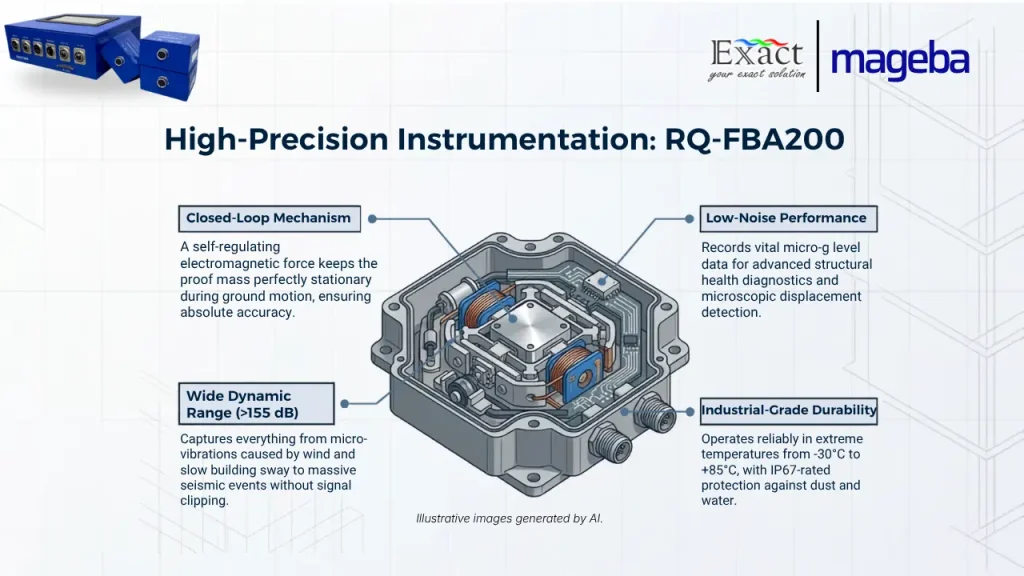
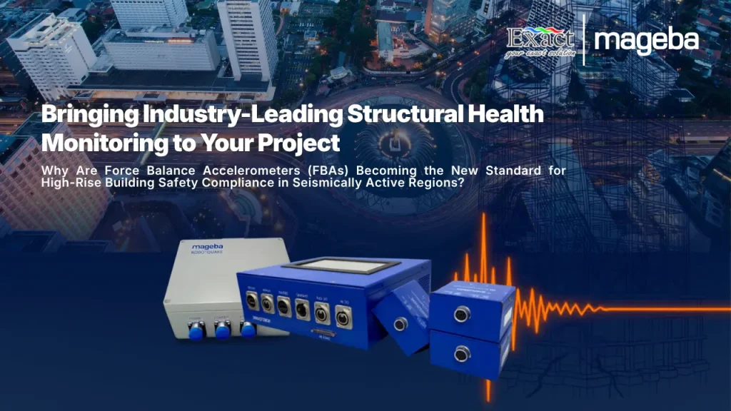
ROBO®QUAKE is an advanced earthquake monitoring and early warning system designed by mageba to protect critical infrastructure through real-time seismic data processing, structural health diagnostics, and automated alerting. Operating as the primary sensor within this platform, the RQ-FBA200 model is a high-accuracy triaxial force-balance (servo) accelerometer engineered specifically for low-frequency structural health monitoring, seismic activity tracking, and geotechnical studies. Unlike conventional accelerometers, the RQ-FBA200 utilizes a closed-loop feedback mechanism that applies an electromagnetic force to counteract the movement of an internal proof mass, keeping it stationary to deliver measurement accuracy directly proportional to structural acceleration. Featuring a wide dynamic range exceeding 155 dB, self-noise performance below the Accelerometer Low Noise Model (ALNM), a selectable output range from ±0.25 g to ±4 g (40 Vpp differential output), a frequency response of DC to 215 Hz, and an industrial operating temperature range of -30°C to +85°C, the RQ-FBA200 accurately detects micro-vibrations, long-term structural sways, and high-amplitude earthquake shocks without signal clipping.

Discover “Plug-and-Walk”: Cut Survey Time by Up to 10× Without Complex Setup
31Jul

Discover “Plug-and-Walk”: Cut Survey Time by Up to 10× Without Complex Setup

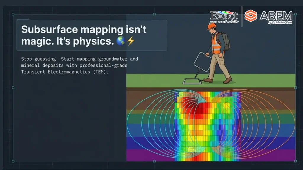
Transform your mineral exploration with the ABEM GroundTEM Trek, distributed by PT. Exact Global Teknologi. This cable-free “Walking TEM” dual-backpack system eliminates heavy line-cutting and slashes setup times from hours to under 10 minutes—delivering real-time subsurface data down to 100 meters. 100% Cable-Free & IP67 Rainproof: Ergonomic 15 kg Tx / 10 kg Rx backpacks built for extreme jungle terrain. Real-Time Inversion: Live pseudo-2D color sections displayed instantly on Android screens. Rapid RKAB Compliance: Map long profile kilometers in days to accelerate MinerbaOne approvals.

ROBO®QUAKE: Advanced Earthquake Monitoring Tool for Building Safety Compliance
24Jul

ROBO®QUAKE: Advanced Earthquake Monitoring Tool for Building Safety Compliance

Operating in active seismic regions requires property managers to prioritize structural safety beyond standard regulations
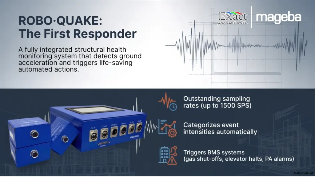
. When an earthquake strikes, ROBO®QUAKE serves as an advanced, IoT-compatible Structural Health Monitoring System (SHMS) that delivers immediate, data-driven answers
. Unlike regional seismographs, this system utilizes high-precision Force Balance Accelerometers (FBAs) to continuously track your building’s specific structural integrity
,
,
.
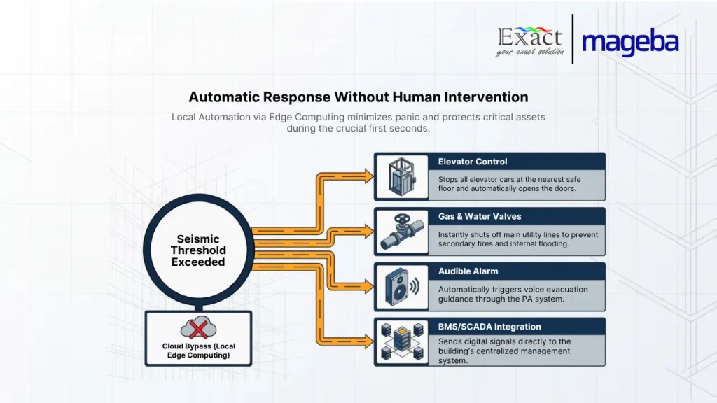
During a seismic event, the system’s edge computing automatically triggers critical building protection equipment
,
. Without waiting for human intervention, it safely stops elevators, shuts off main gas and water valves to prevent secondary disasters, and activates evacuation alarms
,
.
Immediately after the shaking stops, ROBO®QUAKE generates comprehensive condition assessment reports within minutes
,
. Through its secure Digital Twin platform, owners gain real-time visibility into their portfolio’s health
,
. Even during internet outages, on-site teams can view and print physical assessment reports directly from the main unit, ensuring rapid and safe re-occupation decisions.

ROBO®QUAKE Earthquake Monitoring Tool for Buildings
17Jul

ROBO®QUAKE Earthquake Monitoring Tool for Buildings

Living in Indonesia’s active seismic regions requires proactive infrastructure protection. **ROBO®QUAKE** is an advanced, IoT-compatible Structural Health Monitoring System (SHMS) designed to protect buildings and their occupants during earthquakes.

Equipped with high-precision industrial accelerographs, it continuously tracks the vibration status of critical structural components in real time. When dangerous ground acceleration occurs, ROBO®QUAKE instantly triggers automated life-saving actions. It sounds immediate evacuation alarms, sends instant SMS and email notifications, and automatically activates building protection equipment—such as shutting off main gas lines and parking elevators safely.

For rapid post-event assessments, the system securely connects to the ROBO®ONE cloud platform for remote engineering analysis. If power or networks fail, it provides redundant on-site data retrieval via an LCD screen and a built-in thermal printer. Supported locally by PT. Exact Global Teknologi, this modular system is the definitive solution for seismic building protection.

Comprehensive Guide to 3D Laser Scanner Tools: How It Works, Functions, and Latest Trends
03Jul

Comprehensive Guide to 3D Laser Scanner Tools: How It Works, Functions, and Latest Trends

This guide explores how the modern 3D laser scanner tool replaces manual surveying by capturing physical environments into high-density point clouds. It highlights the automated Topcon ESN-100, featuring a “Just Place It!” philosophy with built-in $\pm3^{\circ}$ automatic self-leveling and 100-meter target detection to completely eliminate operator error. Delivering millimeter precision, this terrestrial laser scanner (TLS) seamlessly integrates into BIM workflows, allowing direct data export for automated clash detection and transparent earthwork volume calculations. Backed by empirical evidence from the NPEA project (May 2026), the text demonstrates how 3.6 GB+ of massive spatial data was effortlessly processed on a standard office laptop using MAGNET Collage Office software while maintaining a sub-5mm registration accuracy. Presented by PT. Exact Global Teknologi, this condensed guide serves as an essential technical resource for maximizing efficiency in large-scale infrastructure projects.

3D Laser Scanners for BIM: A Complete Guide and Implementation
26Jun

3D Laser Scanners for BIM: A Complete Guide and Implementation

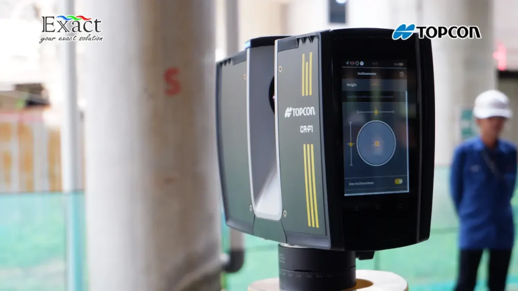
Discover how to maximize project efficiency and data certainty with the Topcon CR-P1, a premier 3D laser scanner tool for BIM. This comprehensive article explores 5 main applications across strategic projects: executing precise Scan to BIM workflows for complex buildings , creating factory Digital Twins with zero operational downtime , and accelerating earthworks tracking through real time cut and fill heat maps. It details how the dual axis compensator optimizes floor flatness and paving checks , while the Resection method secures high accuracy data in hazardous environments from a safe distance. Beyond hardware, we break down the integrated digital workflow of the Topcon Ecosystem , including Collage Site for on site registration , EdgeWise and Verity for smart extraction , and Topcon Enterprise for rapid field to office cloud exchange. Backed by professional training from PT Exact Global Teknologi , this system delivers absolute accuracy and measurable ROI. Read our full guide to upgrade your surveying standards.

3D Laser Scanner Tool for BIM: Topcon CR-P1 Applications in 5 Project Types
24Jun

3D Laser Scanner Tool for BIM: Topcon CR-P1 Applications in 5 Project Types

Discover how a 3D laser scanner tool for BIM transforms complex construction workflows from capturing raw point clouds to building intelligent digital twins. Explore our complete implementation guide featuring the high-speed Topcon CR-P1 system to achieve extreme accuracy and eliminate manual errors on site.

Complete Specifications of the ComNav MS-SAR5000 and Its Competitive Advantages vs. Conventional Radars
10Jun

Complete Specifications of the ComNav MS-SAR5000 and Its Competitive Advantages vs. Conventional Radars

The ComNav MS-SAR5000 is a professional-grade, non-contact slope stability monitoring radar precisely designed to perform real-time ground surface displacement measurements for open-pit mines and areas prone to geological disasters. Moving beyond the limitations of conventional contact tools and older Real Aperture Radar (RAR) technology, the MS-SAR5000 utilizes ground-based Synthetic Aperture Radar (ArcSAR) and Differential Interferometry (D-InSAR) to provide a full 360-degree horizontal coverage up to a 5-kilometer radius, eliminating dangerous blind spots.

Con-Mine 2026 Jakarta: Future Monitoring Technology with PT Exact Global Teknologi
10Jun

Con-Mine 2026 Jakarta: Future Monitoring Technology with PT Exact Global Teknologi

Discover the future of mining technology at Con-Mine 2026 Jakarta, taking place from May 20-22, 2026, at JIExpo Kemayoran.

Join 15,000 professionals and 150 exhibitors from 12 countries to explore cutting-edge industry innovations. Partner with PT Exact Global Teknologi to transform your mining operations through advanced slope monitoring sensors, subsurface mapping systems, and digital infrastructure modernization for optimal safety and efficiency.

Translate »