About the Product
Xenomatix XenoTrack
True Solid-State Road Profiling LiDAR
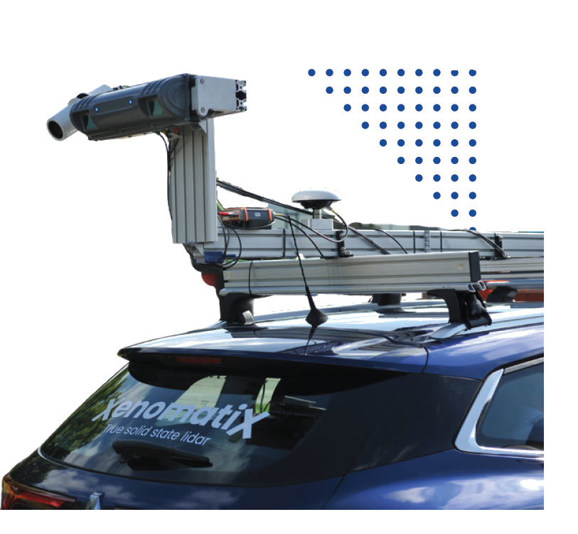
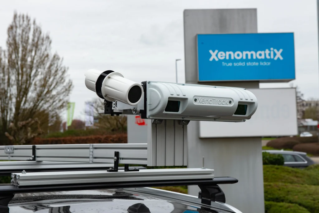
The Xenomatix XenoTrack is a revolutionary true solid-state 3D LiDAR system engineered specifically for high-precision road surface profiling, pavement quality inspection, and autonomous vehicle ADAS testing. Unlike traditional mechanical scanners with spinning mirrors, XenoTrack utilizes semiconductor solid-state optics to deliver immune-to-vibration, millimeter-scale 3D surface geometry.
Seamlessly mounted on the front bumper or roof of standard passenger vehicles, XenoTrack captures real-time high-density point clouds to evaluate International Roughness Index (IRI), rutting, cracking, potholes, and pavement macro-texture at normal traffic speeds under any lighting condition.
Millimeter-Accurate Pavement Diagnostics with Solid-State Reliability
Eliminate mechanical drift and lighting interference in road asset management
Traditional mechanical laser profilers rely on moving mirrors susceptible to vibration degradation, mechanical wear, and calibration loss on rough roads. The Xenomatix XenoTrack solves these limitations with true solid-state laser array architecture. With zero moving parts, the unit maintains strict factory calibration even when driving over severe pavement distresses or unpaved terrain.
Operating at normal traffic speeds, XenoTrack measures 3D surface elevation profiles across a wide transverse swath. The system automatically isolates pavement distresses—such as rut depth, longitudinal roughness, transverse cracking, and potholes—supplying road authorities and civil engineers with objective, verifiable pavement condition data.
Advanced Semiconductor LiDAR & Active Sensing
Engineered for reliable 3D pavement data collection across diverse road conditions:
True Solid-State Architecture: Zero spinning parts or internal mirrors ensure maximum hardware reliability, long service life, and resistance to vehicle shock and vibration.
Day/Night Active Sensing: Uses high-frequency active laser illumination immune to ambient sunlight, deep shadows, wet road glare, or total darkness.
High-Density 3D Point Cloud: Captures thousands of precise 3D surface points per frame for detailed cross-sectional pavement analysis.
Universal Vehicle Mounting: Easily installs on standard vehicle tow bars, front bumpers, or roof racks without requiring heavy structural modifications.
Real-Time Road Metrics & GIS Export Workflows
From raw 3D laser tracks to standardized road condition indices
The XenoTrack software suite processes raw 3D point cloud measurements into standardized road quality indicators automatically. The system computes International Roughness Index (IRI), Mean Profile Depth (MPD), rutting depths, and slope variations instantly during acquisition or post-processing.
Georeferenced spatial data pairs seamlessly with external RTK-GNSS positioning inputs. Data exports cleanly into standard GIS and civil infrastructure formats (LAS, CSV, SHP, KMZ), enabling integration into Pavement Management Systems (PMS), municipal road registries, and highway maintenance workflows.