Every single year, millions of dollars in project delays, severe safety hazards, and catastrophic infrastructure damages occur simply because underground utilities remain unmapped or undetected prior to excavation. In fact, traditional electromagnetic (EM) pipe locators often miss non-conductive buried assets—such as plastic water lines, PVC conduits, concrete drains, and clay sewer pipes. Without a non-destructive way to see beneath the surface before digging, contractors and field crews are left operating in the dark.
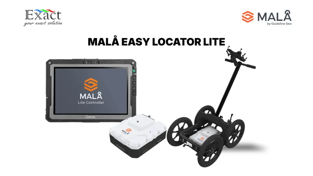
To solve this critical field challenge, Guideline Geo has officially launched the MALÅ Easy Locator (EL) Lite—an intelligent, cost-effective Ground Penetrating Radar (GPR) system purpose-built for rapid subsurface utility detection and on-site mark-out workflows.
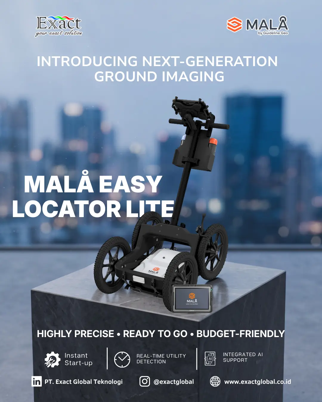
Ready to Work Straight Out of the Box
Unlike traditional data-heavy survey instruments that require extensive setup and post-processing software subscriptions, the MALÅ Easy Locator Lite functions purely as a real-time detection and mark-out tool. Pre-configured with optimized survey settings right out of the box, it eliminates positioning headaches and complex data logging. Operators can go from their transport vehicle to active underground locating in literal seconds.
“We designed Easy Locator Lite around a simple idea: utility locators should be able to focus on finding what is underground, not on operating a complex survey system. By optimizing the GPR workflow for utility locating and adding real-time support from MALÅ AI, we’re making advanced GPR technology practical for a much wider range of operators.”
— Andreas Viberg, Product Manager at MALÅ.
Real-Time MALÅ AI & Intelligent Mark-Out Features
Operating on a dedicated Android application called the Lite Controller, the MALÅ Easy Locator Lite equips field teams with powerful features designed for instant surface marking:
- Real-Time MALÅ AI Assistance: Proactively scans and automatically highlights potential subsurface targets directly on the display screen in real time. This lowers the entry barrier, allowing non-expert operators and field workers to identify buried utilities with high confidence.
- Back Track Tool: Allows the operator to survey past a target, locate it on the radargram, and reverse the unit along the exact line to align the antenna precisely above the utility for instant paint or flag marking.
- Hyperbola Fitting & Set Depth: Enables quick depth calibration. When a target depth is known on site, the operator enters the value into Set Depth, and the system automatically adjusts the background radar velocity to match local soil conditions.
- Comprehensive Utility Detection: Utilizes radio waves to image both conductive (metal cables and pipes) and non-conductive utilities (plastic, concrete, clay) without ground disturbance.
Technical Specifications Summary
|
Specification |
Details |
|
Antenna Center Frequency |
450 MHz |
|
Core Radar Technology |
MALÅ HDR real-time sampling |
|
Acquisition Software |
Lite Controller (Android) |
|
Artificial Intelligence |
Real-Time MALÅ AI target recognition |
|
Battery Operating Time |
> 8 hours continuous operation (Dual 12V Li-Ion) |
|
Environmental Protection |
IP65 weather resistance |
| Carrying Cart |
MALÅ Rough Terrain Cart (RTC) Mini |
Authorized Partner & Contact Information
For sales, product demonstrations, technical support, and inquiries in Indonesia, please contact the authorized distributor, PT. Exact Global Teknologi:
- Company: PT. Exact Global Teknologi
- Website: www.exactglobal.co.id
- Email Marketing: marketing@exactglobal.co.id
- WhatsApp: +62 812-9252-3900