TOPCON LN 160

Home > TOPCON LN 160

About the Product

TOPCON - LN 160

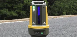
The Topcon LN-150 Layout Navigator bridges the gap between digital design and the physical job site. It is the world’s first 3D layout tool designed specifically for construction verification, allowing you to move from paper plans and tape measures to a fully digital workflow.

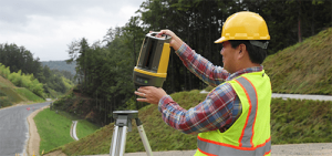
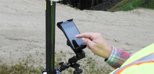
Unlike complex surveying instruments, the LN-150 is built for simplicity with one-button self-leveling setup and easy-to-use software controls. It automatically locks onto the prism for real-time 3D positioning, enabling a single operator to layout points, lines, and CAD drawings with millimeter accuracy over a 130m radius. Whether for interior MEP layout or outdoor foundation work, this tool integrates seamlessly with Autodesk and Bentley cloud workflows.

The equipment is available for daily, weekly, or project-based rental, perfect for contractors needing to accelerate their layout process without the learning curve of a traditional total station.

Technical Overview

  • System Type : 3D Laser Layout Navigator (Robotic).
  • Measuring Range: Up to 130m.
  • Distance Accuracy: ±(3mm + 2ppm x D). 
  • Angle Accuracy : 5″.
  • Self-Leveling: Yes (Automatoc setup).
  • Communication: Wi-Fi and Bluetooth 5.0 (Up to 130m).
  • Protection: IP65.
 

Instrument Rental Package

  • Main Unit Topcon LN-150.
  • Prism: 360° Prism (ATP2).
  • Mounting: Heavy-duty Tripod.
  • Accesories: Carbon Fiber Pole, Bipod, Batteries (BDC72), and Charger.
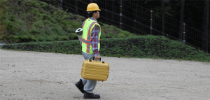
  • Hard case for transport.


Main Applications

  • MEP Layout : Precise positioning of hangers, sleeves, and cable trays.
  • Concrete and Foundations : Layout of anchor bolts, formwork, and footings.
  • As-Built Verification: Rapid checking of completed structures against BIM Models.
  • Interior Finishing : Wall partitions and ceiling grid layout.
  • Digital Construction: Seamless CAD to Field workflow.
Application Areas
Features
Resources
  • Groundwater Prospecting: Effectively map aquifers and distinguish between fresh, brackish, and saline water sources using integrated resistivity and IP data.

  • Geologial Mapping: Assess ground stability, determine bedrock depth, and detect hidden hazards like voids or seepage for safer engineering and infrastructure planning.

  • Mineral Exploration: Locate near-surface mineral deposits by analyzing simultaneous resistivity and IP anomalies to complement and verify drilling data.

  • Up to 12 measurement channels for high speed data acquisition.
  • 100% duty cycle IP mode.
  • High-power transmitter delivering up to 250 w, 2,5 A, and 600V.
  • Rugged and durablle design with IEC IP66.
  • Modern Connectivity,  integrated Wi-Fi, 3G and Ethernet.
  • Versatile Imanging, supports comprehensive 1D, 2D,3D,and 4D for resistivity, IP and SP (Self-Potential) surveys.
  • 16GB internal storage.
  • Built-in GPS, integrated GPS supports GLONASS.
Translate »