ABEM GroundTEM i-Series

Home > ABEM GroundTEM i-Series

About Product

New ABEM GroundTEM – Greater Affordability & Ease-of-Use

TEM methods are well-suited for groundwater location and environmental surveys, but are also useful for applications such as geological mapping and mineral exploration.

GroundTEM

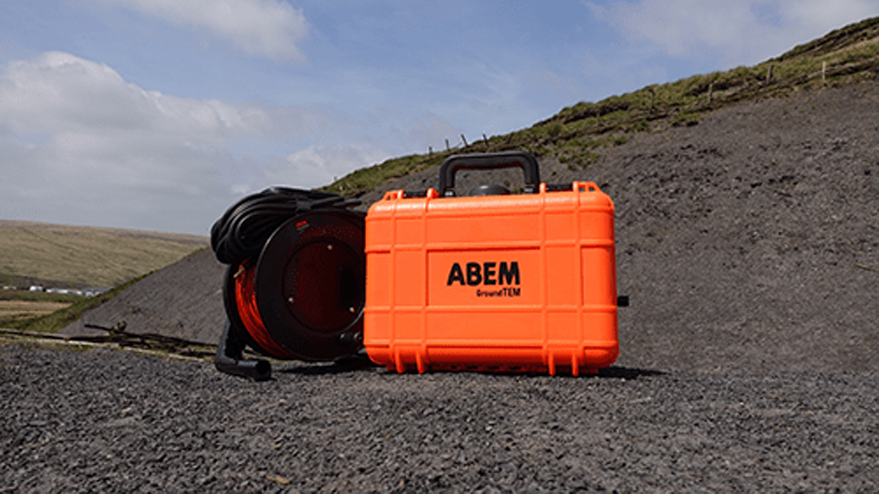
The GroundTEM series is an affordable yet powerful entry-level system. The ABEM GroundTEM i5 is a user-friendly, app-controlled instrument that perfectly complements the existing WalkTEM series.

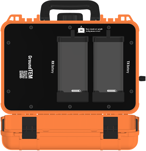
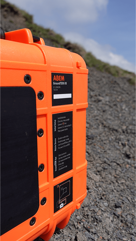
The ABEM GroundTEM i5, i10, and i20 are user-friendly, app-controlled instruments that perfectly complement the existing WalkTEM series. They make groundwater and environmental TEM surveys more affordable, less complex, and faster to implement, with a lightweight, one-box solution.

Cost-Effective TEM Performance for Near-Surface Applications

Redefining what you can expect from an entry-level system

The lower starting price of the GroundTEM i-Series does not mean this is a ‘stripped-back’ system. It benefits from dual-moment output: measurements configured for both shallow and deeper responses are collected in a single measurement period, and then combined in the same data file.

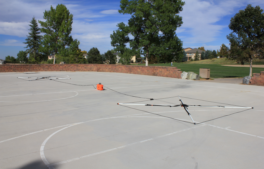
There is a choice of three instruments (5 Amp, 10 Amp, and 20 Amp), three transmitter loop sizes (20 × 20 m, 40 × 40 m, and 80 × 80 m), flexible 3 × 3 m and 5 × 5 m receiver coils, and the innovative Explorer Coils for fast, affordable profiling and area surveys.
Deployment & Portability

Lightweight, with all components shipped in a single Peli-style case

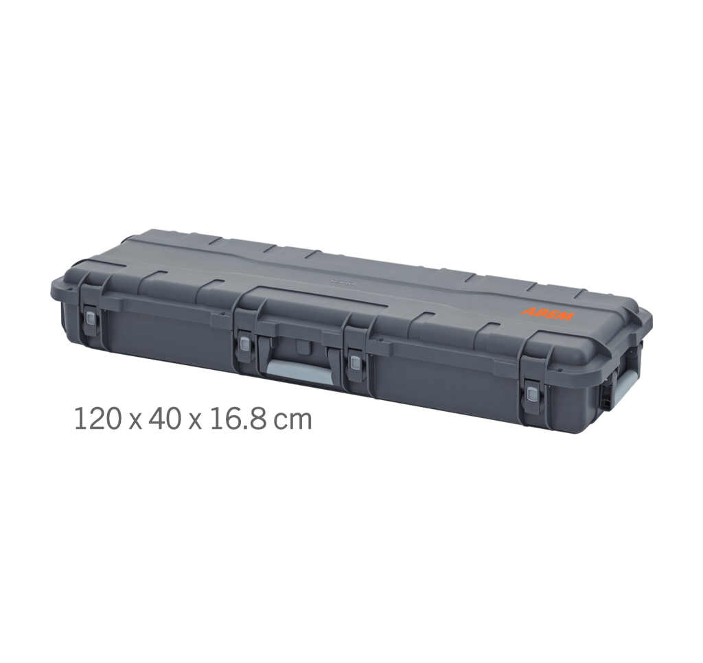
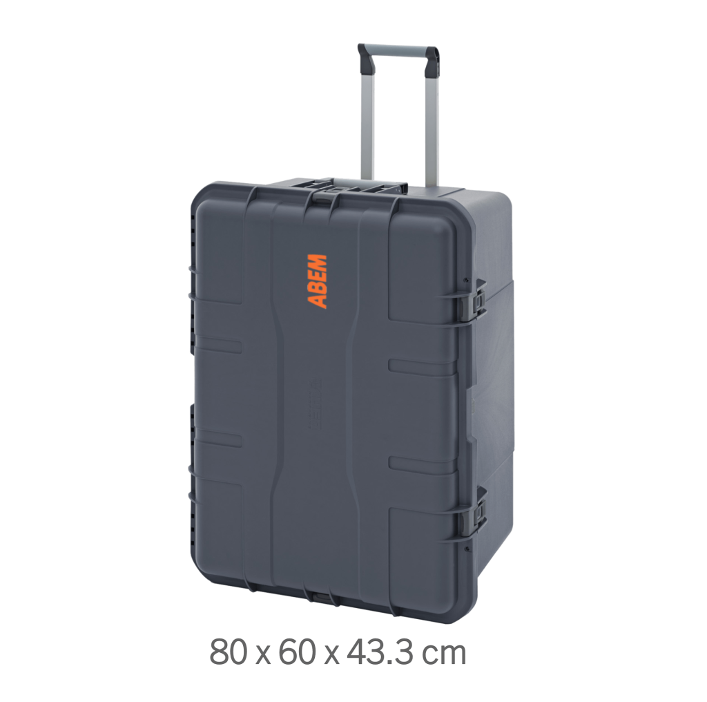
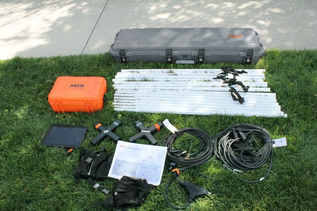
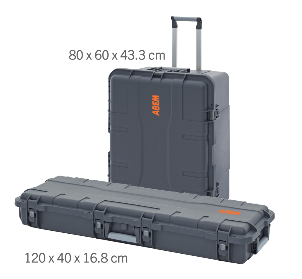
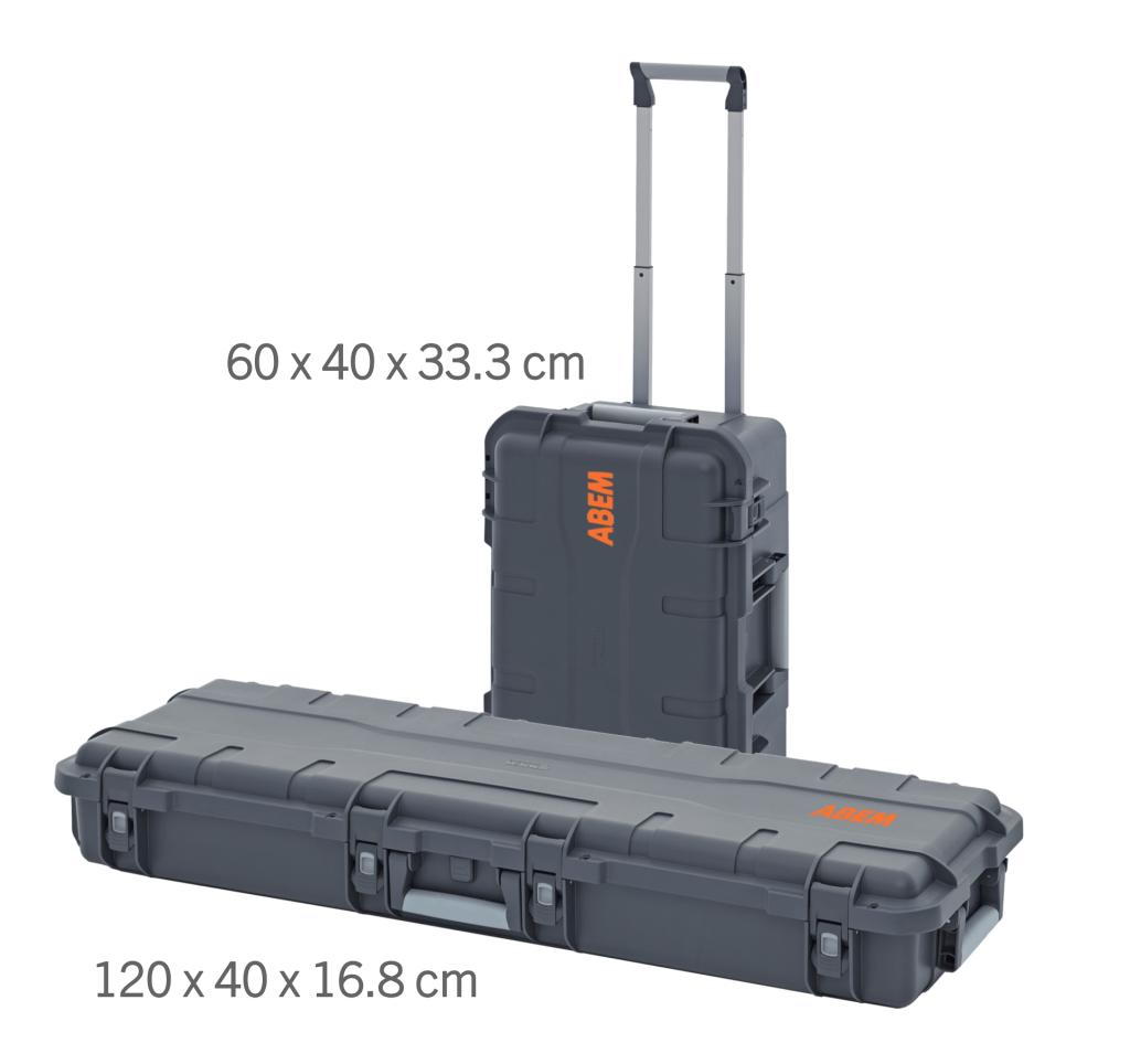
For the regular 20 m, 40 m, and 80 m Tx configurations, the whole system ships in a single transport case, with integral wheels and handles. Arrive on site, open the case, and the instrument, transmitter loop, and receiver coil are ready to lay out. Power comes from two or three (GroundTEM i20) small Li-ion battery packs mounted inside the instrument case, removing the need for heavy, external 12 V batteries.

The transport case weighs under 32 kg in the 20 m or 40 m Tx configuration (if batteries and charger are taken separately) and can thus be shipped as hold luggage on regular flights. In extreme cases, the system can be packed down into smaller cases for even easier transportation.

A dedicated Peli-style case is provided for the Explorer Coils, also featuring integral wheels and carry handles. Depending on your purchase configuration (Explorer Coils only, or combined with Tx loops), suitable cases are supplied to ensure safe and easy transport of all accessories.

Explorer Coils

For rapid shallow TEM measurements

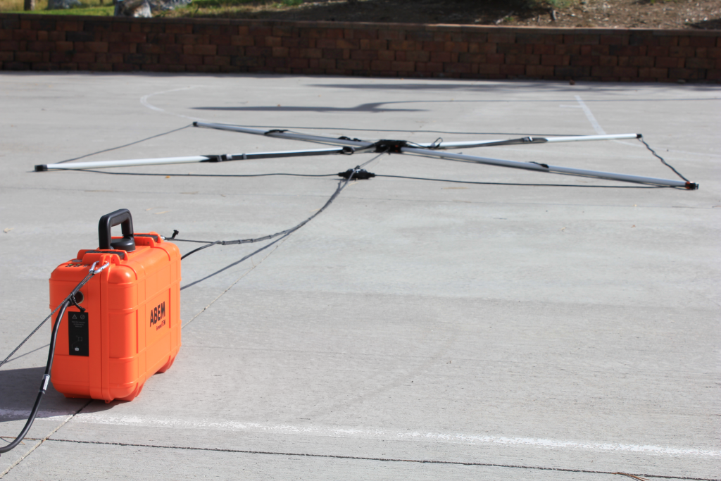
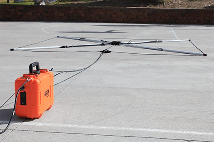
The Explorer Coils are an essential accessory for the GroundTEM i-Series. They comprise a pair of Tx and Rx coils, mounted on carry frames, that make moving between stations simple and fast, even in difficult terrain. They can be purchased as part of a new package or added to an existing system.

The Explorer Coils offer a budget-friendly means of producing either 2D profiles or large area surveys from a series of 1D soundings. They are available in two sizes: 3 × 3 m for depths down to 120 m, and a 1.6 × 1.6 m set for shallow surveys, providing better near-surface detail, especially useful on sites where space might be limited.

Real-Time Inversion

View processed resistivity models instantly while collecting TEM data in the field

Real-time inversion is now available as a premium upgrade for the GroundTEM i-Series (i5, i10, i20), when running v2.0.3 of the GroundTEM i-Series App or higher. Real-time inversion and stacked decay curves / apparent resistivity charts offer a clearer overview compared to viewing individual raw data from each cycle. The results appear automatically in a new view tab in the App.

Existing GroundTEM units can be upgraded remotely with support from our team. The system will continue to work without a subscription – data collection and system configuration are in the basic, free package. New and existing customers get a 3-month free trial.

Selected Technical Specifications

Application Area
Features
Resources
  • Groundwater Prospecting: Optimized for rapid mapping of deep aquifers and salinity mapping (fresh, brackish, and saline water) without galvanic contact.

  • Geological Mapping: Efficiently identify clay layers, determine depth to bedrock, and map stratigraphic layers over large areas.

  • Environmental Monitoring: Detect and track groundwater contamination plumes and monitor saltwater intrusion in coastal environments.

  • Resource Assessment: Assess gravel and sand deposits or other mineral resources that exhibit distinct conductivity signatures.

  • Rapid data acquisition, TEM technology to perform deep sounding without the need for long cables or electrode stakes.
  • High power output.
  • On-board data processing.
  • Ruggedized performance, shock-resistance case with high IP-rating.
  • Wireless connectivity, integrated Wi-Fi and Bluetooth.
  • GPR integration.
Translate »