We recently had the incredible opportunity to participate in one of the most important events in the geoscience sector this year. From May 11 to May 13, 2026, researchers, engineers, industry experts, and students from all over the world gathered in Bandung, Indonesia.
The event, hosted at the Institut Teknologi Bandung (ITB) Ganesha Campus, served as a major hub for sharing ideas about the future of our planet. As a company dedicated to providing top-tier technology for earth sciences, we made sure to bring our best to the table. Here is our complete flashback of the event, the insights we gained, and how our solutions are helping to shape the future.
A Historic Venue for Forward-Looking Ideas
We could not have asked for a better location. Set in the beautiful highlands of West Java, Bandung is known for its strong academic roots and creative spirit. The event took place in the East and West Halls of ITB. These historic buildings have stood since 1920 and serve as symbols of engineering education in Indonesia.
During the opening ceremony, ITB Rector Prof. Dr. Ir. Tatacipta Dirgantara, M.T. welcomed all of us to the city. He reminded us that ITB is the oldest engineering university in Indonesia, about to celebrate its 106th anniversary in July 2026. Standing in such a historic place motivated our team to present modern solutions that honor this long tradition of engineering excellence.
Exploring Geoelectrical Methods with PT. Exact Global Teknologi at NSGE 2026
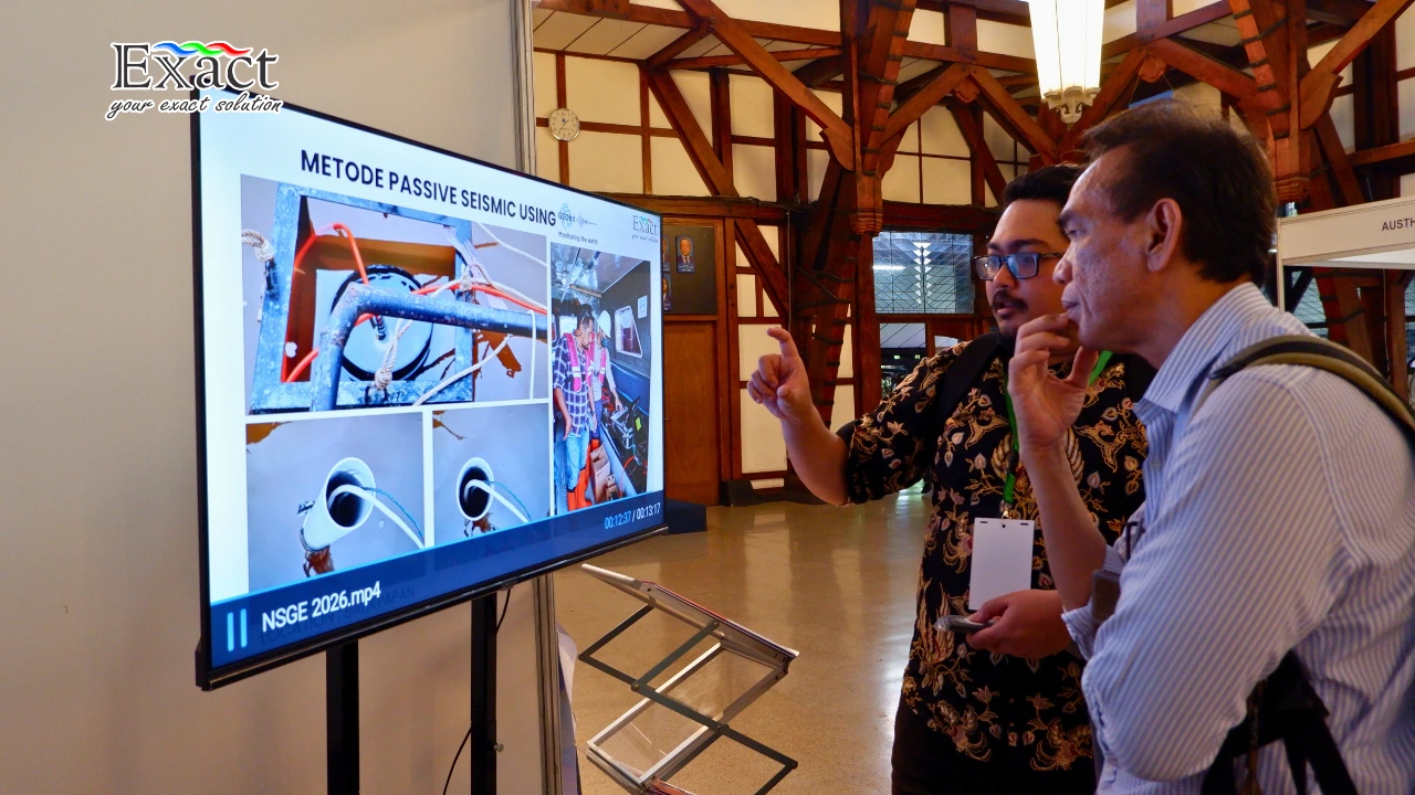
One of our proudest moments was Exploring Geoelectrical Methods with PT. Exact Global Teknologi at NSGE 2026. As near-surface challenges become more complex, we need reliable and accurate tools to map what lies beneath the ground. Geoelectrical methods allow us to see subsurface structures without digging.
During our sessions, we showed how these methods provide crucial data for site characterization and groundwater mapping. This perfectly matched the conference’s goal of finding applied technologies for environmental geophysics and natural hazard mitigation. By partnering with Guideline Geo, Geobit, Radiodetection, Topcon, Comnav, and Xenomatix we proved that having the right equipment makes a massive difference in how we understand the earth.
Big Themes at the Near Surface Geoscience & Engineering conference
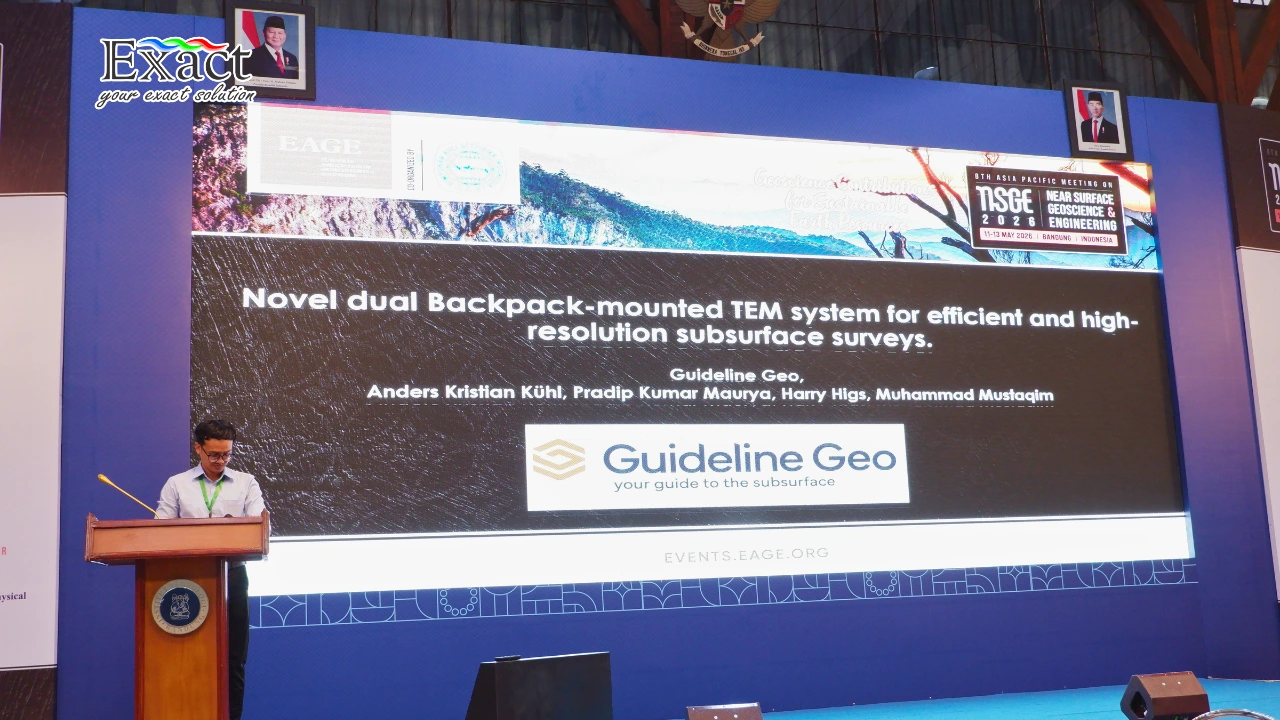
The Near Surface Geoscience & Engineering conference focused heavily on how we can survive and thrive on a changing planet. The Rector of ITB noted that dealing with underground issues now requires teamwork across many fields. Geoscientists, environmental experts, city planners, data scientists, and policy makers must work together.
We saw many presentations about the energy transition, supporting geothermal energy, and carbon storage. In fact, ITB highlighted its own Center for Carbon Capture, Utilization, and Storage (CCUS), which researches geological storage and sustainable energy. We were thrilled to see how much our field is doing to address climate risks and environmental pressures.
Showcasing PT Exact Global Teknologi geophysical monitoring tools
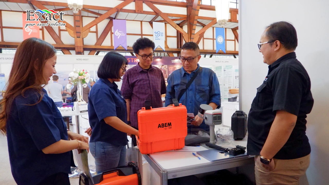
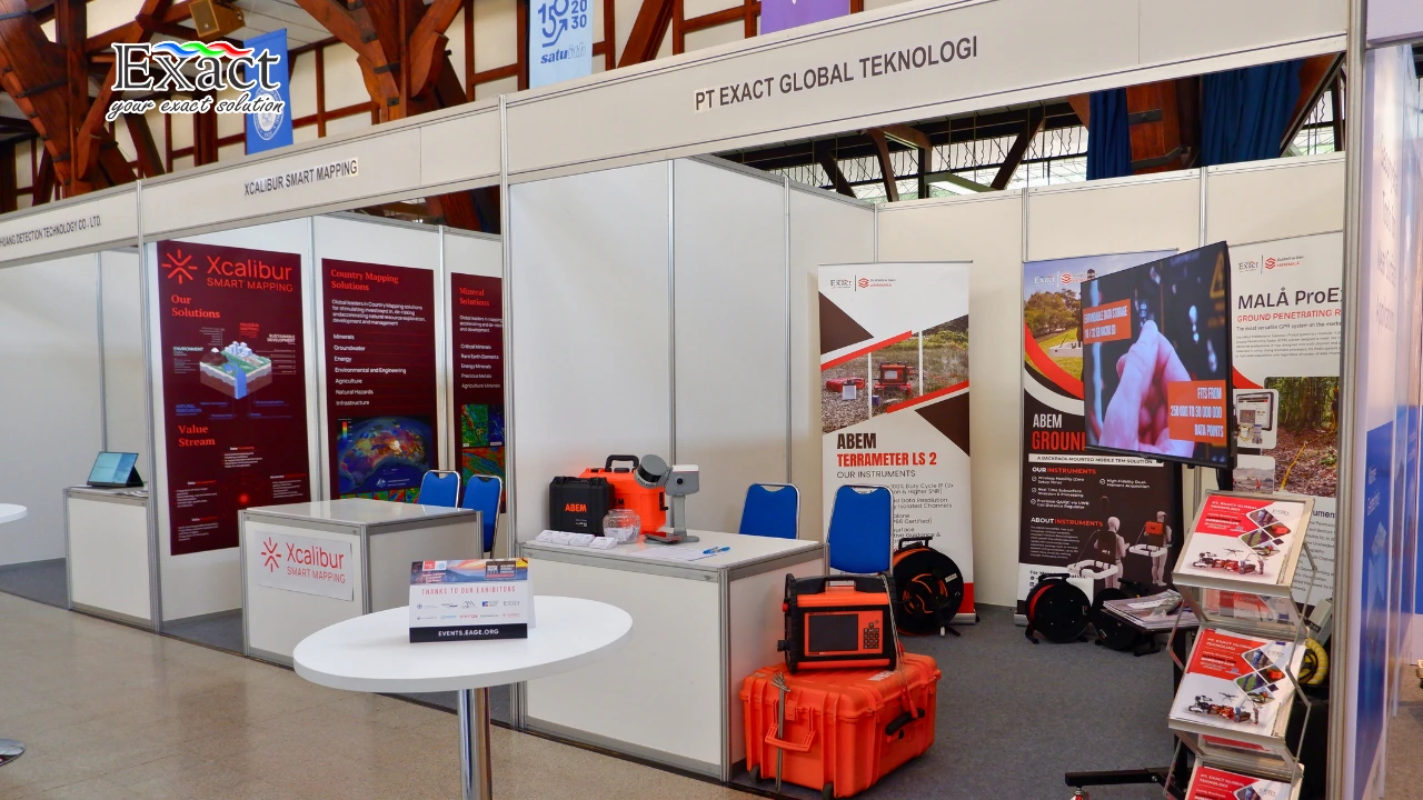
Throughout the three-day event, many visitors stopped by to learn about the PT Exact geophysical monitoring tools. We designed our booth to give hands-on demonstrations. The President of the European Association of Geoscientists and Engineers (EAGE), Dr. Sanjeev Rajput, mentioned in his speech that geoscience technology is vital for environmental sustainability and managing resources.
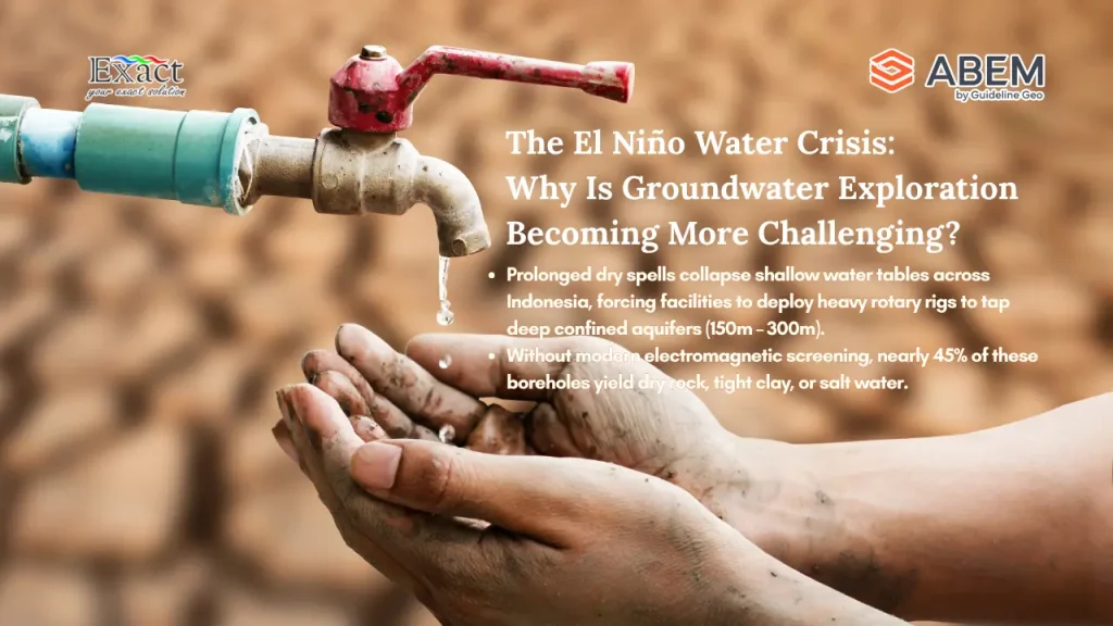
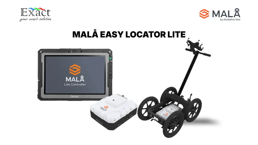
Our monitoring tools answer this exact need. We supply equipment that monitors ground stability, detects water resources, and earth monitoring. Seeing the strong interest from university researchers and mining engineers confirmed that our tools are hitting the mark.
Delivering Geotechnical solutions for infrastructure development
As cities grow rapidly, building safe roads, bridges, and buildings is harder than ever. Urban development and infrastructure resilience were major topics at the event. We took this chance to highlight our Geotechnical solutions for infrastructure development.
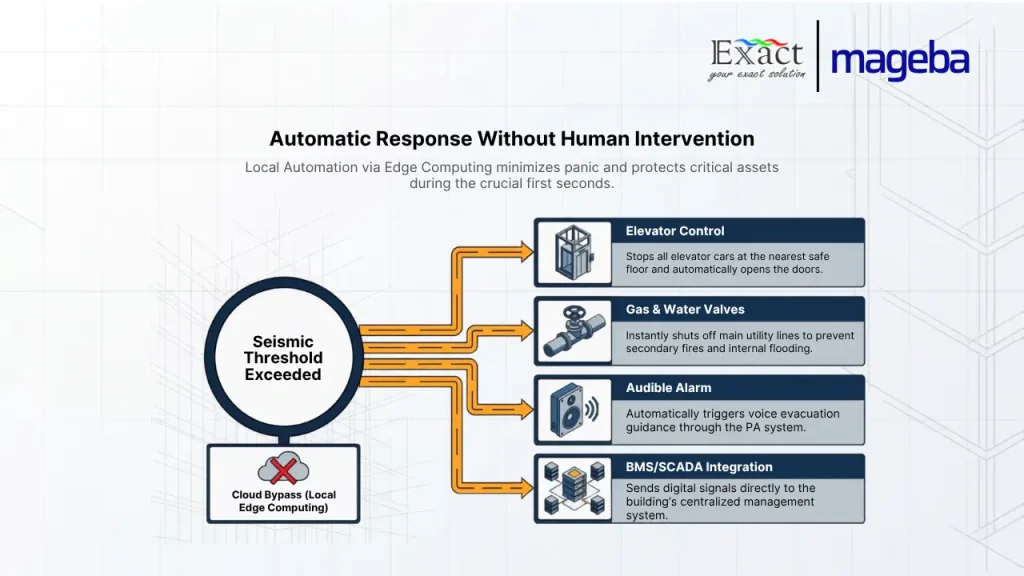
Before anyone pours concrete, they need to know if the ground can hold the weight. Our technology helps engineers test soil strength and spot hidden dangers like sinkholes or fault lines. The ITB Disaster Mitigation Research Center also shared how scientific solutions are needed to handle earthquakes, landslides, and volcanic risks in Indonesia. We are proud that our geotechnical solutions provide the hard data needed to build safely in these high-risk areas.
A Powerful Network at the EAGE Asia Pacific meeting 2026
The EAGE Asia Pacific meeting 2026 was a massive joint effort. ITB collaborated with EAGE and the Indonesian Association of Geophysicists (HAGI) to make it happen. HAGI President Dr. Ir. Dedi Yusmen stated that the forum was a strategic place to build teamwork between academics, industry professionals, and the global geophysics community.
Looking Ahead to a Sustainable Future
By the time the event ended on May 13, our team felt energized. The event proved that applied technologies and sustainable practices are no longer just ideas; they are active projects. Whether the goal is managing urban growth, moving toward clean energy, or protecting communities from natural hazards, geoscience is leading the way. We are excited to keep supporting these goals with our reliable tools and expert services.
Frequently Asked Questions (FAQ)
-
What was the main focus of the NSGE 2026 event?
The 8th Asia Pacific Meeting on Near Surface Geoscience and Engineering focused on applied technologies, sustainable practices, and cross-sector insights to solve complex near-surface challenges. Key topics included environmental geophysics, urban development, natural hazard mitigation, and the energy transition.
-
Who organized the NSGE 2026 conference?
The event was a collaborative effort between the Institut Teknologi Bandung (ITB), the European Association of Geoscientists and Engineers (EAGE), and the Indonesian Association of Geophysicists (HAGI).
-
Why are geoelectrical methods important for infrastructure?
Geoelectrical methods allow engineers to map the subsurface without drilling. This helps identify groundwater, unstable soil, and rock types. Using these methods ensures that new buildings and roads are placed on safe, stable ground.
-
How do PT Exact Global Teknologi’s tools help with natural hazards?
Our geophysical monitoring tools provide accurate data about the physical properties of the earth. This data helps researchers and engineers detect potential landslide zones, map fault lines, and understand ground conditions, which directly supports disaster mitigation efforts.
-
What role does geoscience play in the energy transition?
Geoscience is critical for finding and managing clean energy sources like geothermal energy. It is also required for site characterization in carbon storage projects, ensuring that captured carbon stays safely underground.
About PT. Exact Global Teknologi
We are dedicated to providing the best geophysical and geotechnical solutions. Whether you are mapping groundwater, securing a construction site, or conducting academic research, we have the tools and expertise to help you succeed.
Contact Us Today:
- Website: www.exactglobal.co.id
- Email Marketing: marketing@exactglobal.co.id
- WhatsApp: +62 812-9252-3900