When we look at the budget for a new geothermal exploration project, one thing always stands out. The instruments themselves only make up a small part of the total cost. The real money drain? Logistics. If you work in geothermal exploration, especially in tropical regions with thick jungles and steep mountains, you know the struggle. Moving equipment into a dense forest is hard, and keeping it running for months is even harder.
You have to rent helicopters, hire local porters, clear roads, and constantly send teams back into the field just to swap out heavy batteries. But what if you could stop this cycle? What if you could leave your seismic stations alone for months at a time?
In this article, we will show you exactly how using the low power seismometer (Geobit C-100) not just as a sensor, but as a logistics-elimination tool, you directly speak to the financial pain points of decision-makers in the geothermal industry. Here is how using a low power seismometer for remote area monitoring can significantly cut your operational expenses (OPEX) and logistics costs.
1. Say Goodbye to Heavy Car Batteries
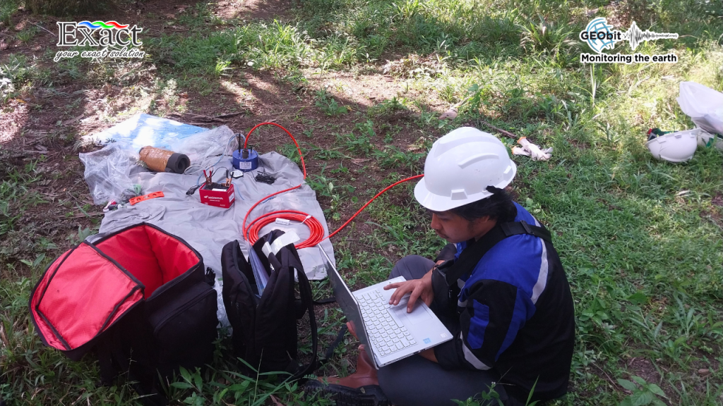
In a standard passive seismic survey, conventional sensors and dataloggers consume a lot of electricity. To keep them running in the field, teams usually have to carry massive 12-volt car batteries. One car battery weighs around 15 to 20 pounds. meaning a network of 30 seismic stations requires carrying dozens of heavy batteries deep into the jungle on foot.
By switching to a low power seismometer, you change the math. Modern low-power systems like the Geobit ecosystem use less than 1 watt of power. Because they need so little energy, you can run them on much smaller, lighter batteries. Your field team can easily carry the power supply in a standard backpack, instantly cutting your porter and transportation costs.
2. Shrink Your Solar Panels and Save the Trees
If you want to keep your stations running off-grid, solar panels are the obvious choice. To power a standard, power-hungry seismometer under the trees, you need large solar panels. To make those large panels work, you have to cut down trees to create a clearing, which requires environmental permits, chainsaws, and extra labor time.
A low power seismometer solves this problem entirely. Because the power draw is so small, a tiny 10-watt to 20-watt solar panel is often more than enough to keep the battery charged, even with limited sunlight. You do not need to clear large patches of forest, saving money on labor while protecting the environment.
3. Ultra-Compact Design for Rapid Field Deployment
Heavy logistics are not just about power; the physical size of the sensors dictates how fast your team can move. The low power seismometer Geobit C-100 is highly optimized for rapid passive seismic deployment. The borehole type enclosure has a diameter of only 50mm and a length of 180mm, weighing a mere 600g. If you opt for the surface type unit, its dimensions are incredibly compact at only 115x90x55mm.
Furthermore, no mass-lock or centering is required, which makes for an easy connection with the digitizer. The settling time of the unit is very short, only thirty seconds. This lightweight form factor allows your team to deploy more stations in less time without renting heavy off-road transport vehicles.
4. Real-Time Monitoring and Continuous Data Access
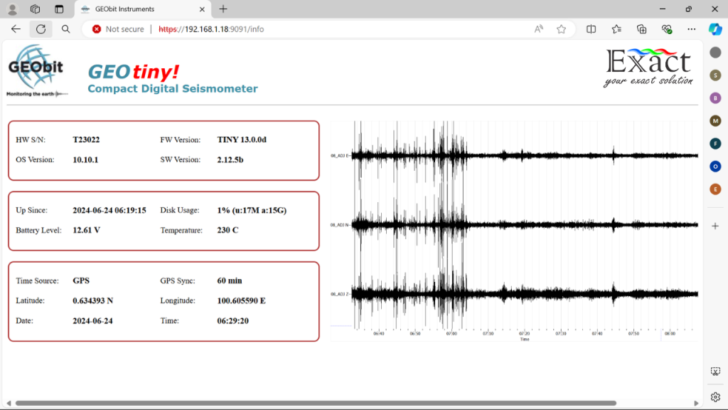
Every time your team has to visit a seismic station to do maintenance or retrieve data, you lose money on fuel, food, and daily wages. The The low power seismometer Geobit C-100 transforms this workflow through seamless data integration. The sensor electronics are housed outside the sensor casing in a separate box or integrated directly into the GEOthree/six digitizers.
This ecosystem allows you to establish a “deploy and forget” phase. You install the sensor, connect the small solar panel, turn on the low-power datalogger, and walk away. From there, the system provides reliable capabilities for continuous monitoring of the earth. It is ideal for local and regional earthquake seismology as well as human or induced micro-seismicity monitoring. By reducing your field visits and accessing data efficiently, you keep your OPEX strictly under control.
5. Prevent Data Loss from Power Failures
Logistics costs are not just about transportation. Sometimes, the biggest hidden cost is bad data.
If a station loses power because a heavy battery drains faster than expected, the seismometer stops recording. If you miss a critical micro-seismic event because the station was dead, your data model becomes incomplete. You might even have to extend the survey timeline to gather more data, which pushes your budget higher.
A low power seismometer GEObit C-100 for remote area setups offers incredible stability. Because it draws such little current, the risk of a power failure drops to almost zero. You get continuous, uninterrupted data. Getting the job done right the first time is the ultimate way to save money.
6. Reusable Equipment Increases Your Total ROI
Many traditional borehole sensors have to be permanently cemented into the ground to get good data. Once the geothermal project is over, that expensive sensor stays buried forever. It becomes a sunk cost.
Today, the best low power sensors come with smart, elastic clamping mechanisms. They lock tightly against the rock walls to capture clear signals, but you can pull them back up to the surface when the job is done.
This means your logistics and procurement teams only have to buy the equipment once. You can pull the low power seismometer out of the ground, pack it up, and move it to your next geothermal block. Reusing your equipment across multiple sites gives you a massive Return on Investment (ROI) and lowers the starting cost for your next project.
Managing a geothermal exploration project in remote areas does not have to break your budget. When you switch to a low power seismometer for remote area networks, you drop the heavy batteries and lose the big solar panels. The low power seismometer (C-100) is a wideband sensor (10sec – 98Hz) with high sensitivity (1500 V/m/sec) that proves you do not sacrifice data quality for power efficiency. The math is simple: lower power equals lower logistics costs.
At PT. Exact Global Teknologi, our job is to make sure you have the best gear and the right knowledge to use it. Because when you eliminate the guesswork from your layout, the complex becomes simple. Let’s get to work.
Frequently Asked Questions (FAQ)
What exactly is a low power seismometer? It is a highly sensitive instrument used to detect ground vibrations (like micro-earthquakes), designed specifically to consume very little electricity—often less than 1 watt. This makes it perfect for off-grid areas.
How long can a low power seismometer run off-grid? When paired with a small 10W to 20W solar panel and a standard lightweight battery, it can run continuously for many months, or even years, without needing a human to swap the power supply.
Will a low power seismometer still give me high-quality data? Yes. The Geobit C-100 provides a wide response range from 10sec to 98Hz and high sensitivity of 1500 V/m/sec. Modern technology allows these sensors to record broad frequency ranges and highly sensitive data without needing massive amounts of power.
How does the compact size of the sensor improve field logistics? The physical footprint of the sensor drastically reduces transportation limits. With the borehole enclosure weighing only 600g at 180mm in length, and the surface type measuring just 115x90x55mm, field teams can easily transport multiple units in backpacks without needing heavy off-road vehicles.
Can these sensors be used in harsh weather? Yes. They are built inside waterproof and pressure-resistant casings. They are made to survive extreme temperatures (-20 to +70°C), 100% humidity, and deep underground conditions common in geothermal fields.