In the fast-paced geospatial industry, efficiency is the ultimate goal. The year 2026 demands equipment that delivers not just accuracy, but also endurance. The ComNav N3 (SinoGNSS N3) answers this challenge, offering a GNSS RTK solution designed for extended working hours and superior signal range.
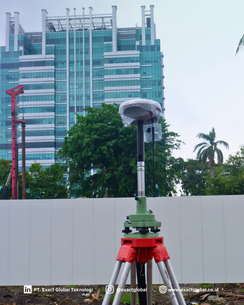
Based on the latest technical specifications, here is a comprehensive review of why the ComNav N3 stands out as the new standard for professional surveyors.
Battery Endurance Record: 25-Hour Operation & Hot-Swap
The most defining feature of the ComNav N3 is its highly efficient power management. The receiver is powered by dual 3400mAh Li-ion batteries (7.4V total), capable of supporting up to 25 hours of typical operation.
Key power system advantages include:
- Hot-Swappable Design: Allows users to swap batteries without powering down the device, ensuring zero downtime in the field.
- Energy Efficiency: Features industry-leading low power consumption, requiring only 1.7W in static mode.
- Flexible Charging: Supports mobile charging, providing a practical solution for remote areas without fixed power sources.
120° IMU Tilt Survey: Accuracy Without Calibration
The ComNav N3 moves beyond traditional bubble levels by integrating a reliable Inertial Measurement Unit (IMU). This technology allows surveyors to measure points quickly without needing to hold the pole perfectly vertical.
- Tilt Compensation: Supports tilt compensation up to 120 degrees.
- High Precision: Maintains accuracy within 2.5 cm even when the pole is tilted.
- Calibration-Free: The system is calibration-free and resistant to magnetic interference, eliminating time-consuming setup procedures.

Enhanced UHF” Connectivity Up to 15 KM
For operations in blank spots lacking cellular coverage, the ComNav N3 utilizes integrated Enhanced UHF technology. The internal radio is engineered for extreme range while maintaining low power consumption.
- Long Range: Capable of transmitting and receiving data over distances of 3 km to 15 km, depending on the environment.
- High Compatibility: Operates within the 410-470 MHz frequency range and supports multiple protocols (Transparent, TT450S, South, Satel), ensuring seamless connection with other receiver brands.
New K8-Platform: Tracking 50+ Satellites Simultaneously
At the heart of the ComNav N3 lies an advanced GNSS engine powered by the new K8-platform architecture. This receiver is capable of tracking more than 50 satellites simultaneously across all major constellations (GPS, GLONASS, BeiDou (including Global Signal B3 & B2b), Galileo, QZSS, and IRNSS).
- Superior Signal Availability: The ability to lock onto 50+ satellites ensures that a “Fixed” solution is achieved significantly faster, even in obstructed environments like urban canyons or under dense tree canopies.
- Robust Performance: By processing signals from all visible satellites with advanced anti-interference algorithms, the N3 provides unmatched stability and precision where older generations might fail.
Rugged Design for Extreme Terrain
The ComNav N3 is built with a Magnesium-Aluminum Alloy housing, offering maximum protection without adding unnecessary weight.
- IP67 Rating: Fully waterproof and dustproof, safe for use in heavy rain or dusty mining sites.
- Shock Resistance: Designed to survive a 2-meter drop onto concrete.
- Ergonomic Build: Weighs only 1.2 kg (including two batteries), reducing surveyor fatigue during long shifts.
Connectivity and Software Ecosystem
Designed for the modern connected job site, the ComNav N3 offers a versatile suite of connectivity and software options.
- Seamless Connectivity: Features Bluetooth 5.0 for ultra-long-range connections and NFC for instant pairing. It also includes a built-in 4G modem that works perfectly with CORS networks worldwide.
- Web-Based UI: Users can check status, configure the receiver, and download static data directly via Wi-Fi using a powerful web user interface.
- Flexible Software Support: The device is powered by Survey Master, an Android-based data collection software with a wizard function for easier workflows. It is also compatible with third-party industry standards like Carlson SurvCE and MicroSurvey FieldGenius.
- Office Integration: For post-processing, the SinoGNSS Compass software provides complete solutions for GPS/GLONASS/BeiDou/Galileo data, supporting standard RINEX formats.
Ideal Applications for the ComNav N3
With its robust specifications, the ComNav N3 is perfectly suited for key industries driving infrastructure and development.
- Infrastructure Development: Ideal for road construction, bridge building, and urban planning where exact data and reliability are critical. The high-accuracy RTK ensures precise execution of complex engineering projects.
- Precision Agriculture: Supports farmers with exact location data for optimizing crop yields and resource management.
- Disaster Management: The rugged IP67 design and long-range UHF make it reliable for environmental monitoring and assessing damage in disaster-stricken areas where infrastructure may be compromised.
- Mapping and Surveying: Specifically designed for tasks like Surface Stake and Mapping Survey, supporting direct CAD import for efficient stakeout operations
The ComNav N3 (SinoGNSS) is more than just a measuring tool; it is a productivity investment. With its combination of a 25-hour battery, 120° IMU Tilt Survey, 15 km radio range, and broad software compatibility, it is the top Geodetic RTK GPS recommendation for 2026.
FAQ
What is the battery life of the ComNav N3 GNSS RTK receiver?
The ComNav N3 features a long-lasting battery life of up to 25 hours typically. This capability supports long fieldwork sessions and includes hot-swap support, ensuring you don’t need to power off to change batteries.
Does the ComNav N3 support IMU Tilt Survey?
Yes, the ComNav N3 is equipped with a reliable IMU module. It supports tilt compensation up to 120°, allowing for precise measurements with 2.5 cm accuracy even when the pole is not vertical, and it requires no calibration.
What satellite systems does the ComNav N3 support?
The ComNav N3 tracks full constellations. It supports GPS, GLONASS, BeiDou (including Global Signal B3 and B2b), Galileo, QZSS, and IRNSS.
How accurate is the ComNav N3 in terms of GPS Geodetic RTK accuracy?
The ComNav N3 offers high precision with RTK accuracy of 8mm + 1ppm Horizontal and 15mm + 1ppm Vertical. Its advanced anti-interference technology ensures reliable fix rates even in complex environments.
Can the ComNav N3 be used in challenging environments?
Yes, the ComNav N3 is built with a rugged magnesium-aluminum alloy housing and is rated IP67 for water and dust protection. It is designed to survive a 2-meter drop onto concrete and operates in temperatures ranging from -40°C to +65°C.
What are the ideal applications for the ComNav N3?
The ComNav N3 is versatile and ideal for various tasks, including Surface Stake, Mapping Survey, and infrastructure projects. Its enhanced UHF and IMU features also make it excellent for topographic surveys in difficult terrain.
What kind of connectivity options does the ComNav N3 offer?
The receiver offers extensive connectivity, including an Enhanced UHF internal radio with a working range of 3-15 km. It also features 4G LTE cellular, Bluetooth 5.0, NFC, and dual-band Wi-Fi.
Is the ComNav N3 compatible with third-party software?
Yes, the ComNav N3 is compatible with third-party field software such as Carlson SurvCE and MicroSurvey FieldGenius. Additionally, it supports standard data formats like RINEX, CSV, and TXT for easy integration with office software.