Optimizing Utility Mapping: Combining GPR & RD8200 for Accurate Detection (Available in Indonesia)

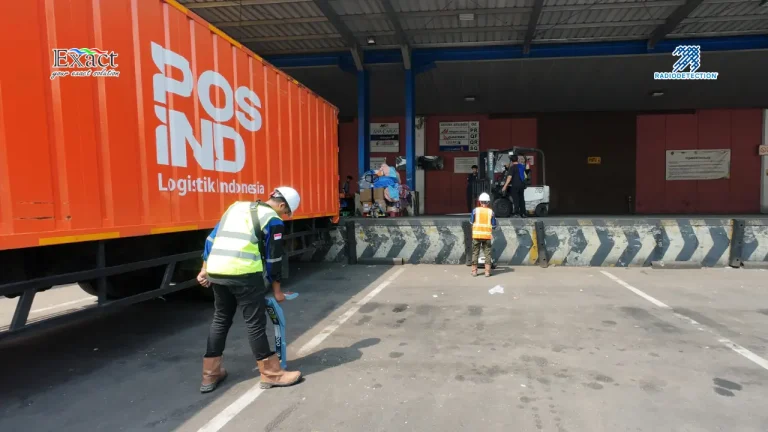
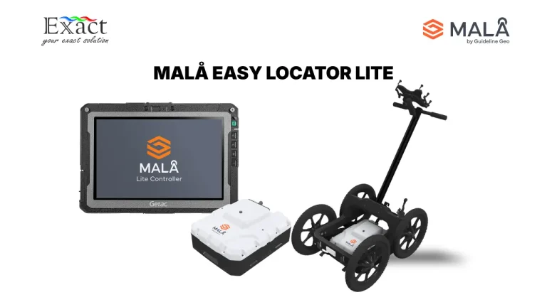
Combination MALA GPR and RD8200 in the field.

Underground infrastructure in major Indonesian hubs like Jakarta and Surabaya is becoming more congested every day, leading to a recurring risk of buried utility strikes. As geophysics professionals, we can no longer rely on a single technology; using only one means working “half-blind”. Learn how the strategic combination of Ground Penetrating Radar (GPR) and the Radiodetection RD8200 series creates a complete subsurface picture—ranging from conductive metal pipes and power cables to non-conductive PVC water pipes and fiber optic lines . With advanced features such as the Swing Warning System and Dynamic Overload Protection, data accuracy is maintained even in noisy, complex urban environments. Discover our recommended 3-phase workflow for precision results with PT. Exact Global Teknologi, the authorized Radiodetection agent in Indonesia.

Stop Guessing Where the Pipes Are: Why Jakarta’s Sidewalk Projects Must Adopt 3D GPR in Indonesia

3D MALA MIRA COMPACT

The Challenge: Jakarta’s Narrow Paths and “Blind” Maps
Mapping underground infrastructure in dense urban environments like Jakarta is a high-stakes challenge. Existing utility maps are often outdated or inaccurate, and the physical constraints of narrow 1.5-meter sidewalks make traditional mapping methods nearly impossible to execute. In these restricted spaces, construction teams often resort to “blind trenching,” which leads to dangerous utility strikes, massive water leaks, and billions of Rupiah in fines.

Translate »