MALÅ MIRA 3D Compact

Home > MALÅ MIRA 3D Compact

About Product

MALÅ MIRA Compact
High-Resolution 3D GPR Array Solution

The MALÅ MIRA Compact is a ground-breaking 3D GPR (Ground Penetrating Radar) array system engineered for rapid, high-density subsurface mapping. Designed to bridge the gap between single-channel profiling and large-scale vehicle-towed operations, this compact array delivers true 3D data acquisition in a single pass.

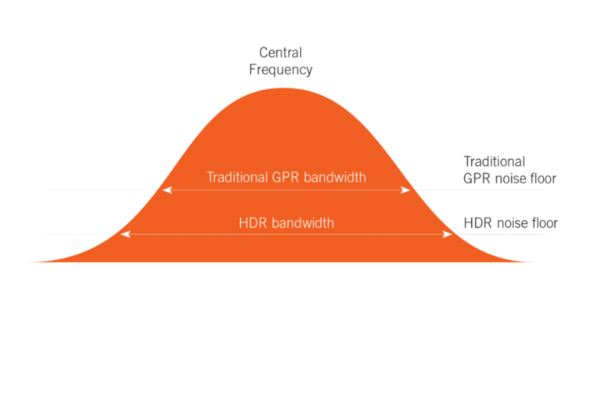
Built on MALÅ’s industry-leading High Dynamic Range (HDR) platform, it allows utility mapping professionals, surveyors, and engineers to scan large areas with unmatched speed and maximum data density without sacrificing resolution.

True 3D Subsurface Visualization in a Single Pass

Uncompromising data density and operational efficiency

The MALÅ MIRA Compact redefines efficient shallow subsurface mapping by collecting multiple parallel profiles simultaneously. Powered by advanced HDR technology, the system delivers remarkable signal clarity, deep penetration, and high-resolution data that traditional single-channel GPR units simply cannot match. It completely eliminates the guesswork out of data interpretation by creating tight, seamless 3D data cubes.

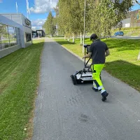
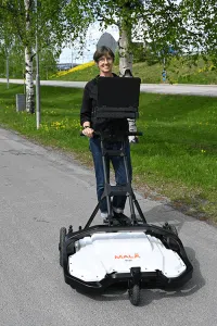
With its optimized multi-channel architecture and lightweight frame, the MIRA Compact can be hand-pushed or towed behind a small vehicle. This ensures high-speed data collection across urban grids, open sites, and tight environments, transforming days of traditional radar profiling into hours of automated, high-precision mapping.

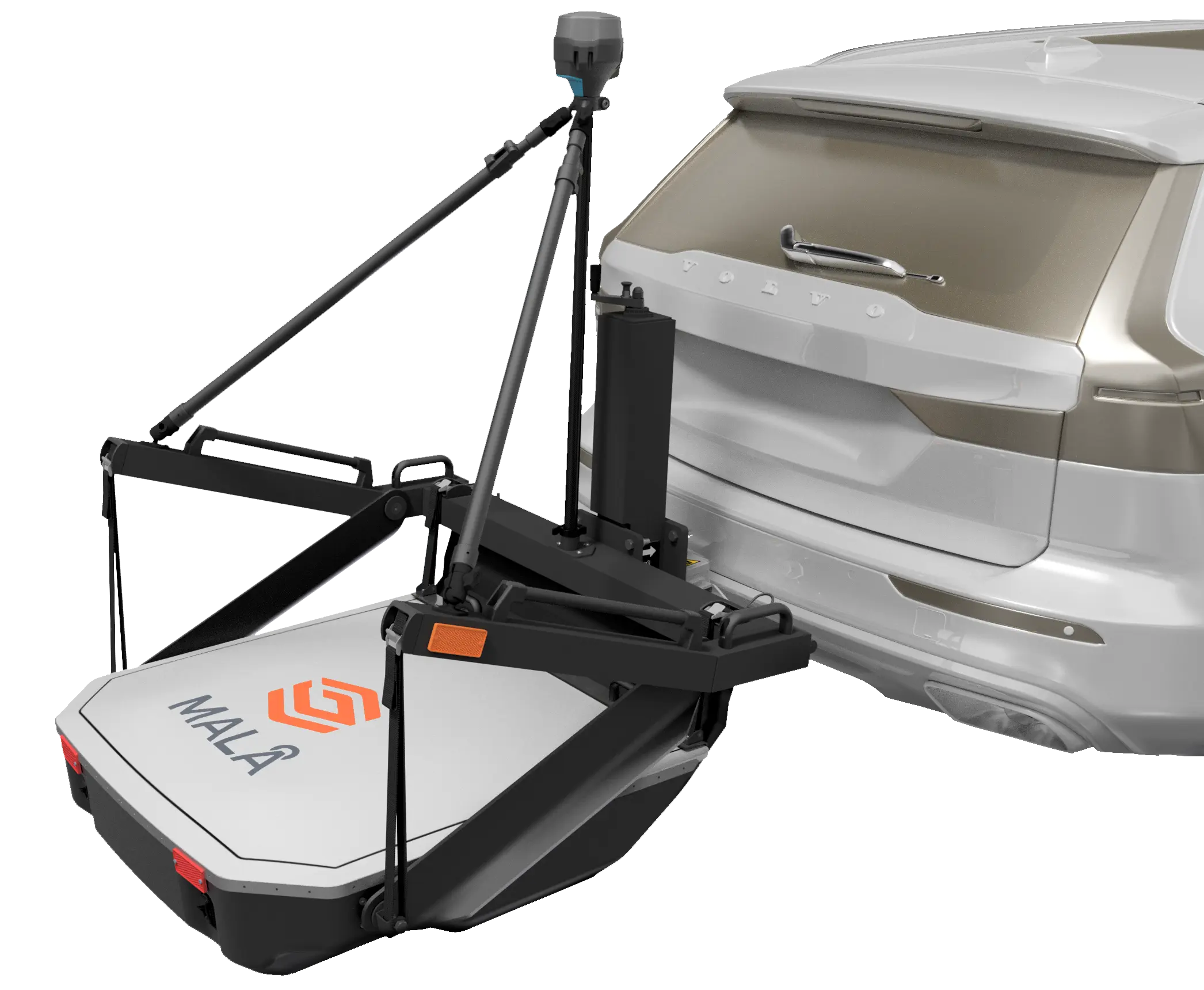
MIRA Compact Tow Hitch Carrier

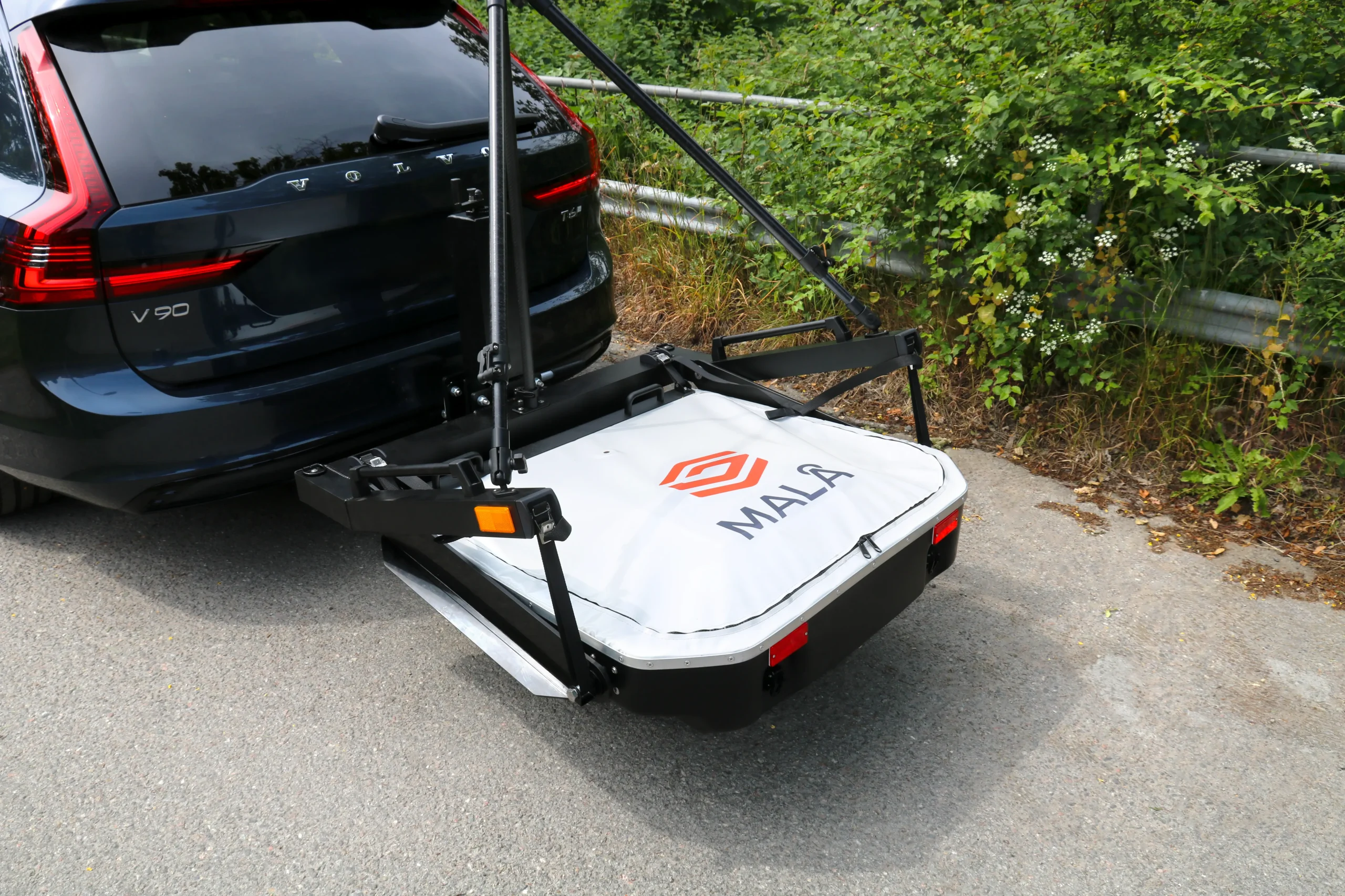
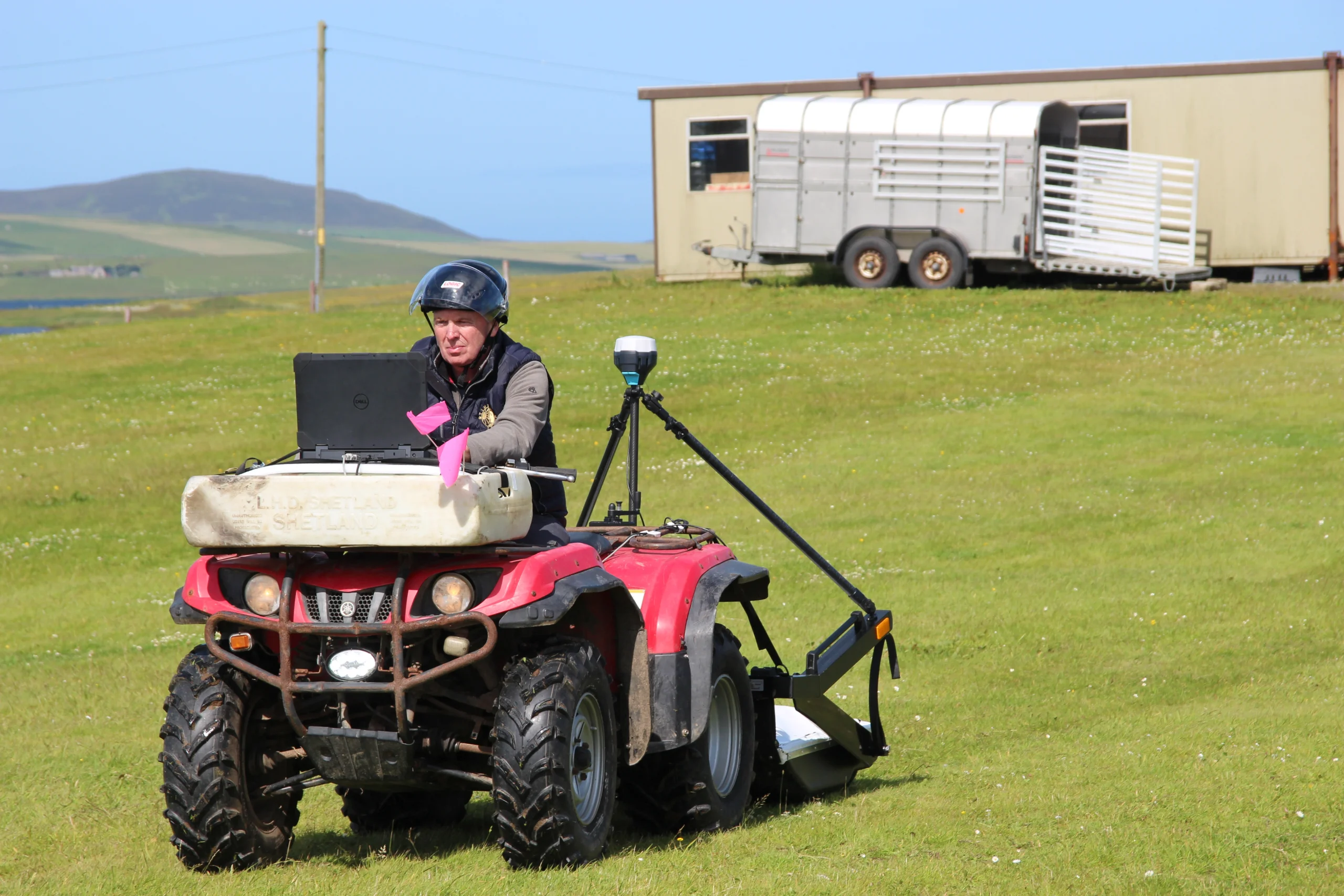
The MIRA Compact Tow Hitch Carrier transforms your trusted MIRA Compact into a powerful motorized survey solution. Designed to mount directly onto the tow ball of cars, pick-up trucks, quad bikes, and ATVs, the MIRA Compact Tow Hitch Carrier lets you cover more ground in less time – from quiet farmlands to busy highways.

The MIRA Compact Tow Hitch Carrier offers three versatile survey modes:

  • Transport Mode – secured for travel to and from the survey site
  • Floating Survey Mode – survey with the antenna in full contact with the ground for unmatched data quality, suitable for farmland and grass areas
  • Fixed Survey Height Mode – keep the antenna at a fixed height above the ground for high-speed surveys over hard surfaces, such as asphalt or gravel

The MIRA Compact Tow Hitch Carrier includes an integrated GNSS pole with sturdy support arms for mounting GNSS antennas or total station prisms, ensuring precise positioning in any environment.

Software: MIRA Controller

Intuitive multi-channel data acquisition and real-time quality control

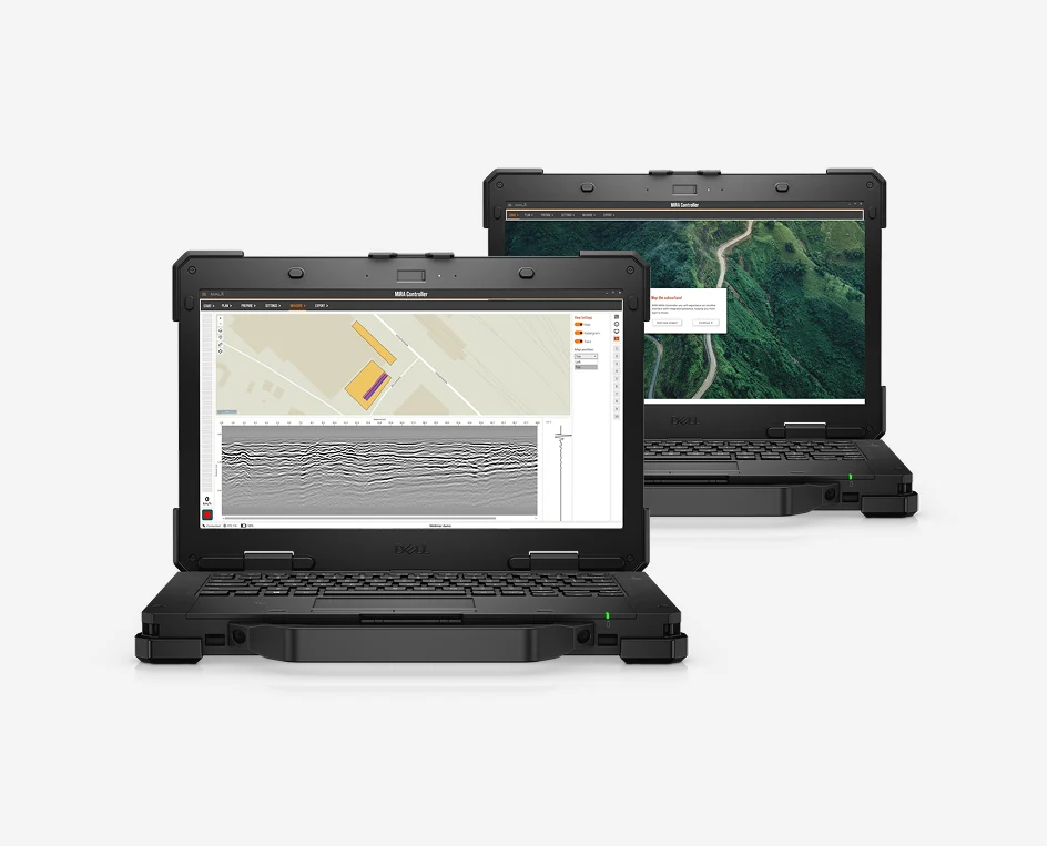
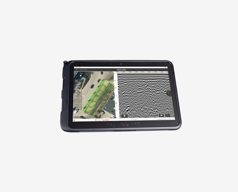
The MALÅ MIRA Controller is the dedicated, high-performance acquisition software designed specifically to govern the complex, high-volume data streams generated by the MIRA Compact 3D GPR array. Optimized for rugged field tablets, it provides a clean, touch-friendly interface that allows operators to easily configure channel parameters, manage grid coordinates, and control the entire multi-antenna array setup with minimal training.

The software excels at real-time Quality Control (QC), offering live data visualization as you navigate the survey area. It provides instant feedback on spatial positioning, channel synchronization, and data density, displaying clear top-view maps and radar profiles. By highlighting potential data gaps or tracking anomalies immediately on-site, the MIRA Controller ensures you leave the field with complete, flawless 3D datasets every single time, completely eliminating the need for costly re-surveys.

Application Area
Features
Resources
  • Subsurface Utility Engineering (SUE): Safely locate, map, and distinguish complex networks of buried pipes, cables, conduits, and fiber optics in high-density urban environments.

  • Archaeology & Cultural Heritage: Scan large historical sites non-destructively to map ancient foundations, tombs, and structural ruins in full 3D detail.

  • Forensics & Law Enforcement: Conduct highly systematic searches over broad areas to locate buried targets, hidden caches, or shallow anomalies without disturbing the terrain.

  • Road & Runway Concrete Inspection: Map concrete reinforcement bars, evaluate void propagation beneath asphalt, and assess airport runway subgrade integrity rapidly.

  • True 3D imaging capabilities that provide full-coverage mapping without missing parallel targets.

  • High Dynamic Range (HDR) architecture for exceptional data sharpness and low noise.

  • Lightweight, modular, and compact design tailored for fast deployment by a single operator.

  • Flexible positioning support accommodating both RTK-GPS and tracking total stations.

  • Fast data acquisition speeds that drastically reduce on-site time and traffic control requirements.

Translate »