MALÅ Easy Locator Core

Home > MALÅ Easy Locator Core

About Products

MALÅ Easy Locator Core

The New Standard for Utility Locating GPR

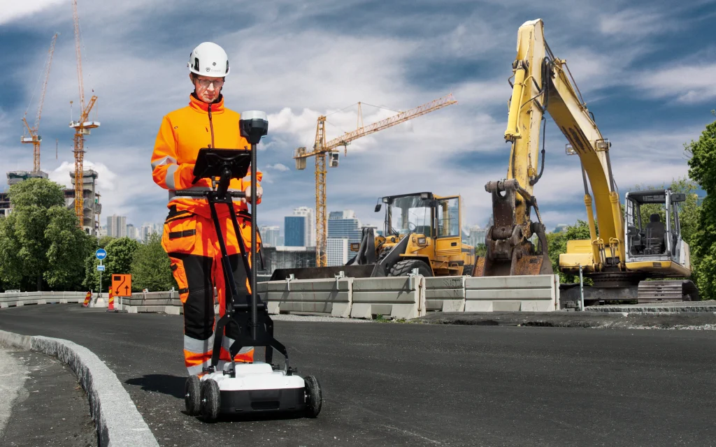
The MALÅ Easy Locator Core (EL Core) is a state-of-the-art Ground Penetrating Radar (GPR) system designed specifically for utility locating professionals. Combining MALÅ’s pioneering High Dynamic Range (HDR) antenna technology with an ultra-lightweight, rugged design and seamless cloud connectivity, the EL Core makes locating buried utilities faster, simpler, and more precise than ever before.
Intelligent Real-Time Interpretation with MALÅ AI

Speed up target identification and reduce field errors with automated GPR analysis

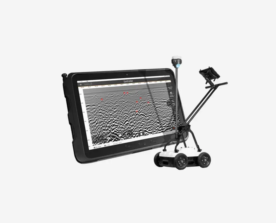
The MALÅ Easy Locator Core leverages advanced machine learning algorithms via the MALÅ Vision platform to deliver automated, real-time interpretation support directly in the field. As you scan the ground, the intelligent software automatically analyzes the subsurface data and highlights hyperbola reflections caused by buried pipes, cables, and conduits.

This intelligent assistance acts as a second pair of eyes on-site. It gives field operators immediate, data-driven validation, drastically reducing the risk of missed utilities, minimizing human error, and ensuring that even less-experienced technicians can interpret complex GPR profiles with total confidence.

Why the MALÅ Easy Locator Core Redefines GPR?

Unmatched Data Quality (HDR Technology)

Powered by MALÅ’s proprietary High Dynamic Range (HDR) technology, the EL Core delivers exceptional data resolution and deep penetration. It easily visualizes targets that traditional GPR systems miss, providing clearer imaging of plastic, concrete, and metallic pipes.

Optimized for the Field

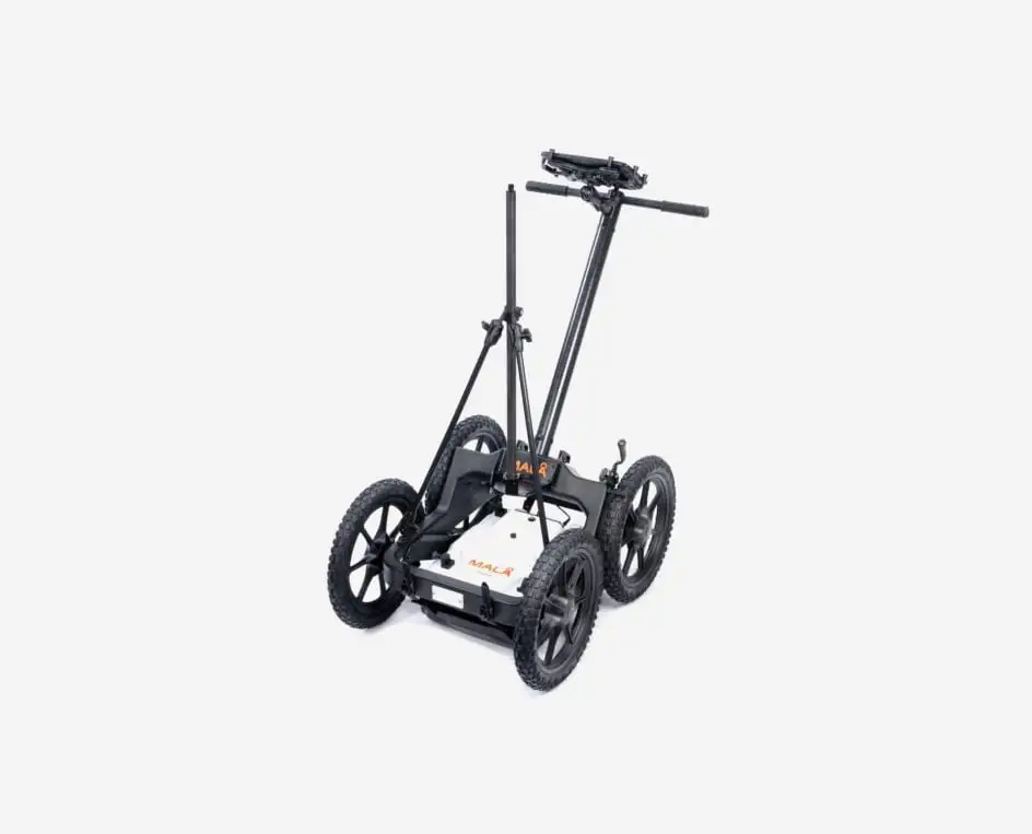
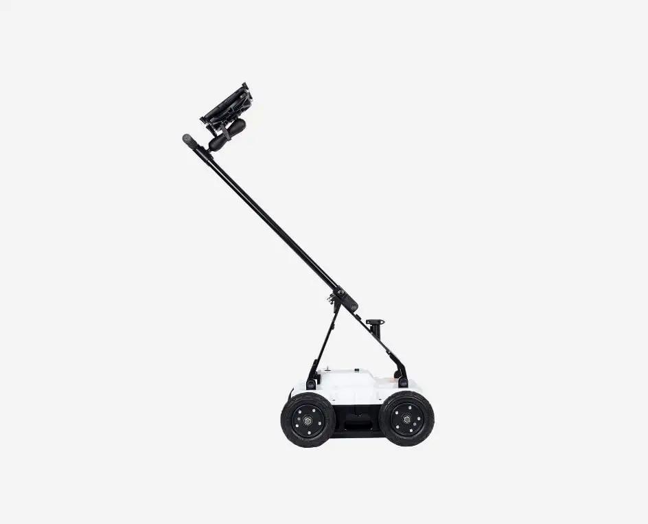
Weighing significantly less than traditional GPR units, the system features a highly compact, foldable design. It can be easily transported in the trunk of a standard car and deployed by a single operator within minutes.

Cloud-Connected via MALÅ Vision

nstantly process and visualize your field data using MALÅ Vision software. With built-in Wi-Fi and cloud integration, you can upload data straight from the field to generate instant, professional, and shareable reports for clients.

Rugged & Built to Last

Designed for the harshest field environments. With an IP65 environmental rating, the EL Core operates flawlessly across extreme terrain, dust, mud, and wet weather conditions.

The MALÅ Controller App & Cloud Integration

Seamless wireless control and instant data synchronization

The MALÅ Easy Locator Core is operated via a user-friendly, intuitive controller application designed to simplify field workflows. Connected wirelessly to the GPR antenna, the app provides a clean, responsive interface that allows operators to configure settings, start scans, and visualize subsurface profiles in real-time on their rugged field tablets.

Beyond hardware control, the application features direct integration with MALÅ Vision cloud software. With an active internet connection or mobile hotspot, your field data is automatically backed up and synced to the cloud. This enables office-based engineers to access, analyze, and report on the data while the field crew is still on-site.


MALÅ Controller App

MALÅ Vision

From field scanning to professional client reports in minutes

MALÅ Vision is a powerful, cloud-based post-processing software designed to handle your GPR data effortlessly. Gone are the days of transferring files via USB and struggling with complex desktop installations. With MALÅ Vision, data collected by the Easy Locator Core is uploaded directly from the field to the cloud, allowing you to instantly visualize, analyze, and interpret your findings on any device with a web browser.

The platform features integrated map views (including Google Earth integration), automated processing filters, and easy-to-use drawing tools to mark buried utilities. Within minutes of completing a survey, you can generate professional, comprehensive PDF reports or export data for CAD/GIS mapping, bridge the gap between field acquisition and office delivery seamlessly.

Application Area
Features
Resources
  • Utility Locating & Mapping : Effectively detect and trace buried infrastructure including metallic and non-metallic pipes, cables, fiber optics, and concrete conduits.
  • Infrastructure & Construction : Rapidly scan excavation sites to identify hidden hazards and avoid costly utility strikes during construction and trenching projects.
  • Environmental & Shallow Geology : Accurately map soil layers, detect underground storage tanks (USTs), and survey shallow stratigraphy over large areas efficiently.
  • MALÅ HDR Technology, unmatched resolution and depth for superior data clarity.
  • Real-time MALÅ AI, instant automated interpretation during data collection.
  • Cloud-Connected Workflow, instant processing and global data sharing via MALÅ Vision.
  • Ultra-Portable Design, world’s most lightweight and foldable professional GPR.
  • Rugged All-Terrain Build, Swedish-engineered durability for the toughest environments.
  • Wireless Acquisition, Full cable-free operation for maximum field mobility.
  • Precision Georeferencing, seamless integration with high-accuracy RTK GNSS.
Translate »