

Precision Deep Groundwater Mapping in Drought Conditions Without ‘Dry Hole’ Risks
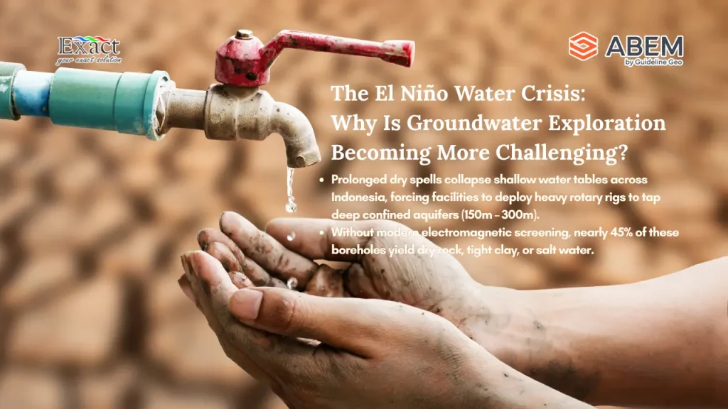
The most accurate solution for deep groundwater exploration during extreme droughts (El Niño) to avoid the risk of dry holes is implementing the “Scout and Detail” workflow. Parched surface soil creates high contact resistance, which causes conventional surveys to fail because electrodes cannot efficiently inject current into the hard ground. To ensure precise drilling site validation, this two-step geophysical survey begins with a rapid scouting phase using the ABEM GroundTEM i-Series, a Transient Electromagnetics (TEM) instrument that scans deep aquifer layers across wide areas without needing to plant metal stakes into the earth. Following this, the detailing phase utilizes the ABEM Terrameter LS 2 directly over the identified anomaly to map 2D/3D geological boundaries, measure aquifer thickness, and clearly differentiate fresh water from impermeable clay beds or saline layers.

