About the Product
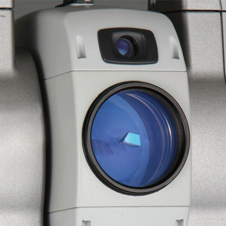
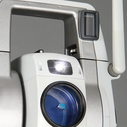
Topcon MS AXII Series
Sub-Second & Sub-Millimeter High-Precision Measuring Station
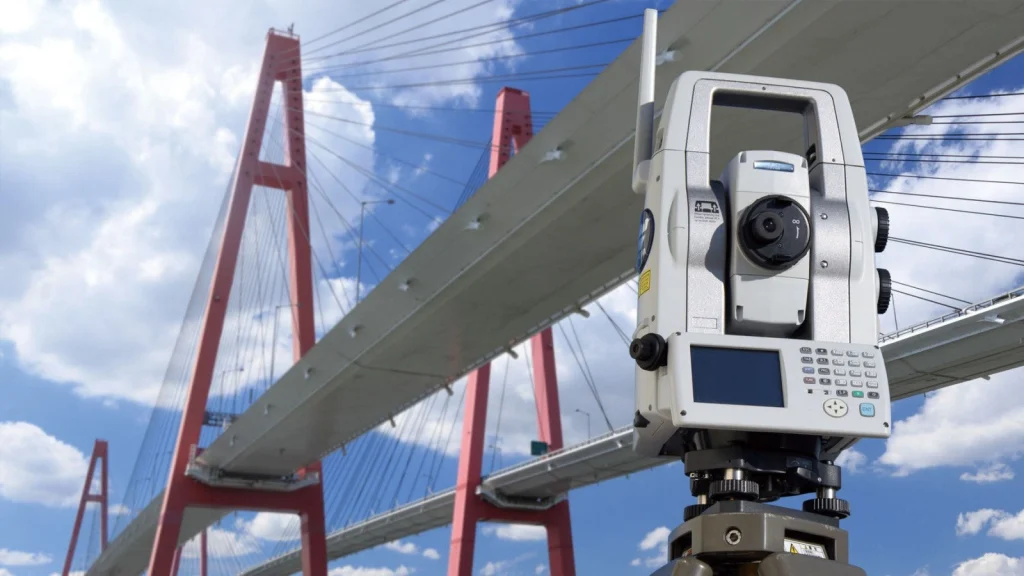
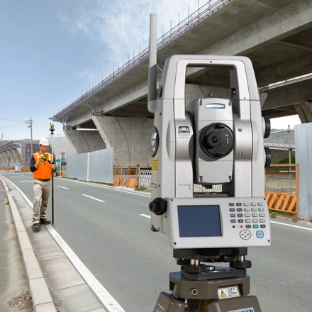
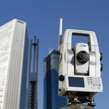
The Topcon MS AXII Series (MS05AXII & MS1AXII) represents the apex of high-precision geodetic spatial measurement. Designed specifically for automated structural deformation monitoring, precision industrial alignment, and high-accuracy civil engineering, the MS AXII combines sub-second angular precision with sub-millimeter distance measurement capabilities.
Equipped with advanced matrix search algorithms, automated target recognition, and IP65 ruggedization, the MS AXII series operates continuously in remote or harsh environments to deliver real-time 3D displacement data for critical infrastructure assets.
Uncompromising Sub-Millimeter Accuracy for Critical Infrastructure Security
Automated real-time tracking for early detection of structural movement
Monitoring critical structures like bridges, dams, high-speed rail lines, and mining slopes demands spatial measurement accuracy far beyond standard robotic total stations. The Topcon MS AXII series delivers up to 0.5-arcsecond angular accuracy and 0.5 mm distance measurement, allowing geodetic engineers to detect micro-scale structural shifts long before they escalate into structural failures.
Featuring intelligent auto-pointing algorithms, the instrument automatically identifies, locks onto, and measures hundreds of target prisms sequentially. This automated tracking loop enables continuous 24/7 monitoring campaigns without requiring manual operator intervention on site.
Advanced Geodetic Technologies for High-Precision Operations
Purpose-built for high-accuracy surveying and automated long-term monitoring campaigns:
Ultra-Precision EDM: Delivers sub-millimeter distance measurement accuracy (0.5 mm + 1 ppm on MS05AXII) across reflective sheet targets and optical prisms.
Matrix Search & Auto-Collimation: Automatically scans pre-defined search areas to locate, re-acquire, and measure displaced target prisms even in total darkness or foggy weather conditions.
Advanced Auto-Pointing & Tracking: High-speed drive system accurately tracks moving targets or re-locks onto static control points with high repeatability.
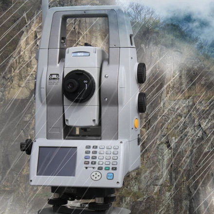
IP65 Industrial Ruggedization: Built to withstand heavy rain, airborne dust, and extreme temperature fluctuations common in mining, tunneling, and outdoor monitoring environments.
End-to-End Automated Monitoring Pipelines
Instantaneous displacement alerts and cloud-based analytics
When paired with Topcon Delta Watch or MAGNET Field software, the MS AXII forms an automated structural monitoring ecosystem. The system schedules automatic measurement cycles, performs 3D network adjustments, and isolates thermal expansion noise from true structural displacement.
Real-time spatial data is transmitted directly to cloud dashboards or site control rooms. If measured displacements breach pre-set safety thresholds, the system triggers automated alerts via email or SMS, giving engineers the immediate insights needed to manage structural risks proactive.