Home > TOPCON LN-160
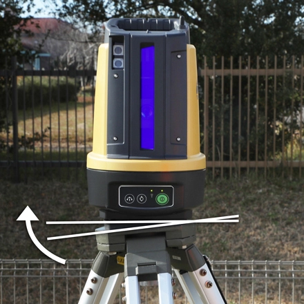
The Topcon LN-160 is a revolutionary 3D layout tool engineered specifically for building construction, MEP (Mechanical, Electrical, Plumbing) installations, and BIM field execution. Combining the simplicity of a self-leveling construction laser with the precise tracking of a robotic total station, the LN-160 transforms complex layout tasks into a fast, one-person workflow.
With one-button self-leveling setup and an impressive 130-meter working radius, the LN-160 allows field crews to position points, verify as-built conditions, and execute CAD/BIM model data with absolute confidence and unmatched speed.
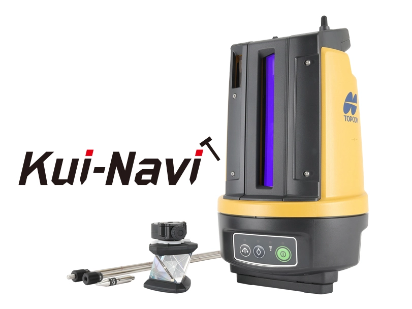
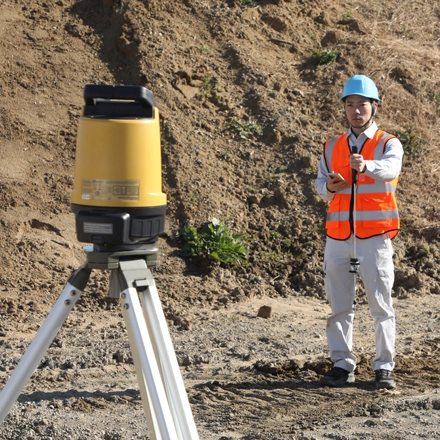
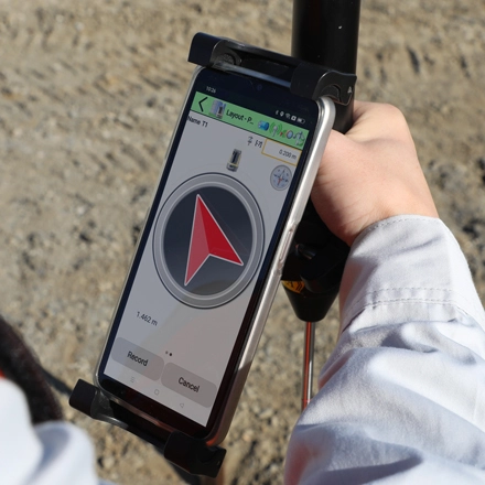
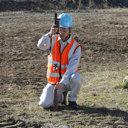
Slash layout time in half with single-operator precision
Traditional layout workflows relying on tape measures, string lines, and two-person crews are slow, labor-intensive, and prone to cumulative human error. The Topcon LN-160 eliminates these bottlenecks by bringing high-precision 3D layout capability directly to the job site. Simply set up the instrument, press the power button, and let it self-level automatically.
Controlled remotely via a field tablet running MAGNET Construct software, a single operator can walk the site, lock onto the active prism, and lay out hundreds of 3D points per day with millimeter accuracy—dramatically reducing labor costs and rework.
Engineered for seamless job-site integration, the LN-160 delivers enterprise-grade positioning performance:
Self-Leveling Simplicity: Automatically self-levels upon powering up, completely removing complex tribrach leveling procedures for field technicians.
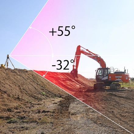
130-Meter Working Radius: Covers a massive 260-meter diameter area from a single setup, ideal for large commercial floor plates and infrastructure footprints.
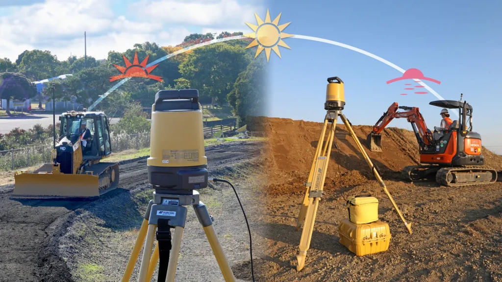
High-Speed Target Tracking: Advanced optical tracking locks onto the 360-degree prism instantly, maintaining continuous spatial position even when obstacles temporarily break the line of sight.
Seamless BIM / CAD Integration: Directly loads 2D drawings and 3D BIM design files from Autodesk Revit, AutoCAD, and MAGNET Enterprise.
MEP & Utility Layout: Mark concrete sleeve locations, pipe hangers, duct drops, and electrical conduits directly on floor decks.
Foundation & Structural Framing: Verify anchor bolt layouts, column footings, foundation walls, and concrete formwork placement.
BIM Field Execution: Transfer 3D Building Information Models (BIM) straight to the site floor for accurate construction compliance.
As-Built Verification: Collect rapid 3D point measurements to verify installed elements against architectural design models.
Self-leveling 3D positioning system designed for easy, single-person operation.
Expansive 130-meter working radius (260m total diameter coverage).
Seamless wireless connection to field tablets running MAGNET Construct software.
Rugged IP65 weather-proof rating built to withstand harsh job-site environments.
Direct cloud connectivity for immediate office-to-field CAD/BIM data exchange.
PT Exact Global Teknologi is an Indonesian provider of geophysical and geospatial equipment, as well as the sole distributor in Indonesia for world-leading products such as Guideline Geo (ABEM and MALA), Geobit, Radiodetection, Mageba, Topcon, Comnav and Xenomatix.
Office : Menara Asia Afrika, Jl. Asia Afrika 133-137, 9th Floor, Bandung City, West Java 40112
Workshop : Jl. Paus Dalam No.41, RT.1/RW.7, Rawamangun, Kec. Pulo Gadung, Kota Jakarta Timur, Daerah Khusus Ibukota Jakarta 13220
Whatsapp : 0812-9252-3900 (WA Only)