One Instrument, Zero Setup Compromises: Layout and Scan Simultaneously
Eliminate separate scanning crews and complex point cloud registration
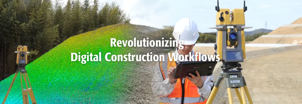
Traditional site verification requires two distinct setups: layout with a total station, followed by a separate laser scanner with target registration. The Topcon GTL-1200 eliminates this redundant process entirely. By performing high-accuracy total station positioning and instant 3D scanning from a single setup location, the point cloud is automatically georeferenced directly in the field coordinate system.
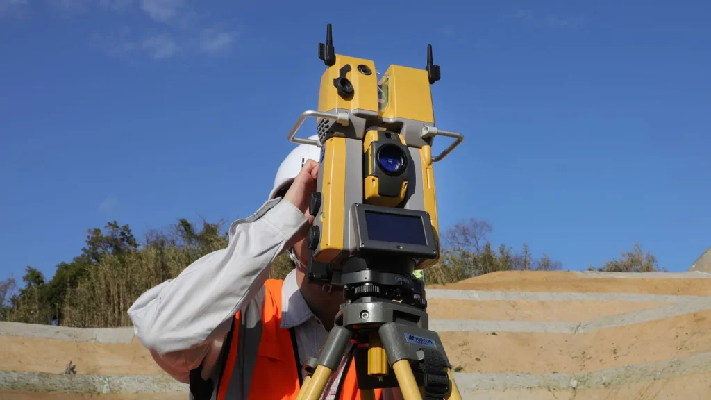
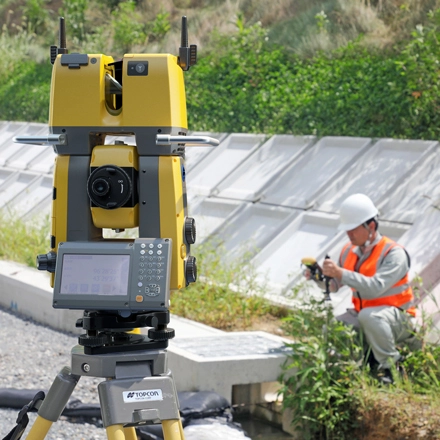
A single operator can stake out design points, push a button to perform a full-dome scan, and compare installed site conditions against 3D design models in minutes. This immediate feedback loop catches structural deviations before they become costly rework.
Built for High-Speed Construction Verification
Engineered to maximize field efficiency, the GTL-1200 delivers enterprise-grade positioning and scanning capabilities:
Ultra-Fast 30-Second Full-Dome Scan: Captures high-density 3D spatial data in seconds, minimizing site downtime and keeping construction progress on schedule.
Direct Georeferenced Point Clouds: Scans are automatically tied to site coordinates via total station occupy/backsight setup—no targets or sphere registration required.
UltraSync Tracking Technology: Advanced optical tracking locks onto prisms quickly, ensuring continuous single-operator stakeout even in busy, obstructed environments.
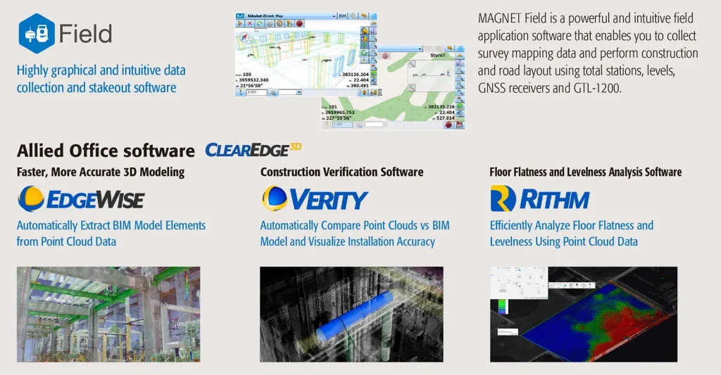
Seamless BIM Verification Pipeline: Directly connects with MAGNET Field, MAGNET Office, and ClearEdge3D Verity software for automated QA/QC comparisons against CAD/BIM models.
Automated Real-Time QA/QC with ClearEdge3D Verity
Identify construction errors as they happen, not weeks later
Pairing the GTL-1200 with Topcon MAGNET software and ClearEdge3D Verity creates an automated quality control engine. The software compares scanned point cloud data directly against Autodesk Revit or Navisworks design models to identify missing, misaligned, or out-of-tolerance elements instantly.
Whether checking structural steel placement, MEP duct installation, or pre-cast concrete alignment, project managers receive color-coded variance reports in real time, allowing site fixes before concrete is poured or trades leave the floor.