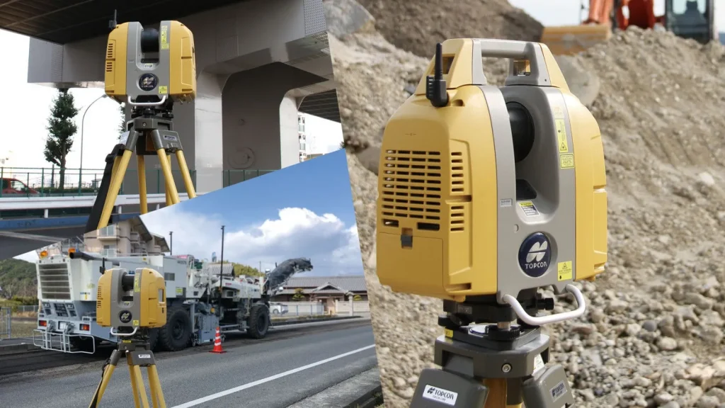
High-Definition 3D Point Clouds Meets HDR Photorealistic Clarity
Versatile multi-range laser scanning built for complex civil and structural environments
Capturing complex physical structures requires a balance of speed, range, and image fidelity. The Topcon GLS-2200 delivers on all fronts with a rapid sampling rate of up to 120,000 points per second. Powered by ultra-precise pulse technology, the scanner captures crisp 3D geometries while suppressing surface signal noise across various reflectivity levels.
Equipped with dual HDR cameras, the GLS-2200 captures high-dynamic-range color imagery even in challenging lighting conditions with extreme shadows or direct sunlight. The resulting point clouds are automatically colorized in true photorealistic RGB, enabling engineers to easily distinguish material boundaries, structural features, and subtle surface anomalies.
Survey-Grade Precision with Intelligent Scan Modes
Engineered for seamless field operations, the GLS-2200 incorporates field-proven surveying features:
Selectable Laser Range Modes: Choose between Close, Short, Medium, and Long range settings to optimize scan speed, point density, and signal power for your specific job-site footprint.
Occupy & Backsight Workflow: Set up directly over known control points using optical or laser plummet. Georeference your scans in real time without relying solely on cloud-to-cloud target registration.
Dual-Axis Tilt Compensation: Integrated dual-axis liquid compensators ensure automatic self-leveling correction, maintaining angular precision across extended scan sessions.
Dual HDR Cameras: High-resolution wide-angle and telephoto digital cameras capture detailed panoramic color textures for complete site context.
Accelerated Point Cloud Processing with MAGNET® Collage
From raw field scans to intelligent 3D BIM models
Transforming massive 3D laser scan datasets into actionable engineering deliverables is effortless with the Topcon MAGNET Collage software platform. The software automatically aligns, registers, and colorizes raw GLS-2200 point cloud files with high-speed processing algorithms.
Field data integrates directly into major CAD and 3D modeling environments including Autodesk Revit, AutoCAD, Bentley MicroStation, and Leica Cyclone formats allowing structural engineers and architects to extract floor plans, cross-sections, and volumetric calculations without data loss.