RADIODETECTION

Home > RD8200 Cable and Pipe Locators

About Product

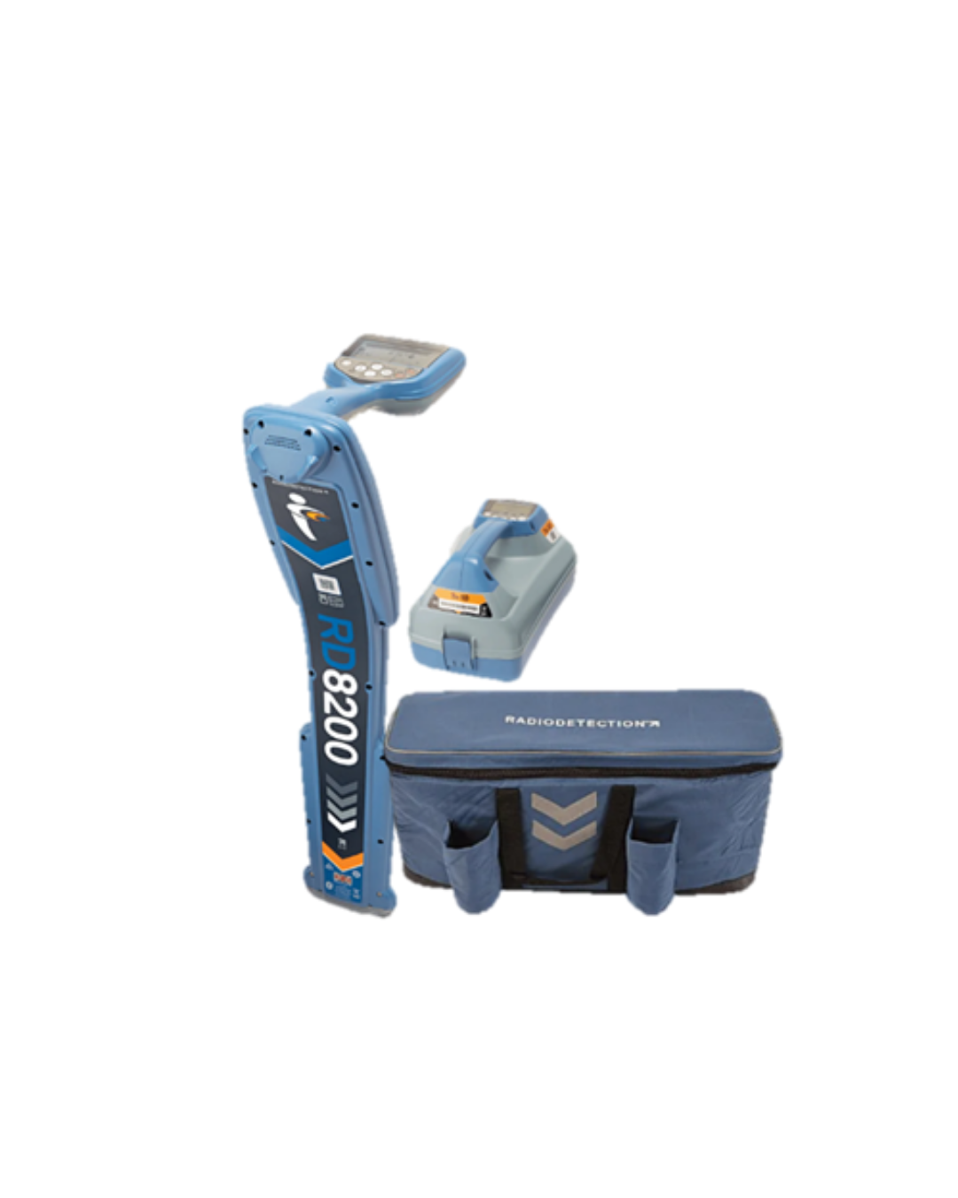
Radiodetection RD8200

Precision Cable and Pipe Locator

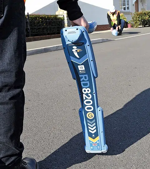
The Radiodetection RD8200 is the pinnacle of precision electromagnetic cable and pipe locators, engineered specifically for utility locators, civil engineers, and damage prevention professionals. Built to excel in dense, highly congested subsurface environments with heavy electromagnetic interference, the RD8200 delivers instantaneous, high-accuracy target verification.

Equipped with advanced features like StrikeAlert™, TruDepth™, and dynamic compass direction orientation, the RD8200 ensures field crews locate buried power, telecom, gas, and water lines faster, safer, and with zero guesswork.

Uncompromising Precision in Congested Utility Corridors

Eliminate signal bleed-over and locate buried utilities with absolute confidence

Modern urban subsurfaces are densely packed with congested utility lines, causing signal distortion and interference that confuse lesser locators. The Radiodetection RD8200 tackles this challenge head-on with custom passive and active frequency management, allowing operators to isolate target lines even when running parallel to high-voltage cables or adjacent metal pipes.

Featuring simultaneous dual-audio outputs and high-contrast display feedback, the system immediately alerts operators to shallow line warnings or changing signal paths. This empowers excavation crews to establish precise utility depths and paths prior to breaking ground.


Industry-Leading Locating Innovation & Safety Features

Engineered with state-of-the-art signal processing, the RD8200 provides unparalleled operational awareness:

  • StrikeAlert™ Safety Warning: Delivers instant visual, audio, and haptic vibration warnings when shallow-buried live cables are detected, protecting excavation crews from hazardous strikes.

  • TruDepth™ Readout: Displays depth and current measurements automatically only when the locator is correctly oriented directly above the target line.

  • Compass Orientation: Provides a dynamic visual compass arrow pointing directly toward the target line’s axis to simplify tracking along winding utility runs.

  • Side-Step™ Technology: Allows operators to tune transmitter frequencies slightly out of step to bypass heavy signal interference from nearby power grids.

Automatic Usage Logging and Compliance Reporting

Complete operational visibility via RD Manager™ Online

Maintaining quality standards and safety compliance across field teams requires reliable data tracking. The RD8200 automatically logs key locator operational metrics—including depth readings, gain levels, locate modes, time, date, and GPS coordinates—every second during field deployment.

Field managers can sync device logs seamlessly with RD Manager™ Online or mobile applications via Bluetooth®. This allows fleet managers to monitor locate quality, verify safety protocol adherence, generate comprehensive site audit reports, and ensure all units are calibrated and operating peak efficiency.

Application Areas
Features
Resources
    • Subsurface Utility Engineering (SUE): Accurately trace, depth-verify, and map buried pipes, cables, conduits, and fiber optic marker lines.

    • Excavation & Damage Prevention: Perform pre-excavation clearance sweeps to prevent costly utility strikes and safety hazards during trenching or directional drilling.

    • Power & Telecom Network Maintenance: Trace energized high-voltage power lines and complex telecommunication bundles in dense urban centers.

    • Gas & Water Distribution: Trace metallic pipes, tracer wires on non-metallic PVC/PE conduits, and cathodic protection systems.

  • Simultaneous guidance mode and compass orientation for fast target tracking.

  • StrikeAlert™ visual, audible, and haptic handle vibration warnings for shallow utilities.

  • Automatic usage logging capturing 1-second interval operational data for quality audits.

  • Rugged IP65-rated weatherproof housing engineered for extreme job-site conditions.

  • Seamless Bluetooth® pairing with GNSS/GPS receivers for GIS mapping workflows.

Translate »