Contact Us Contact us

Products

Geophysical instruments from ABEM and MALÅ, available to buy or rent with local training and support.

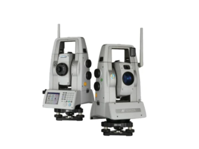
Only For Demo!!! TOPCON MSA1AXII

Only For Demo!!! TOPCON MSA1AXII

Topcon MS AXII Series Sub-Second & Sub-Millimeter High-Precision Measuring Station The Topcon MS AXII Series (MS05AXII & MS1AXII) represents the apex of high-precision geodetic spatial measurement. Designed specifically for automated structural deformation monitoring, precision industrial alignment, and high-accuracy civil engineering, the MS AXII combines sub-second angular precision with sub-millimeter distance measurement capabilities. Equipped with advanced […]

Sub-second angular precision (0.5" or 1" model options) for high-accuracy geodetic networks.
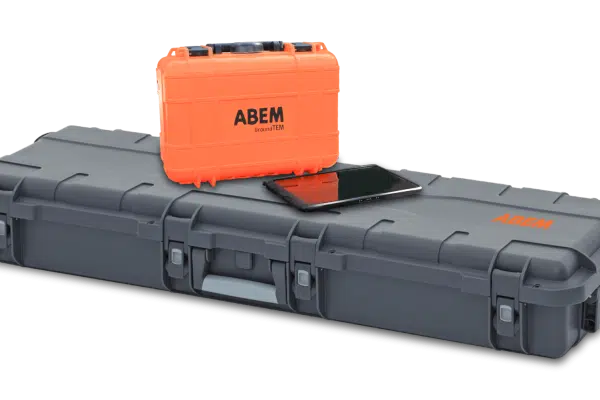
Newest ABEM!!! GroundTEM-i10

Newest ABEM!!! GroundTEM-i10

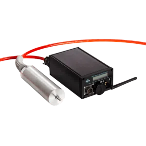
ABEM GroundTEM i10 The ABEM GroundTEM i10 is a game-changing solution for groundwater and environmental surveys. Designed to be more accessible and faster to deploy than traditional TEM systems, the i10 combines high performance with a lightweight, user-friendly design controlled entirely via an intuitive Android App. Despite its compact size, the i10 packs a powerful […]

ABEM Terrameter LS2 12 Channel/81 Electrode

ABEM Terrameter LS2 12 Channel/81 Electrode

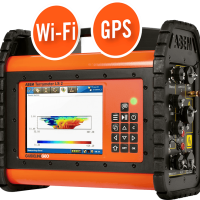
ABEM TERRAMETER LS2 The ABEM Terrameter LS 2 is a world-leading data acquisition system for Electrical Resistivity Tomography (ERT) and Induced Polarization (IP) surveys. We offer the Advanced 12-Channel configuration , which allows for significantly faster data collection compared to standard models. This rental unit is capable of handling complex field setups with up to […]

GEObit Sensor and Digitizer (Seismic and Accelerometer)

GEObit Sensor and Digitizer (Seismic and Accelerometer)

GEObit instruments GEObit’s involvement in the field of geophysical and seismological instruments began in the early 2000s , starting as an instrument designer and providing field support for microseismic monitoring companies. With decades of expertise, Geobit now manufactures high-fidelity seismic sensors and digitizers renowned for their low noise and high dynamic range. These instruments are […]

Newest GPR from MALÅ!!! MALÅ MIRA 3D Compact

Newest GPR from MALÅ!!! MALÅ MIRA 3D Compact

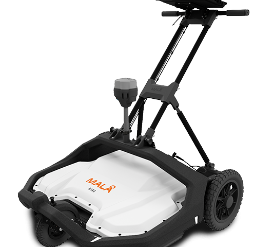
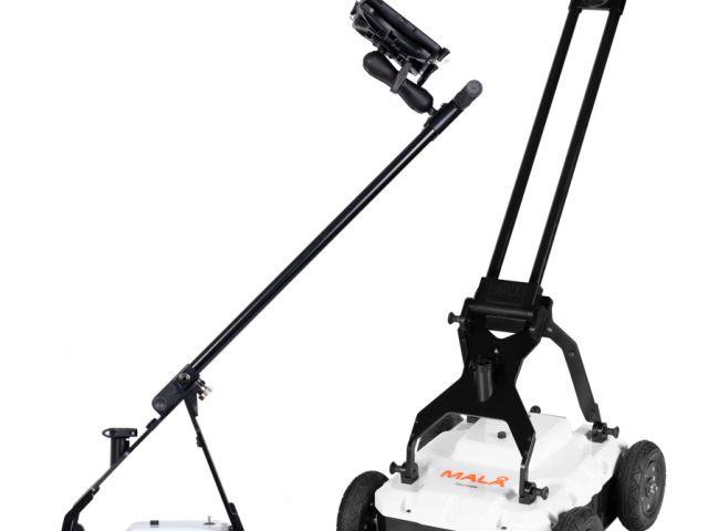
MALÅ MIRA Compact High-Resolution 3D GPR Array Solution The MALÅ MIRA Compact is a ground-breaking 3D GPR (Ground Penetrating Radar) array system engineered for rapid, high-density subsurface mapping. Designed to bridge the gap between single-channel profiling and large-scale vehicle-towed operations, this compact array delivers true 3D data acquisition in a single pass. Built on MALÅ’s […]

True 3D imaging capabilities that provide full-coverage mapping without missing parallel targets.
MALÅ GroundExplorer (GX) 450MHz dan 160MHz

MALÅ GroundExplorer (GX) 450MHz dan 160MHz

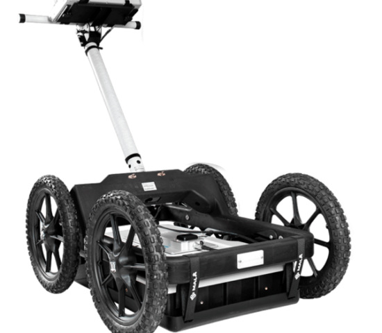
MALÅ GroundExplorer HDR The MALÅ GroundExplorer is an easy-to-use and field-proven Ground Penetrating Radar (GPR) system designed for a wide range of subsurface investigation applications. It enables reliable data acquisition for utility detection, infrastructure surveys, and non-destructive ground investigations. The system features antennas with integrated DGPS for positioning and supports external GNSS RTK GPS solutions […]

MALÅ Easy Locator Core [450 MHz Antenna]

MALÅ Easy Locator Core [450 MHz Antenna]

GPR MALA Easy Locator Core – Rental MALÅ Easy Locator Core is a modern Ground Penetrating Radar (GPR) system specifically developed for underground utility detection and subsurface mapping. Supported by MALÅ AI for real-time interpretation assistance , this system enables faster, more accurate, and non-destructive detection of buried utilities in the field. The equipment is available […]

XenomatiX

XenomatiX

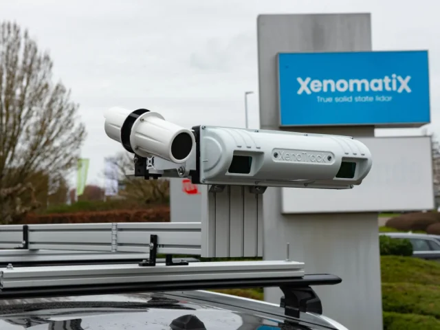
Xenomatix XenoTrack True Solid-State Road Profiling LiDAR The Xenomatix XenoTrack is a revolutionary true solid-state 3D LiDAR system engineered specifically for high-precision road surface profiling, pavement quality inspection, and autonomous vehicle ADAS testing. Unlike traditional mechanical scanners with spinning mirrors, XenoTrack utilizes semiconductor solid-state optics to deliver immune-to-vibration, millimeter-scale 3D surface geometry. Seamlessly mounted on […]

True solid-state LiDAR engine featuring zero moving components for long-term calibration stability.
SV600 Unmanned Surface Vessel

SV600 Unmanned Surface Vessel

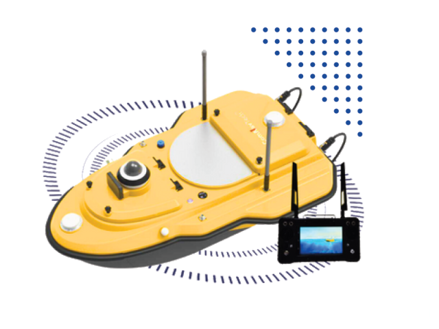
An autonomous hydrographic survey boat designed for safe, high-efficiency bathymetric mapping in rivers, lakes, reservoirs, and coastal waters.

Fully autonomous hydrographic survey boat powered by SinoGNSS® high-precision RTK positioning.
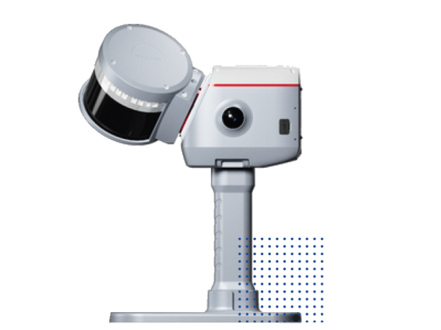
LS600 Laser Scanner

LS600 Laser Scanner

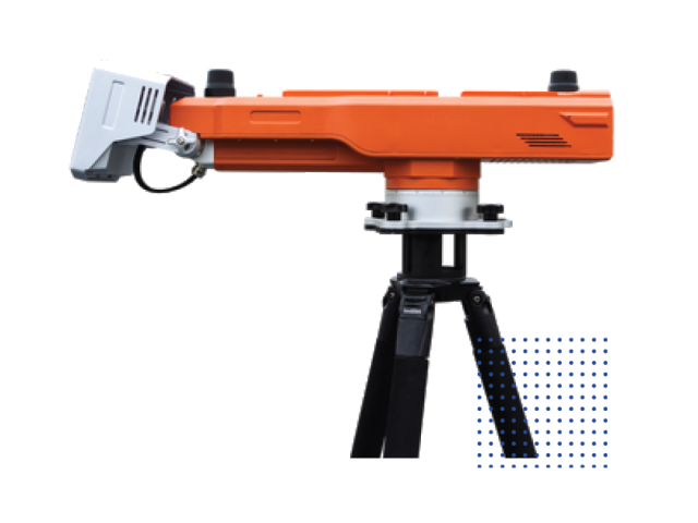
A high-speed, survey-grade 3D laser scanner built for capturing dense photorealistic point clouds across complex infrastructure and architectural sites.

High-speed pulse 3D laser scanner delivers dense, low-noise point cloud data.
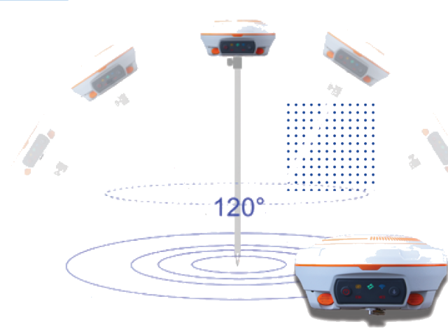
N3 IMU GNSS Receiver

N3 IMU GNSS Receiver

An ultra-compact, high-precision GNSS RTK receiver engineered for high-efficiency land surveying and GIS mapping in challenging environments.

Self-leveling 3D positioning system designed for easy, single-person operation.