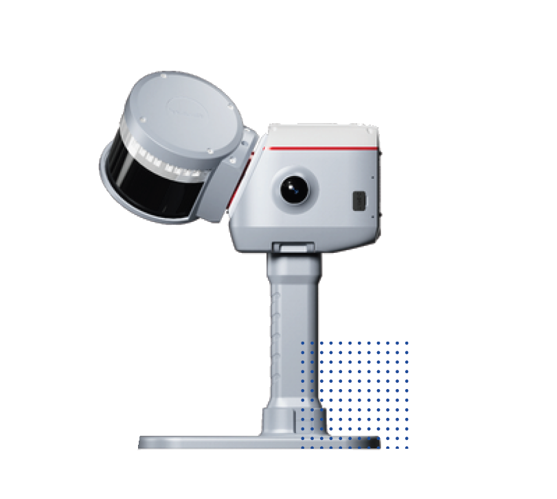
LS600 Laser Scanner
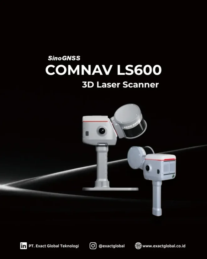
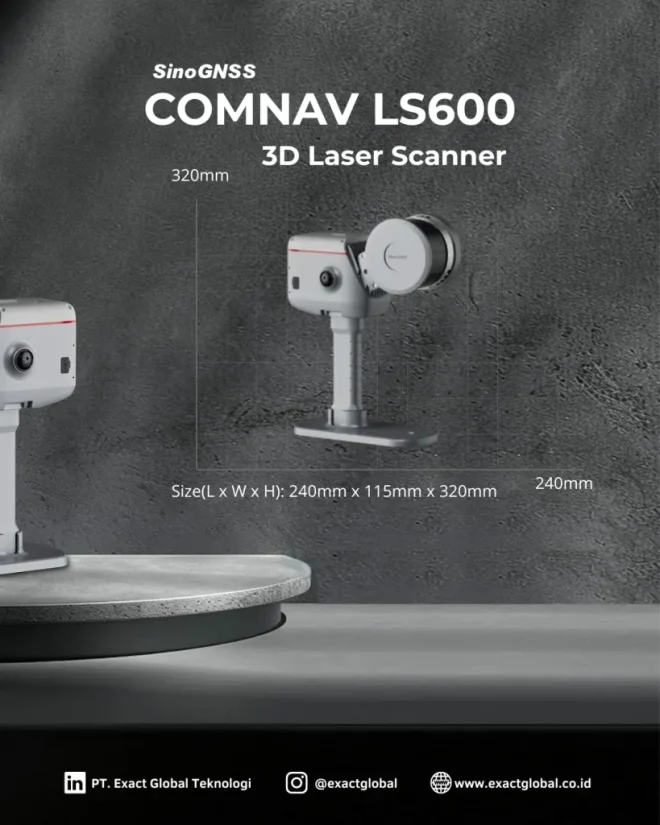
A high-speed, survey-grade 3D laser scanner built for capturing dense photorealistic point clouds across complex infrastructure and architectural sites.
Available to buy or rent. Training and local support included.
Product details
- High-speed pulse 3D laser scanner delivers dense, low-noise point cloud data.
- Integrated high-resolution camera for automatic photorealistic point cloud colorization.
- Dual-axis tilt compensation for automatic self-leveling and georeference tracking.
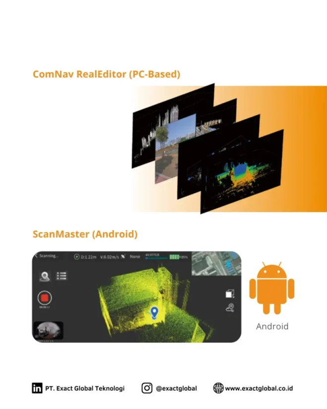
- Standardized file export formats compatible with Revit, AutoCAD, QGIS, and point cloud registration tools.
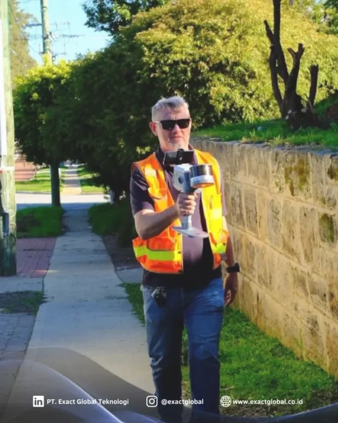
- Rugged IP-rated weather-resistant housing built for demanding outdoor and field conditions.
Precision Agriculture & Agro-Forestry
3D crop canopy architecture modeling, biomass estimation, Leaf Area Index (LAI) tracking, and timber volume audits for commercial plantations and orchard management.
Agricultural Land Grading & Drainage Design
High-accuracy Digital Terrain Model (DTM) extraction for micro-topography analysis, contour farming, soil erosion tracking, and smart irrigation network planning.
Farm Facility & Agro-Infrastructure BIM
Capture high-precision 3D digital twins of processing plants, grain silos, greenhouse structures, and irrigation channels for facility maintenance and expansion.
As-Built Architecture & BIM
Capture detailed indoor and outdoor building dimensions for MEP coordination, structural analysis, and renovation design.
Civil Infrastructure Inspection
Scan bridges, tunnels, roadways, and retaining walls to track structural deformation and surface wear over time.
Volumetric & Stockpile Audits
Measure open-pit mine faces, aggregate stockpiles, fertilizer reserves, and bulk agricultural storage volumes with sub-centimeter volumetric precision.
Heritage Preservation & Archaeology
Create high-resolution digital archives and 3D models of historic monuments, rural heritage sites, and archaeological excavations.