ComnavTech
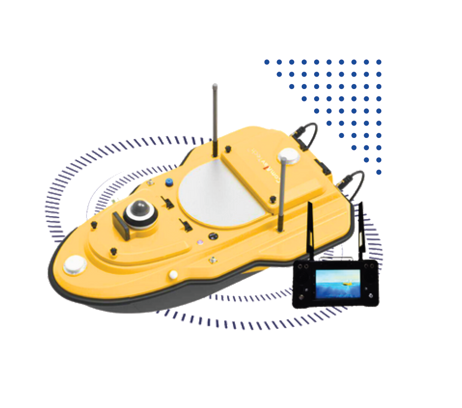
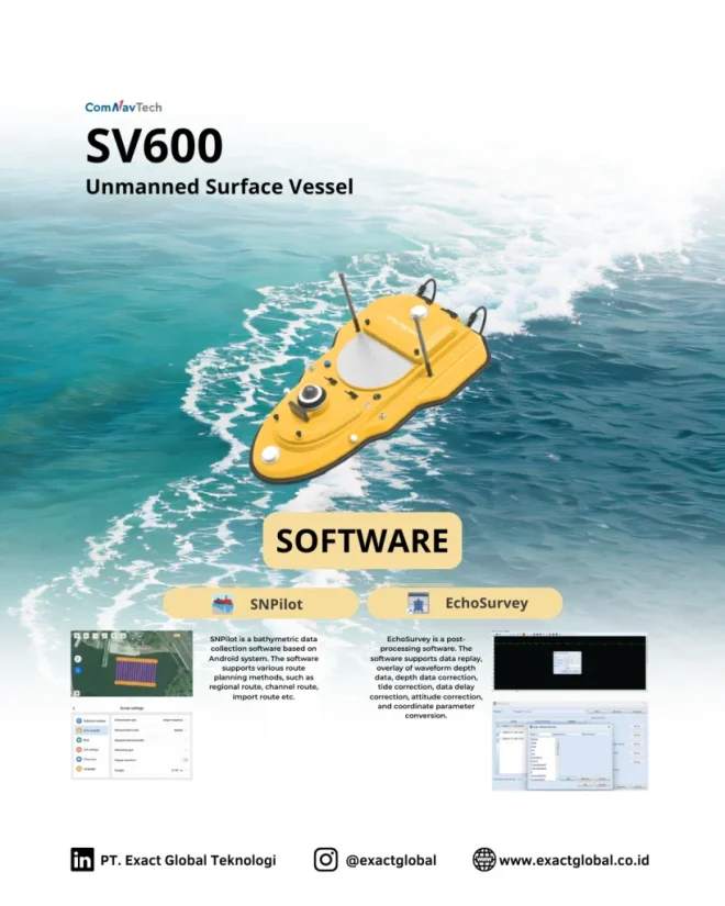
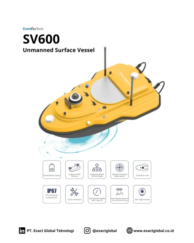
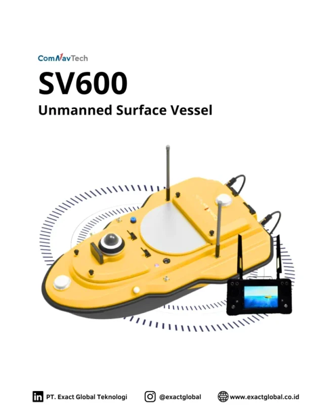
SV600 Unmanned Surface Vessel
An autonomous hydrographic survey boat designed for safe, high-efficiency bathymetric mapping in rivers, lakes, reservoirs, and coastal waters.
Available to buy or rent. Training and local support included.
Product details
- Fully autonomous hydrographic survey boat powered by SinoGNSS® high-precision RTK positioning.
- Ultra-lightweight carbon-fiber hull designed for easy single-person transport and field deployment.
- Dual brushless thrusters with anti-weed protection for shallow and debris-heavy waters.
- Modular payload bay supports single-beam, multi-beam, ADCP, and water quality sensors.
- Integrated fail-safe safety protocols including automatic Return-to-Home (RTH) on signal loss or low battery.
Riverbed & Canal Bathymetry
Map underwater river cross-sections, siltation levels, and navigable channel depths for water resources management.
Reservoir & Lake Capacity Audits
Calculate accurate water storage volumes and track sedimentation buildup in municipal and hydroelectric reservoirs.
Tailings Pond & Industrial Monitoring
Perform safe bathymetric mapping in toxic, acidic, or hazardous mining tailings ponds without putting human crews at risk.
Port & Harbor Dredging Verification
Conduct pre- and post-dredging surveys to calculate dredged material volume and verify fairway navigation clearances.