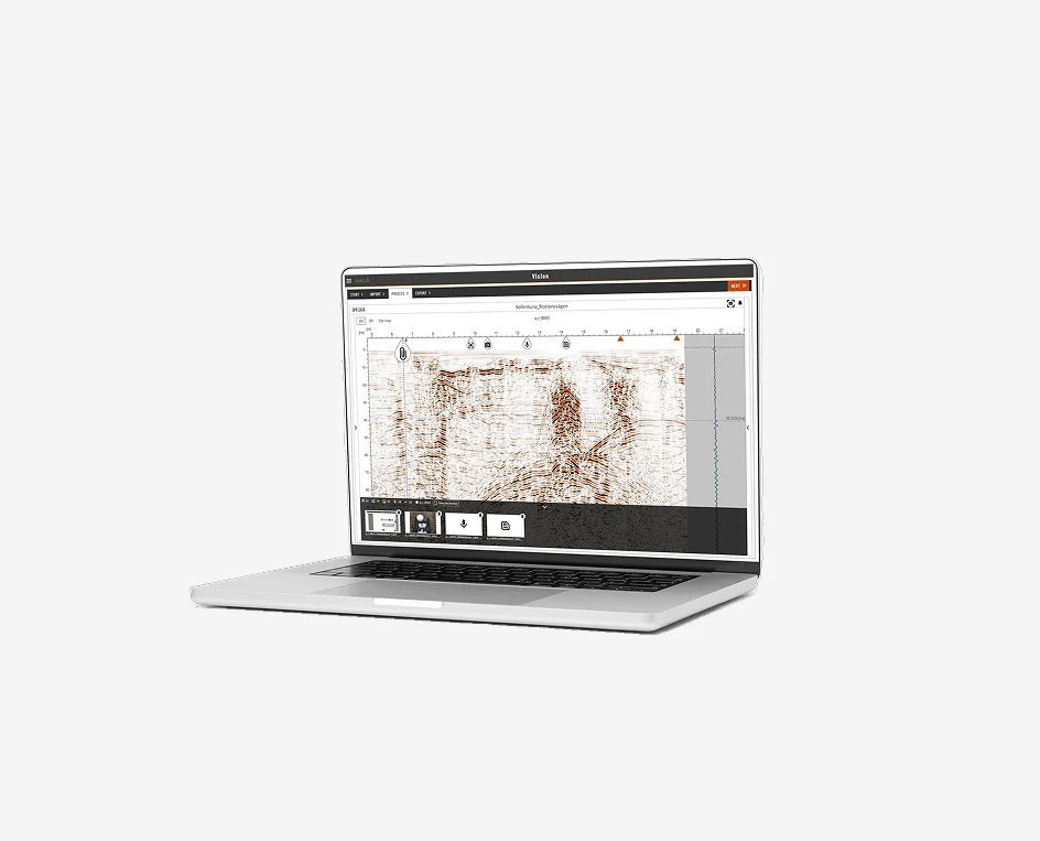
MALÅ Vision
Intelligent GPR processing and analysis software on any device
Available to buy or rent. Training and local support included.
Product details
Product Overview
Guideline Geo MALÅ Vision – Next-Generation Web & Desktop GPR Processing Platform
From single-line utility sweeps to massive 3D array datasets: effortless interpretation, AI automation, and client-ready reporting
Product Description:
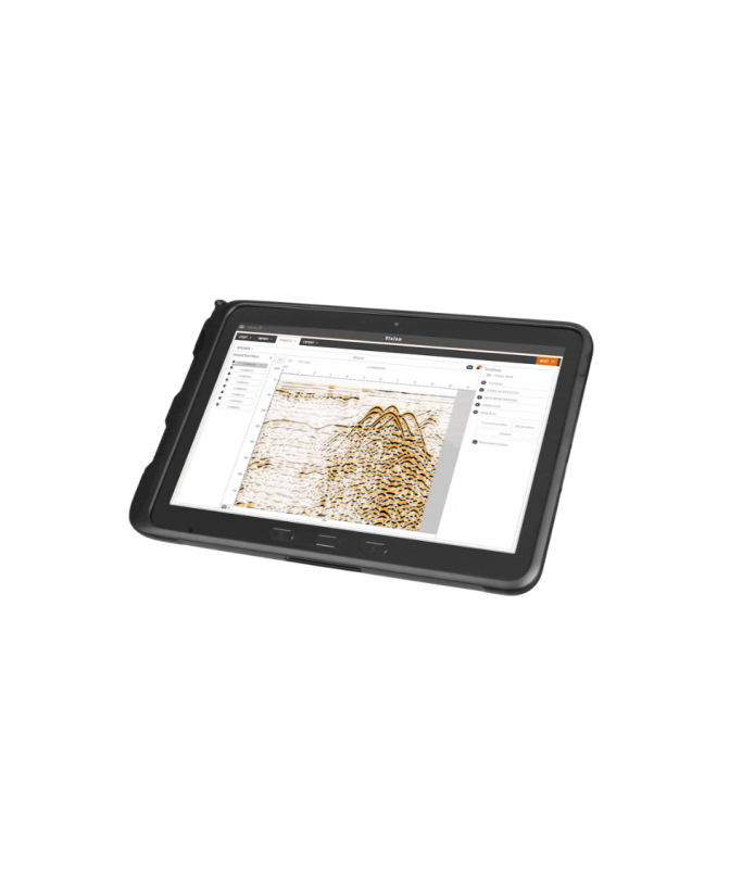
Guideline Geo MALÅ Vision is an intuitive, scalable Ground Penetrating Radar (GPR) processing and visualization platform designed to handle the full spectrum of subsurface investigation data. Evolving beyond legacy workstation tools that rely on physical USB dongles and cumbersome installations, MALÅ Vision is deployed in two tailored environments: MALÅ Vision Web for agile, cloud-based field collaboration, and MALÅ Vision Desktop for high-volume, offline 3D array data processing.
Engineered to support the entire MALÅ GPR ecosystem—including the Easy Locator series, GroundExplorer (GX), GeoDrone, and multi-channel MIRA / MIRA 3D systems—as well as third-party datasets (GSSI and ImpulseRadar), MALÅ Vision transforms raw radargrams into clear subsurface intelligence. Powered by integrated MALÅ AI pattern detection, automated velocity calibration, and real-time GIS basemap synchronization, the platform enables geophysicists, utility locators, and civil engineers to deliver validated 3D depth slices, CAD linework, and certified reports in minutes.
Software Editions & Licensing Tiers
1. MALÅ Vision Web (Cloud-Native Platform)
Built on the Microsoft Azure cloud architecture (99.995% uptime), the web version provides zero-install, browser-based processing accessible from any connected PC, Mac, or tablet.
- MALÅ Vision Community (Free Tier):
-
- Designed for basic project visualization and small-scale field validation.
- Includes full standard processing tools, 2D/3D visualization, and manual marker tools.
- Storage capacity limited to 50 MB of imported data.
- MALÅ Vision Premium (Professional Subscription):
-
- Designed for commercial utility locators, geotechnical firms, and SUE consultants.
- Unlocks 300 GB of secure cloud storage, continuous software updates, and advanced reporting.
- Full access to automated MALÅ AI target interpretation, automated depth slicing, and CAD/GIS vector export.
- Includes dual-license activation for MALÅ Vision Desktop.
2. MALÅ Vision Desktop (Offline 3D Array Processing)
A standalone, high-performance Windows application optimized for multi-channel GPR systems and massive spatial datasets.
- Optimized for 3D Arrays & Big Data: Engineered specifically to process dense data volumes from MALÅ MIRA, MIRA Compact, and MIRA 3D arrays without waiting for large cloud file uploads.
- 100% Offline Capability: Runs locally utilizing computer CPU/GPU and local storage drives—ideal for high-security facilities, mining concessions, and remote field camps with limited or no internet access.
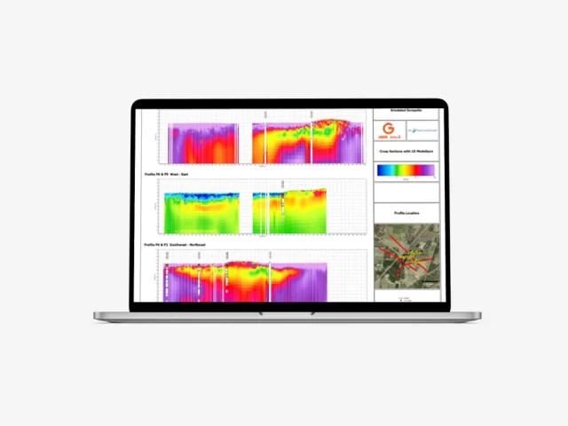
- Proprietary 3D Interpolation: Advanced interpolation algorithms that produce sharp volumetric models, dynamic slicing (PondView, TopoView, TrenchView), and automated ground surface flattening.
- Cloud-Native Web Architecture: Access projects, process raw profiles, and generate reports from any modern web browser (Google Chrome, Microsoft Edge, Safari) on PC, Mac, or tablet without manual software installations or physical license dongles.
- AI-Assisted Target & Hyperbola Detection: Uses machine-learning algorithms to identify parabolic reflection signatures automatically, significantly accelerating the identification of buried pipes, cables, conduits, and underground anomalies across large grid surveys.
- Automated Velocity Calibration: Built-in fitting routines calculate soil dielectric permittivity and propagation velocity automatically, ensuring accurate depth estimation across variable ground materials.
- Interactive 3D Depth Slicing & Tomography: Interpolates multi-profile grid data into dynamic 2D horizontal depth slices and 3D subsurface volumes, allowing users to peel through depth layers to reveal intricate utility networks and structural foundations.
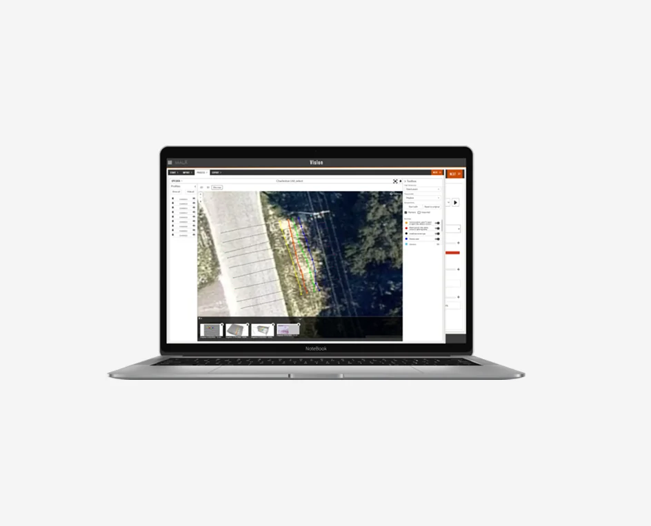
- Integrated Web-GIS & Basemap Overlays: Georeferences GPR profiles, depth slices, and interpreted utility lines automatically onto satellite imagery, Google Maps, or OpenStreetMap layers to provide immediate real-world spatial context.
- Seamless Field-to-Cloud Synchronization: Uploads survey datasets directly from compatible MALÅ acquisition units in the field via Wi-Fi or cellular connections, enabling office analysts to begin processing before field crews leave the site.
- Instant Multi-Format CAD/GIS Export: Exports marked targets, pipe alignments, and depth layers directly into industry-standard design formats—including AutoCAD DXF, Esri Shapefile (SHP), Google Earth (KMZ), and comprehensive PDF executive reports.
- Centralized Project Management & Team Collaboration: Centralizes survey archives in secure cloud storage, enabling multi-user access control, collaborative target picking, and instant project sharing with clients and stakeholders.