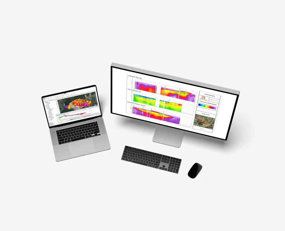
ABEM AGS Software | Aarhus GeoSoftware Geophysical Inversion
Available to buy or rent. Training and local support included.
Product details
ABEM AGS Software (Aarhus GeoSoftware) – Advanced Processing, Modeling, and Inversion Suite
Turn complex electrical and electromagnetic geophysical datasets into hydrogeological and geotechnical insight
Product Description:
ABEM AGS Software (developed by Aarhus GeoSoftware, a Guideline Geo company) is the global benchmark software suite for processing, inverting, and visualizing ground-based and airborne geophysical data. Built upon decades of geoscientific research with Aarhus University, the AGS platform delivers industry-standard workflows for Transient Electromagnetic (TEM), Electrical Resistivity Tomography (ERT), and Induced Polarization (IP) methods.
Engineered to integrate with ABEM WalkTEM 2 and ABEM Terrameter LS 2 instrumentation, AGS Software bridges field data collection and geological reporting. Whether running rapid 1D soundings via Aarhus SPIA, full-scale 2D/3D ERT inversions via Res2DInv / Res3DInv, or multi-profile survey management in Aarhus Workbench, the software empowers geophysicists, hydrogeologists, and geotechnical engineers to resolve deep aquifers, delineate mineral bodies, map bedrock interfaces, and monitor contamination plumes with mathematical fidelity.
- Seamless ABEM Instrument Compatibility: Direct import of raw survey files from ABEM WalkTEM, WalkTEM 2, and Terrameter LS 2 systems without manual format conversion or data re-indexing.
- Aarhus SPIA (Fast 1D TEM & DC Inversion): Dedicated 1D processing interface designed for rapid quality checks and inversion of individual TEM and DC resistivity soundings, supporting both smooth (multi-layer) and sharp (few-layer) models.
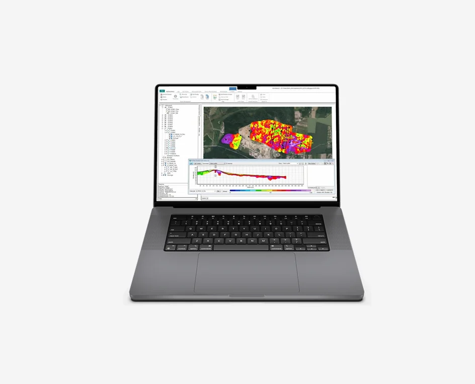
- Aarhus Workbench Multi-Method Environment: A comprehensive platform that combines processing, inversion, and spatial visualization for TEM, ERT, IP, and airborne EM data within a unified project workspace.
- Advanced Constrained Inversions (SCI & LCI): Employs Spatially Constrained Inversion (SCI) and Laterally Constrained Inversion (LCI) algorithms to tie adjacent soundings together along flight lines or ground profiles, producing continuous, geologically realistic 2D and pseudo-3D subsurface sections.
- Res2DInv & Res3DInv Integration: Industry-standard inversion engines for 2D and 3D resistivity and IP data, featuring robust L1 and L2 norm optimization, topography incorporation, and complex electrode geometry management.
- Interactive Data Quality Control (QC): Visual inspection of decay curves, apparent resistivity pseudo-sections, and time-gate values with automated filtering tools to eliminate cultural noise, powerline coupling, and spurious data points.
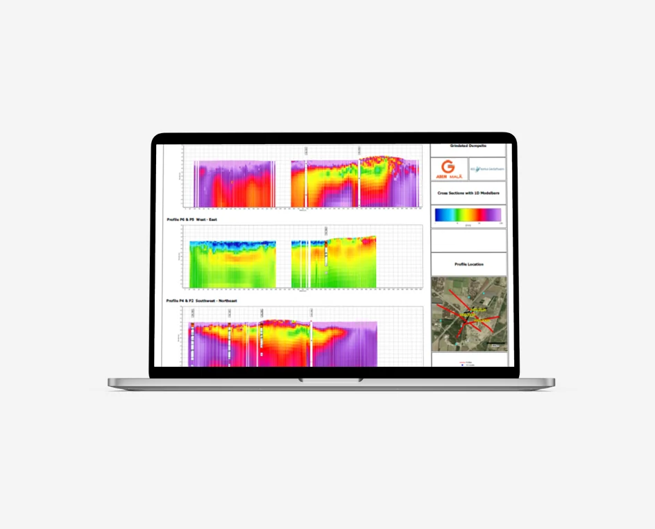
- Integrated GIS Mapping & Profile Visualization: Built-in GIS engine overlays survey lines, borehole lithology, and sounding stations directly over digital terrain models, satellite imagery, or custom base maps.
- High-Resolution 3D Models & Interoperability: Generates depth slices, fence diagrams, and 3D voxel grids with direct export to standard formats (XYZ, CSV, VTK, GeoTIFF) for import into Leapfrog, Voxler, ArcGIS, QGIS, and CAD software.