Big Performance in a Palm-Sized Form Factor
Eliminate field fatigue with ultra-lightweight, calibration-free RTK surveying
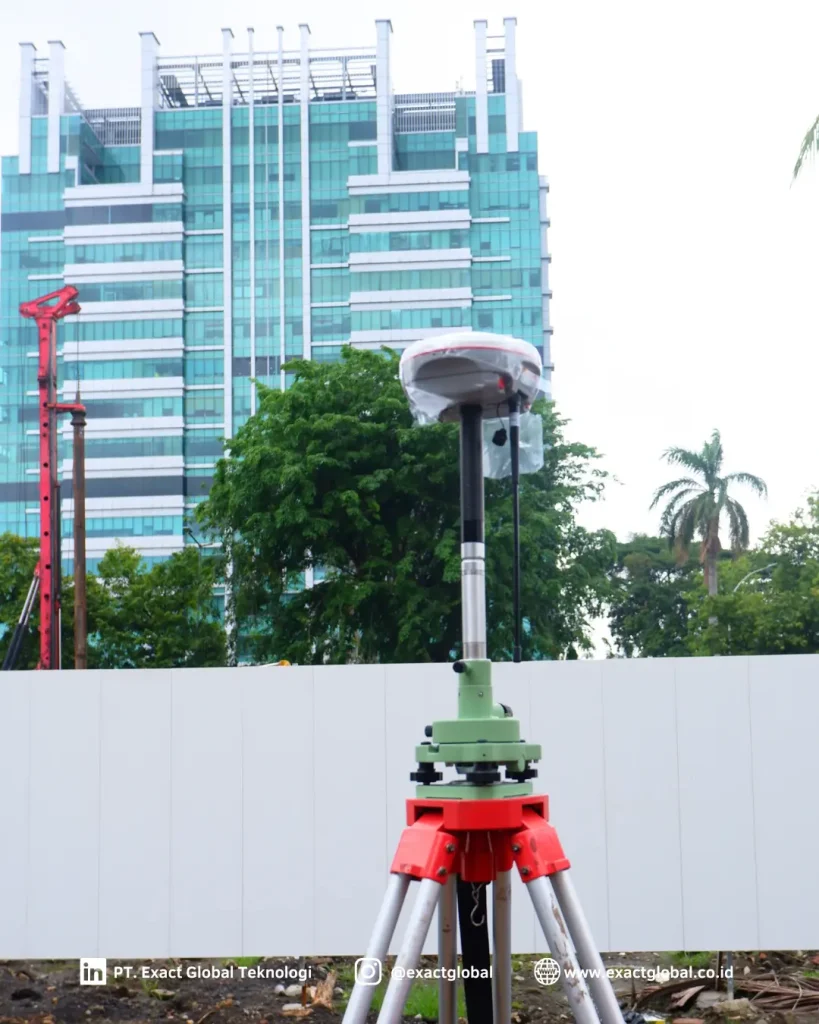
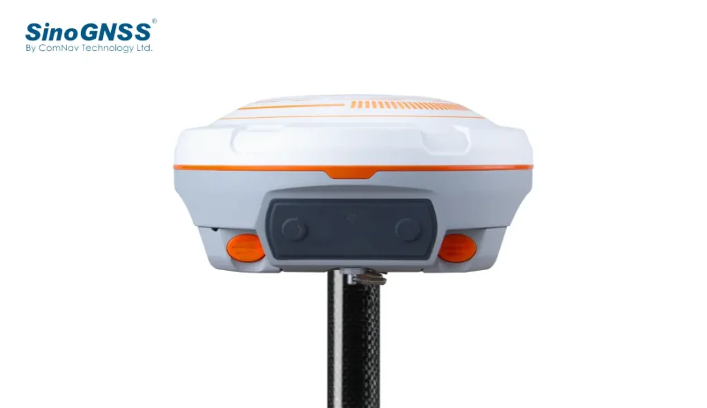
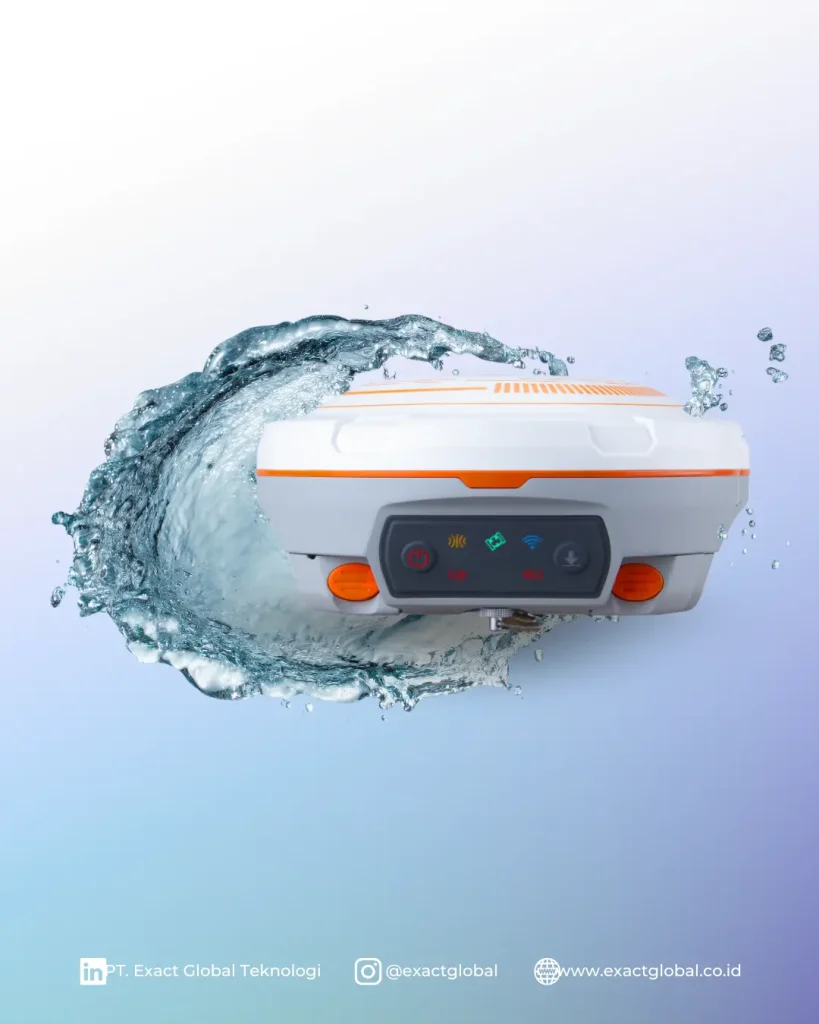
Traditional RTK rovers can be cumbersome during long field days, especially when navigating steep slopes, dense brush, or congested construction sites. Weighing under 500 grams, the ComNav N3 IMU fits in the palm of your hand while maintaining enterprise-grade positioning capability.
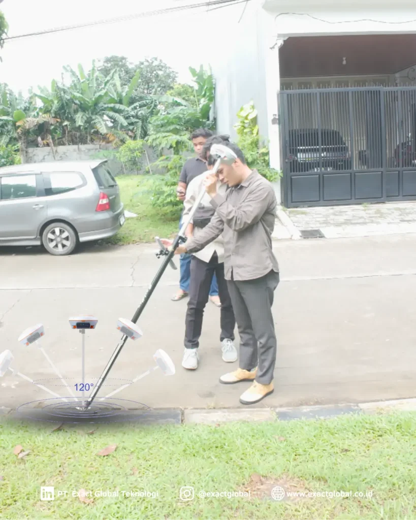
Equipped with an advanced, calibration-free IMU tilt sensor, the N3 allows surveyors to measure hard-to-reach points—such as building corners, underground pipe edges, and fence lines—at tilt angles up to 60° without leveling the pole bubble or worrying about magnetic interference.
Advanced SinoGNSS® Engine & Wireless Connectivity
Engineered for high productivity and reliable data collection across demanding environments:
1500+ Channel Tracking: Tracks GPS, GLONASS, BeiDou (B1I, B2I, B3I, B1C, B2a), Galileo, QZSS, NavIC, and SBAS for fast RTK fixed solutions.
Calibration-Free IMU Tilt Sensor: Instant tilt initialization allows rapid point collection while maintaining millimeter precision.
Integrated Tx/Rx UHF Radio: Multi-protocol internal radio supports both base and rover modes over distances up to 5 km.
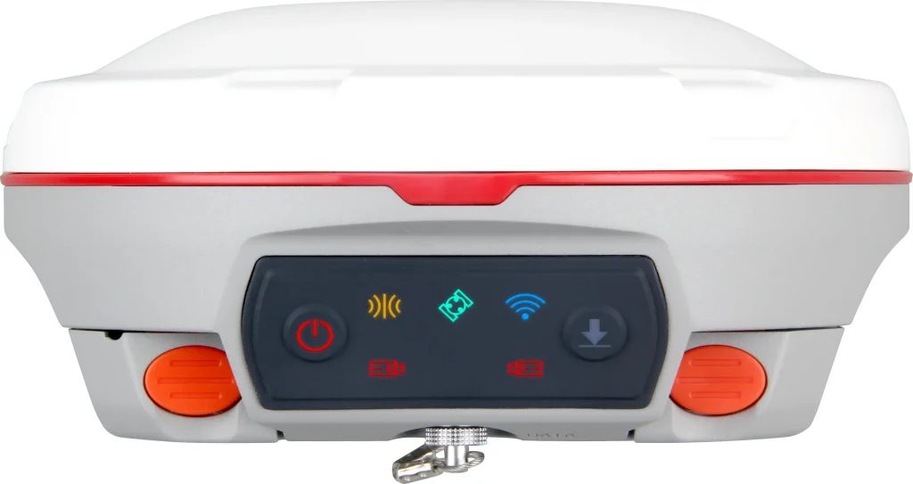
Dual Power & Smart Management: High-capacity internal battery delivers up to 10+ hours of continuous RTK rover operation with USB-C quick-charging support.
NFC Touch Pairing: Instantly connect the N3 receiver to Android controllers running Survey Master software via a simple touch.
Intuitive Data Collection with Survey Master Software
Streamlined CAD stakeout and real-time cloud sync
The N3 receiver pairs seamlessly with ComNav Survey Master software running on Android controllers or smartphones. Featuring an intuitive graphical interface, Survey Master enables field crews to perform topographic mapping, CAD drawing stakeouts, and road cross-section surveys effortlessly.
Field data syncs directly with cloud platforms or exports into standard DWG, DXF, CSV, and SHP formats for instant integration with AutoCAD, ArcGIS, and civil engineering design software.