High-Efficiency Bathymetry Without Crewed Boat Hazards
Eliminate field risks in shallow, toxic, or hazardous water bodies
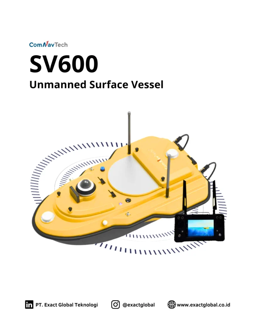
Deploying crewed boats for bathymetric surveys in shallow rivers, industrial tailings ponds, or polluted waterways presents severe safety risks and high operational costs. The ComNav SV600 solves these challenges by transferring the entire survey operation to an autonomous, shore-controlled surface drone.
Equipped with automated path-planning algorithms, the SV600 autonomously follows pre-programmed survey grids with high trajectory precision. Field crews monitor live depth soundings, vessel battery telemetry, and RTK positional status in real time from a shore-based ground control station, reducing survey setup times by over 60%.
Purpose-Built Engineering for Rugged Water Environments
Engineered for high field endurance and reliable data acquisition in demanding aquatic conditions:
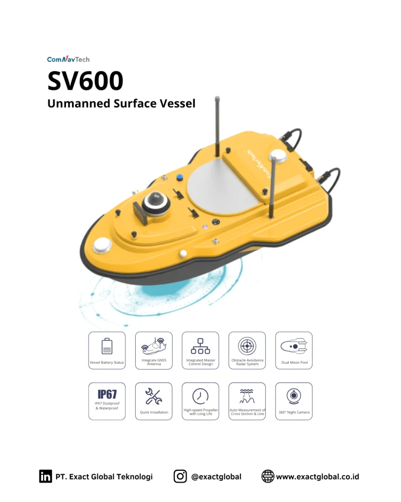
SinoGNSS® High-Precision RTK Integration: Onboard multi-constellation GNSS receiver delivers centimeter-level horizontal and vertical positioning for precise waterbed elevation mapping.
Dual Anti-Weed Thrusters: High-efficiency brushless motors equipped with protective protective grates prevent aquatic weed entanglement and debris clogging in shallow or murky waters.
Modular Composite Hull: Constructed from ultra-lightweight carbon-fiber composite materials, providing high buoyancy, impact resistance, and effortless single-person transport.
Fail-Safe Return-to-Home (RTH): Automatically returns to the launch site upon signal loss, low battery thresholds, or out-of-boundary navigation alerts.
Versatile Sensor Payloads and Wireless Telemetry
Seamless integration with echo sounders, ADCPs, and water quality sensors
The SV600 features an adaptable payload bay designed to house single-beam echo sounders (SBES), multi-beam echo sounders (MBES), Acoustic Doppler Current Profilers (ADCP), or multi-parameter water quality probes. All payload data is automatically synchronized with SinoGNSS timestamped positioning records.
Long-range RF and 4G communication modules stream live bathymetric profiles and HD video feeds directly to the shore controller running hydrographic survey software, enabling immediate field quality control (QC) and digital terrain model (DTM) generation.