Home > ComNav LS600 3D Laser Scanner
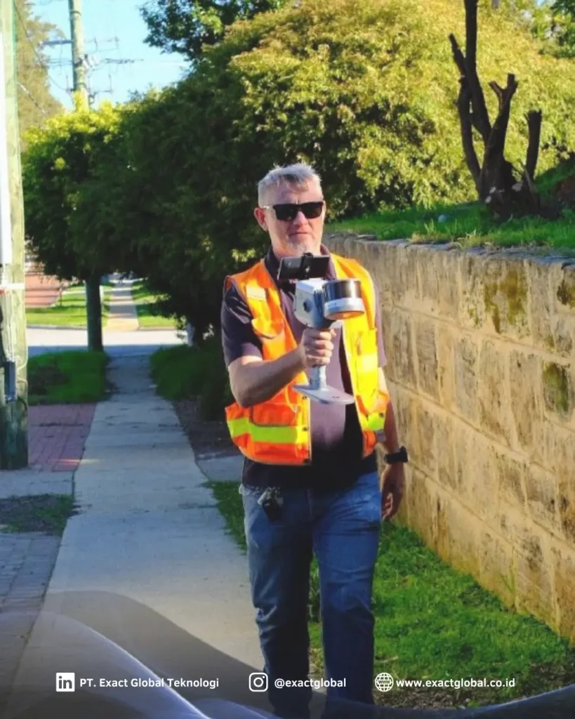
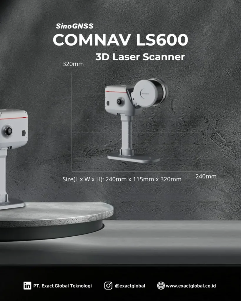
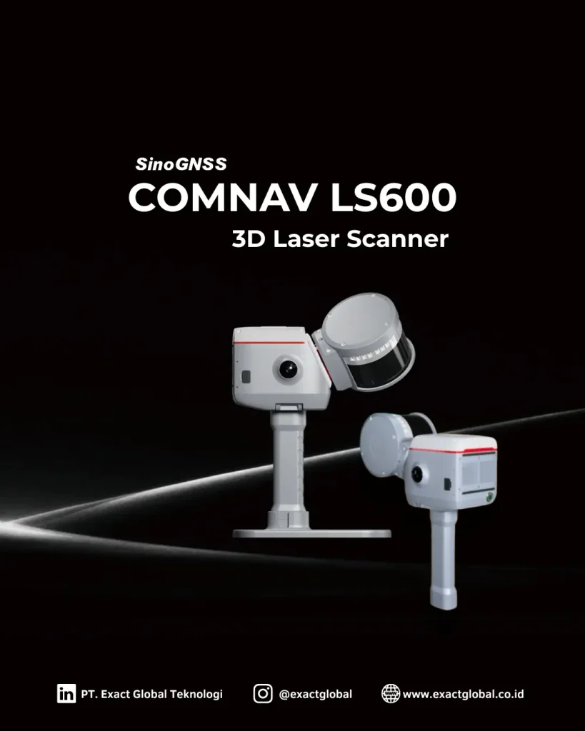
The ComNav LS600 is a high-performance 3D laser scanner engineered for rapid, high-density point cloud acquisition across complex civil, structural, architectural, and smart agricultural environments. Powered by high-speed pulse laser distance measurement and deflection optics, the LS600 captures intricate 3D spatial geometries with millimeter-level accuracy.
Equipped with an integrated high-resolution camera for photorealistic point cloud colorization, dual-axis automatic tilt compensation, and an intuitive touchscreen interface, the LS600 streamlines digital twin generation, as-built BIM verification, crop canopy modeling, and volumetric surveying.


Transform complex physical assets and terrain into actionable 3D digital models
Documenting large infrastructure, historic monuments, or expansive agricultural land with traditional survey methods can take days and leave critical structural gaps. The ComNav LS600 eliminates these limitations by capturing hundreds of thousands of georeferenced 3D points per second, delivering complete digital replicas of complex physical environments in minutes.
Integrated panoramic digital cameras automatically colorize raw point cloud data with true RGB values. This produces photorealistic 3D point cloud models that allow architects, civil engineers, foresters, and facility managers to inspect structural conditions, model crop architecture, perform dimensional audits, and extract CAD/GIS lines remotely.
Engineered for high field productivity and reliable data collection across demanding environments:
High-Speed Pulse Laser System: Captures dense, low-noise point cloud files across both indoor structural spaces and long-range outdoor terrains.
True-Color RGB Imagery: Integrated high-resolution camera maps crisp panoramic color textures onto 3D spatial coordinates.
Dual-Axis Tilt Compensation: Integrated tilt sensors deliver automatic self-leveling corrections to maintain spatial accuracy across extended scanning setups.
Intuitive Touchscreen Interface: Built-in high-brightness display allows field technicians to configure scan parameters, preview point cloud coverage, and manage projects directly on the instrument.
From raw field scans to intelligent 3D spatial deliverables
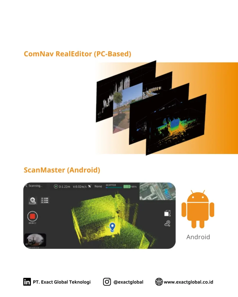
The ComNav LS600 works in tandem with specialized point cloud processing software to streamline target registration, scan alignment, and noise filtering. The software automatically merges multi-station scan setups into a unified coordinate system.
Export datasets seamlessly in standard formats—such as E57, LAS, PTS, and DXF—for direct import into major architectural, civil, and agricultural analysis platforms, including Autodesk Revit, AutoCAD, QGIS, ArcGIS, Bentley MicroStation, and Leica Cyclone.
Precision Agriculture & Agro-Forestry: 3D crop canopy architecture modeling, biomass estimation, Leaf Area Index (LAI) tracking, and timber volume audits for commercial plantations and orchard management.
Agricultural Land Grading & Drainage Design: High-accuracy Digital Terrain Model (DTM) extraction for micro-topography analysis, contour farming, soil erosion tracking, and smart irrigation network planning.
Farm Facility & Agro-Infrastructure BIM: Capture high-precision 3D digital twins of processing plants, grain silos, greenhouse structures, and irrigation channels for facility maintenance and expansion.
As-Built Architecture & BIM: Capture detailed indoor and outdoor building dimensions for MEP coordination, structural analysis, and renovation design.
Civil Infrastructure Inspection: Scan bridges, tunnels, roadways, and retaining walls to track structural deformation and surface wear over time.
Volumetric & Stockpile Audits: Measure open-pit mine faces, aggregate stockpiles, fertilizer reserves, and bulk agricultural storage volumes with sub-centimeter volumetric precision.
Heritage Preservation & Archaeology: Create high-resolution digital archives and 3D models of historic monuments, rural heritage sites, and archaeological excavations.
PT Exact Global Teknologi is an Indonesian provider of geophysical and geospatial equipment, as well as the sole distributor in Indonesia for world-leading products such as Guideline Geo (ABEM and MALA), Geobit, Radiodetection, Mageba, Topcon, Comnav and Xenomatix.
Office : Menara Asia Afrika, Jl. Asia Afrika 133-137, 9th Floor, Bandung City, West Java 40112
Workshop : Jl. Paus Dalam No.41, RT.1/RW.7, Rawamangun, Kec. Pulo Gadung, Kota Jakarta Timur, Daerah Khusus Ibukota Jakarta 13220
Whatsapp : 0812-9252-3900 (WA Only)