Product details
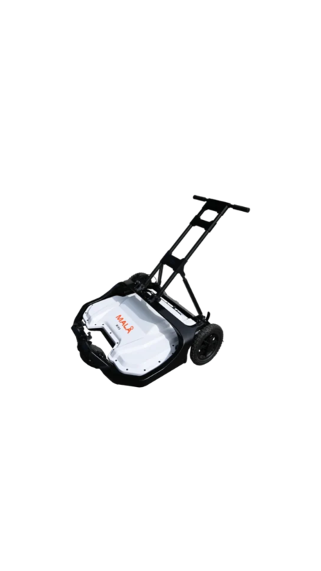
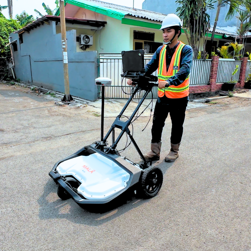
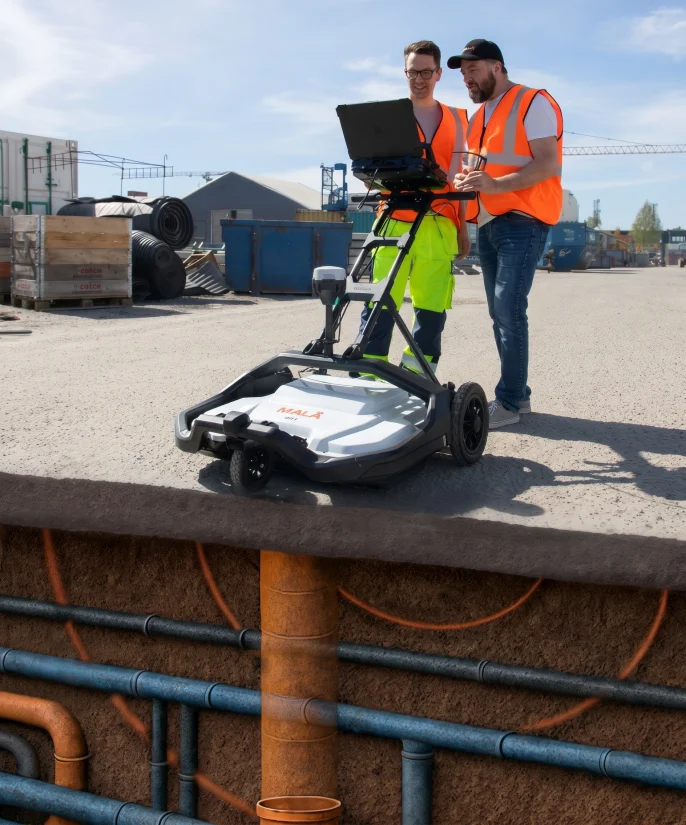
The MALA MIRA 3D is the ultimate solution for large-scale subsurface mapping. Unlike traditional single-channel GPR, the MIRA system utilizes a multi-channel antenna array to collect high-density 3D data in a single pass. This technology enables the creation of detailed 3D maps of underground infrastructure with unmatched speed and precision.
Operating at a 500 MHz frequency, this system is optimized for detecting both metallic and non-metallic utilities, as well as mapping complex subsurface features. The rental package includes a high-performance, extremely rugged laptop to handle large data sets in real-time, ensuring reliable operation in the harshest field environments.
The equipment is available for daily, weekly, or project-based rental, offering a cost-effective way to deploy advanced 3D mapping technology for your critical projects.
Technical Overview
- System Type: 3D GPR Array (Multi-channel).
- Central Frequency: 500 MHz.
- Data Acquisition: High-speed 3D data collection via Rugged Laptop.
- Data Logger Specs: Intel Core i7, 13-inch screen, IP65 (Water/Dust Resistant), 1TB SSD.
- Positioning: Integrated wheel encoder; supports external RTK GPS.
Instrument Rental Package
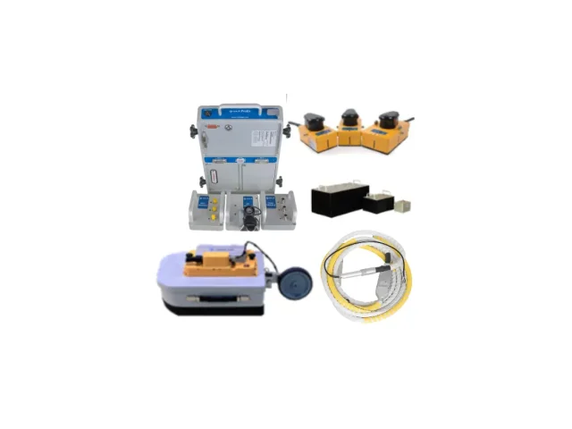
- Main Unit MALA MIRA 3D Antenna Array (500 MHz).
- Extremely Rugged Laptop (13-inch screen, i7, IP65, 1TB SSD).
- MIRA Carrier Solution (Cart or Vehicle Mount).
- Power supply and connection cables.
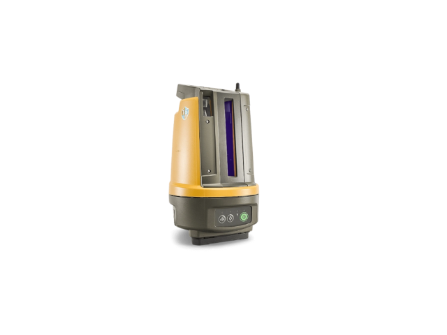
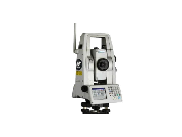
- RTK GPS (Optional).
Optional Add-ons
- RTK GPS / GNSS for survey-grade positioning.
- Professional 3D GPR Operator.
- Post-processing Software (rSlicer or similar).
Large-scale Utility Mapping
Efficient detection of pipes, cables, and voids over large areas.
Location Determination
Precise 3D positioning of complex underground infrastructure.
Road & Pavement Inspection
Mapping asphalt layers and sub-base conditions.
Archaeological Surveys
Rapid non-destructive mapping of large historical sites.