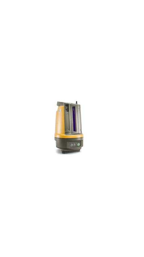
Topcon LN-150 Layout Navigator
Available to buy or rent. Training and local support included.
Product details
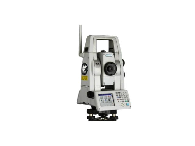
The Topcon LN-150 Layout Navigator bridges the gap between digital design and the physical job site. It is the world’s first 3D layout tool designed specifically for construction verification, allowing you to move from paper plans and tape measures to a fully digital workflow.
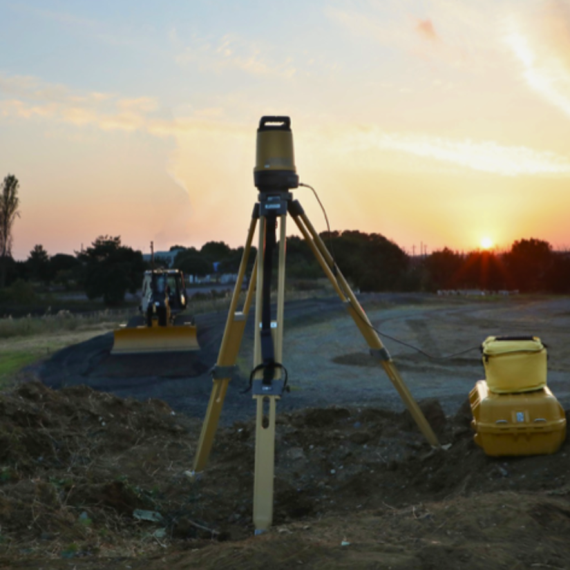
Unlike complex surveying instruments, the LN-150 is built for simplicity with one-button self-leveling setup and easy-to-use software controls. It automatically locks onto the prism for real-time 3D positioning, enabling a single operator to layout points, lines, and CAD drawings with millimeter accuracy over a 130m radius. Whether for interior MEP layout or outdoor foundation work, this tool integrates seamlessly with Autodesk and Bentley cloud workflows.
The equipment is available for daily, weekly, or project-based rental, perfect for contractors needing to accelerate their layout process without the learning curve of a traditional total station.
Technical Overview
- System Type: 3D Laser Layout Navigator (Robotic).
- Working Range: 130m radius (260m diameter coverage).
- Accuracy: Distance ±3mm; High-precision positioning.
- Self-Leveling: Automatic self-leveling range of ±3°.
- Connectivity: Wi-Fi and Long-Range Bluetooth® for cable-free operation.
- Protection: IP65 Dust and Water Resistant.
Instrument Rental Package
- Main Unit: Topcon LN-150 Layout Navigator.
- Controller: Field Controller / Tablet with MAGNET Construct or Pocket3D.
- Prism: 360° Robotic Prism (ATP2).
- Mounting: Heavy-duty Tripod.
- Accessories: Carbon Fiber Pole, Bipod, Batteries (BDC72), and Charger.
- Carrying Case: Rugged hard case for transport.
MEP Layout
Precise positioning of hangers, sleeves, and cable trays.
Concrete & Foundations
Layout of anchor bolts, formwork, and footings
As-Built Verification
Rapid checking of completed structures against BIM models.
Interior Finishing
Wall partitions and ceiling grid layout.
Utility Mapping
Underground utility marking and excavation limits.