Product details
MALÅ ProEx – The Most Versatile Ground Penetrating Radar
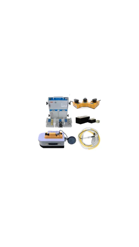
The MALÅ Professional Explorer (ProEx) is a modular, full-range Ground Penetrating Radar (GPR) system designed to meet the rigorous demands of advanced geophysics professionals. Built on a flexible digital platform, it stands as the most versatile control unit on the market, seamlessly replacing the world-famous GPR to deliver accurate and efficient subsurface detection in real-time.
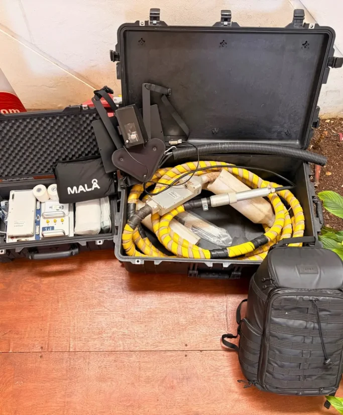
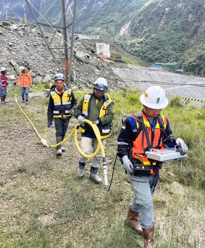
Its standout feature is its multi-channel modularity, which supports a massive array of antenna configurations—from optical and high-frequency to coax. Whether you need ultra-deep penetration using the flexible 30 MHz Rough Terrain Antenna (RTA), the ProEx adapts to your project. Combined with the rugged, IP65-rated XV Monitor and an ergonomic smart backpack, the ProEx keeps you collecting, processing, and presenting multi-channel GPR data effortlessly across the toughest environments.
Technical Overview
-
Sampling Frequency: 2 to > 400 GHz with up to 32,768 stacks (auto stacking).
-
Antenna Compatibility: Supports all MALÅ antennas (Shielded, High-Frequency, Unshielded, Borehole, and Rough Terrain).
-
System Configuration: Modular design supporting up to 8 individual antennas (via Expansion Unit).
-
Control Unit & Monitor: IP65 dust and water resistance, operating from -20 °C to +50 °C.
-
Data Collection: High-bright MALÅ XV Monitor with simple, intuitive dual-function navigation.
Instrument Rental Package
-
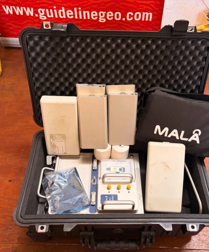
Main Unit: MALÅ ProEx Control Unit & MALÅ XV Monitor.
-
Antennas: MALÅ Antennas RTA.
-
Software: GroundVision2 or MALÅ XV Monitor interface.
- Depth Penetration: (±) 60m.
-
Power: 12V High-capacity Li-ion batteries (approx. 5 hours operating time) & Charger.
-
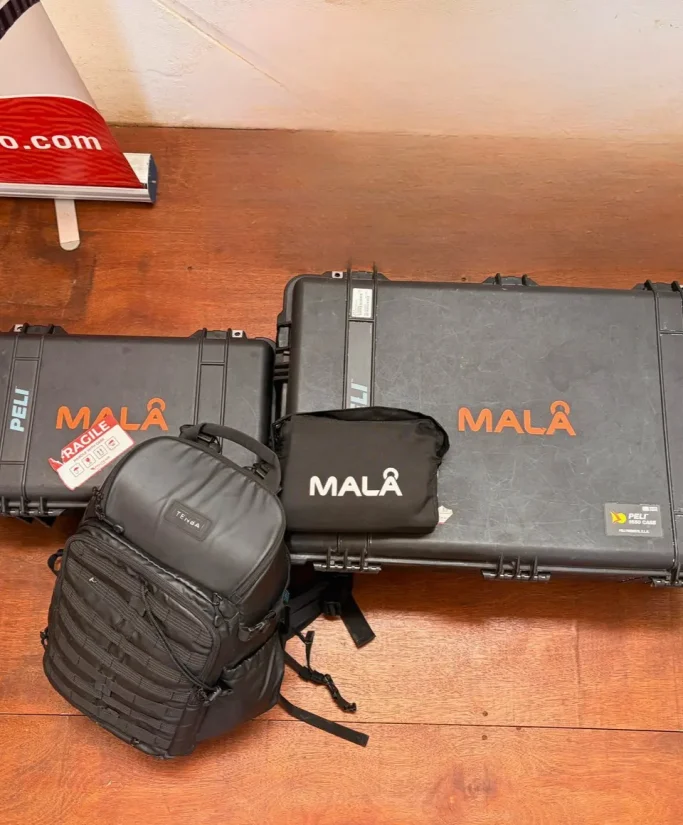
Accessories: The new smart MALÅ Backpack with monitor/PC holder, connecting cables, and protective hard cases.
Infrastructure & Construction
Concrete inspection, rebar detection, and road/pavement surveys using High-Frequency and Shielded antennas.
Geotechnical & Environmental
Bedrock mapping, ice/snow investigations, and identifying groundwater contaminants.
Mining & Mineral Exploration
Deep geological mapping using low-frequency Rough Terrain Antennas (RTA) or Borehole antennas.
Archaeology & Forensics
Non-destructive site mapping and subsurface target detection across various terrains.