MALÅ Easy Locator Core – AI-Powered Ground Penetrating Radar
Available to buy or rent. Training and local support included.
Product details
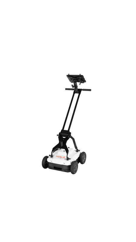
The MALÅ Easy Locator Core is a state-of-the-art Ground Penetrating Radar (GPR) built for utility locating professionals who demand speed, precision, and simplicity. Combining premium Swedish engineering with an ultra-lightweight, rugged design, it delivers unsurpassed resolution and data clarity to accurately detect and map buried utilities in any environment.
Its standout feature is the revolutionary real-time MALÅ AI, which provides instant on-site interpretation by automatically identifying and marking potential pipes and cables as you scan. This intelligent feedback drastically speeds up the survey process for both beginners and experts. Paired with a fully wireless workflow through the MALÅ Controller App and seamless cloud connectivity to MALÅ Vision software, the Easy Locator Core streamlines your entire project—from rapid field data collection to instant 3D mapping and reporting.
Technical Overview
- Technology: AI-Assisted Ground Penetrating Radar (GPR).
- Data Processing: Real-time on-site utility interpretation via MALÅ AI.
- Connectivity: Fully wireless data collection & cloud-connected capabilities.
- Build Quality: Ultra-lightweight and highly ruggedized for tough terrains.
- Performance: Unsurpassed GPR resolution and bandwidth for maximum data clarity.
- Software Support: MALÅ Controller App (Mobile) & MALÅ Vision (Cloud/PC).
Instrument Rental Package
- Main Unit: MALÅ Easy Locator Core GPR System.
- Cart System: MALÅ RTC Mini (Rugged Terrain Cart) for all-terrain mobility.
- Controller: Mobile/Tablet Device pre-installed with MALÅ Controller App.
- Positioning: Emlid RTK GPS unit (integrated for precise spatial mapping).
- Power & Accessories: High-capacity rechargeable batteries, charger, and transport case.
Utility Mark-Out
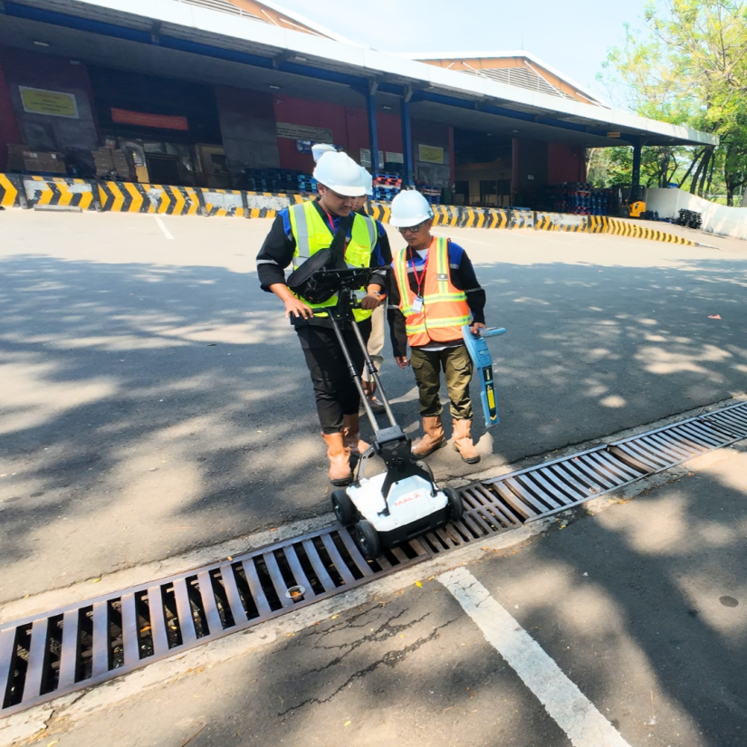
Fast and precise pinpointing of buried pipes and cables ahead of digging.
Damage Avoidance
On-the-fly scanning with instant AI feedback to protect on-site excavation teams.
3D Underground Mapping
Seamlessly integrate with RTK GPS to create permanent, highly accurate utility maps.
Infrastructure Planning
Document buried assets and easily export findings as DXF, KMZ, or printed reports for CAD/GIS workflows.