
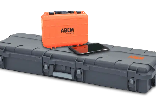
NEW PRODUCT 2024 ABEM GroundTEM
GroundTEM Ralli is the ultimate mobile TEM solution for rapid, high-resolution mapping of groundwater and environmental targets down to 200m.
Geophysical instruments from ABEM and MALÅ, available to buy or rent with local training and support.
GroundTEM Ralli is the ultimate mobile TEM solution for rapid, high-resolution mapping of groundwater and environmental targets down to 200m.
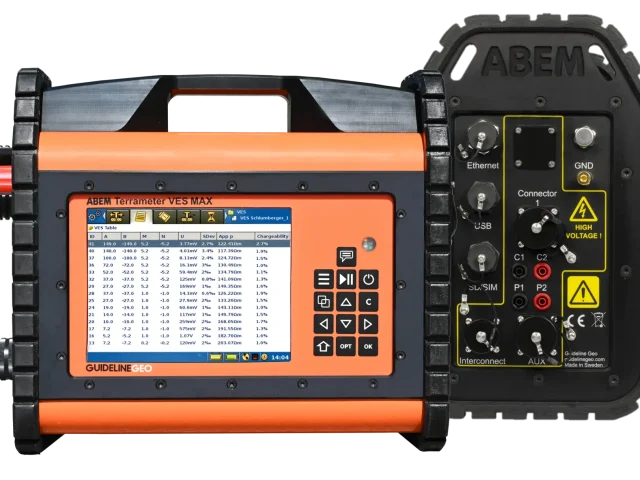
Terrameter VES, based on ABEM Terrameter LS2, excels in performance and functionality for electrical resistivity and inductive polarization (IP) vertical electrical sounding (VES).
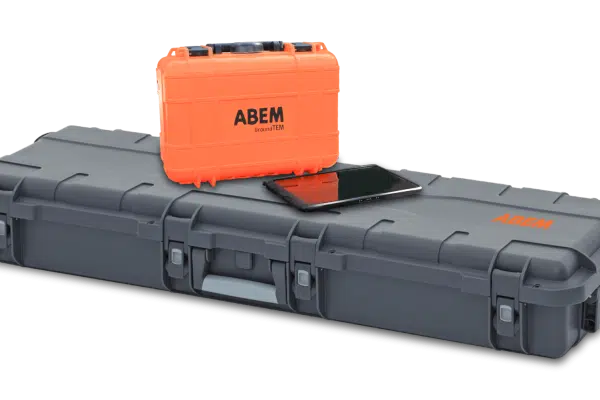
ABEM GroundTEM i10 The ABEM GroundTEM i10 is a game-changing solution for groundwater and environmental surveys. Designed to be more accessible and faster to deploy than traditional TEM systems, the i10 combines high performance with a lightweight, user-friendly design controlled entirely via an intuitive Android App. Despite its compact size, the i10 packs a powerful […]
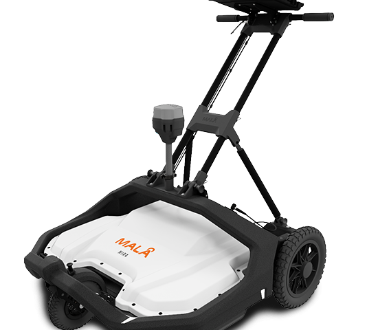
MALÅ MIRA Compact High-Resolution 3D GPR Array Solution The MALÅ MIRA Compact is a ground-breaking 3D GPR (Ground Penetrating Radar) array system engineered for rapid, high-density subsurface mapping. Designed to bridge the gap between single-channel profiling and large-scale vehicle-towed operations, this compact array delivers true 3D data acquisition in a single pass. Built on MALÅ’s […]
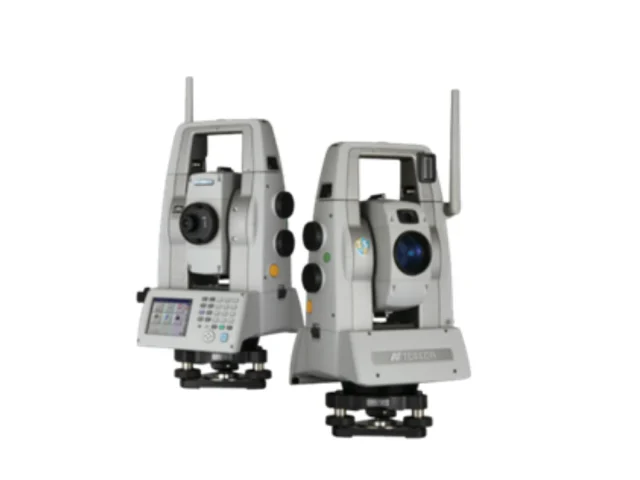
Topcon MS AXII Series Sub-Second & Sub-Millimeter High-Precision Measuring Station The Topcon MS AXII Series (MS05AXII & MS1AXII) represents the apex of high-precision geodetic spatial measurement. Designed specifically for automated structural deformation monitoring, precision industrial alignment, and high-accuracy civil engineering, the MS AXII combines sub-second angular precision with sub-millimeter distance measurement capabilities. Equipped with advanced […]
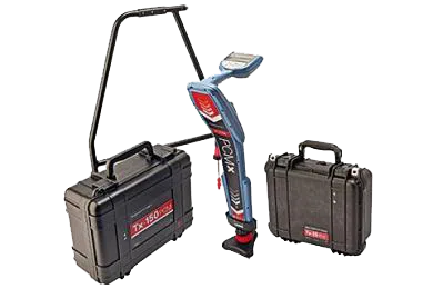
The integrity of buried pipelines is of paramount importance for safety, environmental and cost reasons
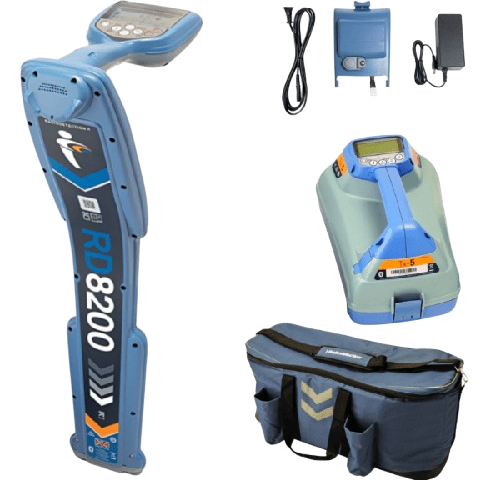
Radiodetection cable locator is designed to prevent professionals working

RD8200 Cable And Pipe Locators The Radiodetection RD8200 is the industry standard for precision damage prevention. Designed for heavily congested underground networks, this advanced locator combines speed, accuracy, and reliability to prevent utility strikes. The RD8200 ensures precise depth readings only when the locator is correctly oriented. It excels in noisy environments with Dynamic Overload […]
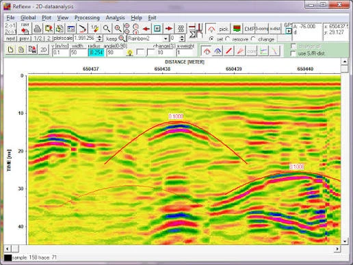
Reflexw is one of the world’s most popular geophysical near surface processing and interpretation packages with more than 2000 sold licences.
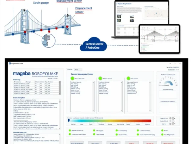
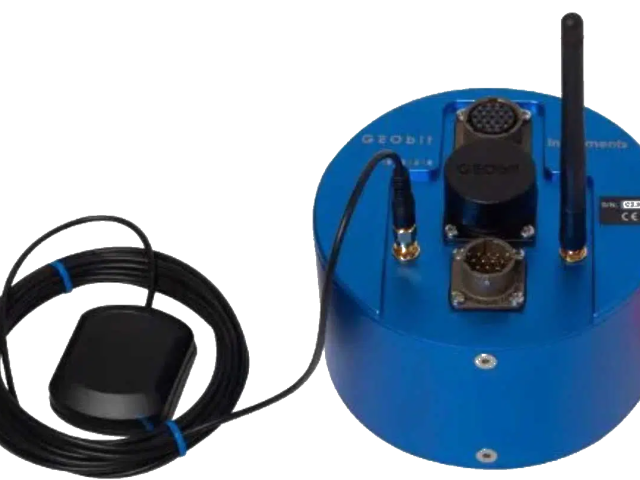
New generation “state of the art” 32-bit ADC seedlink digitizers / recorders, designed on our latest technology.
All the latest software tools are available here for free download. Software for CORE24/32 data format files used on standalone GEObit recorders.