
Building Infrastructure Digital Twins: A Guide to Millimeter-Level 3D Mapping for Complex Projects
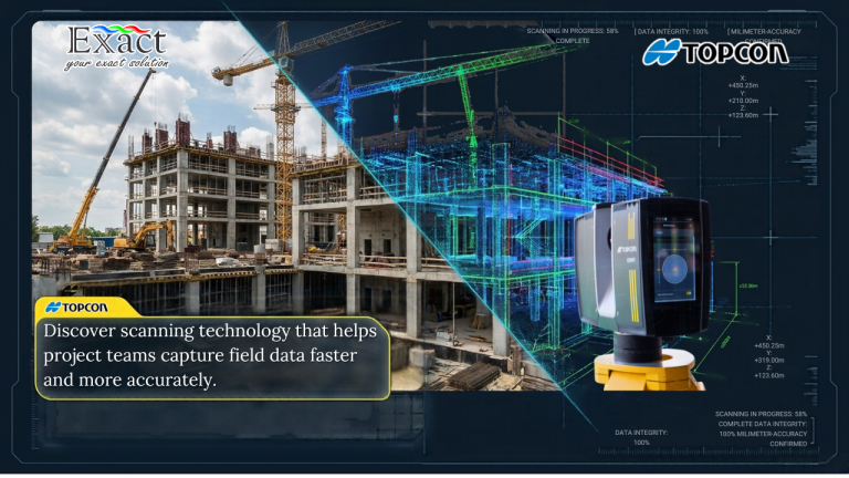
In large-scale infrastructure projects, a deviation as small as 5 millimeters can trigger delay penalties and field rework costs amounting to hundreds of millions of rupiah. This article explores how implementing an Infrastructure Digital Twin using the Topcon CR-P1 3D Laser Scanner transforms Quality Assurance/Quality Control (QA/QC) workflows directly in the field. With a scanning speed of 2 million points per second and a 3D spatial accuracy of 2 mm, engineering teams can capture the complex geometric details of physical assets in real time. Through a Zero Office Post-Processing workflow and Scan-to-BIM software integration, this 3D reality capture technology provides absolute spatial certainty to detect discrepancies early, prevent costly field rework, and protect project profit margins.