Contact Us Contact us

Articles

Guides, case studies, and news on geophysical and geospatial instruments.

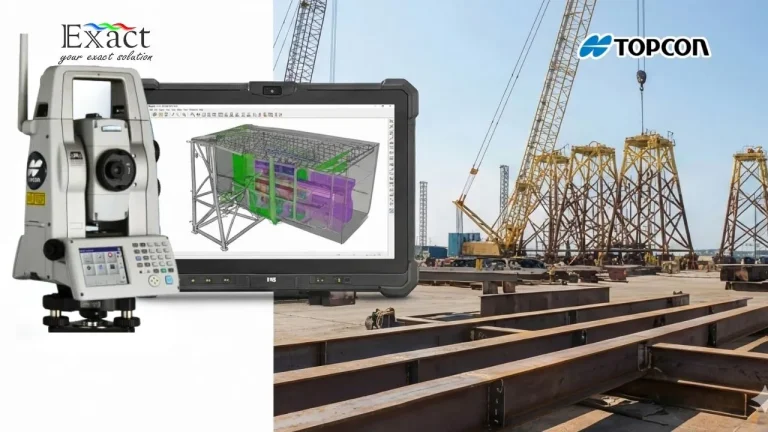
Topcon MS AXII untuk Dimensional Control Survey dan integrasi model 3D CAD di area fabrikasi struktur baja offshore.

Berita Geofisika dan Geospasial

Dimensional Control Survey Indonesia: Preventing Billions of Rupiah in Fabrication Rework with Topcon MS AXII 0.5″ Accuracy

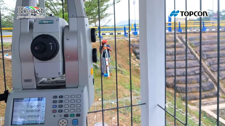
In the heavy infrastructure and offshore sectors, a tiny 4mm measurement error can quickly turn into billions of Rupiah in lost profit due to expensive on-site rework. This executive guide explains how implementing a strict Dimensional Control Survey using the Topcon MS AXII 0.5" robotic total station replaces guesswork with sub-millimeter facts, guaranteeing a First-Time Fit and securing your project's ROI.
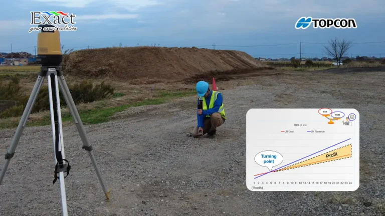
A surveyor performing a 1-man construction layout using the Topcon LN-160 Layout Navigator, featuring a graph showing a 5-month ROI turning point.

Berita Geofisika dan Geospasial

Topcon LN-160: The Easiest Robotic Total Station for Construction Layout (Self-Leveling & Android Ready)

Transform your construction layout workflow with the Topcon LN-160. This robotic layout navigator turns complex surveying into a simple, one-person job. By eliminating the need for a second operator and speeding up stakeout times, project managers can significantly cut labor costs and achieve a full Return on Investment (ROI) in as little as 5 months.